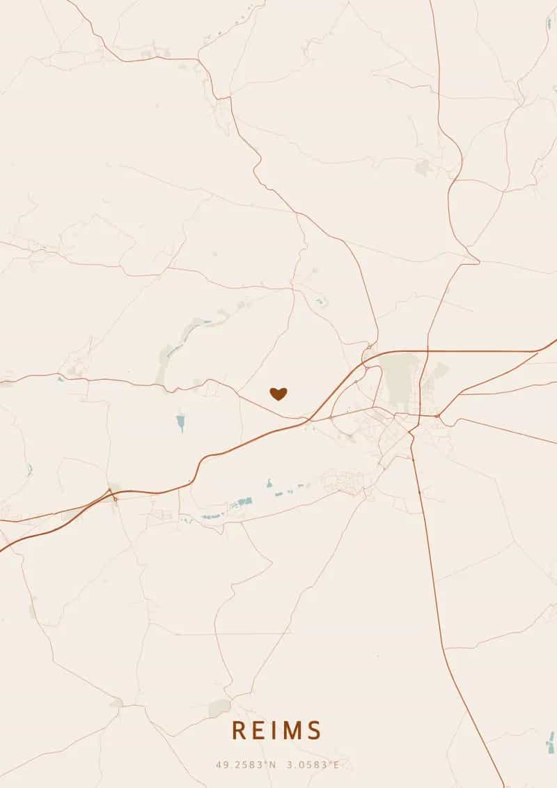
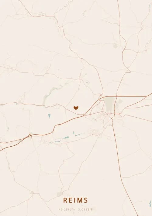
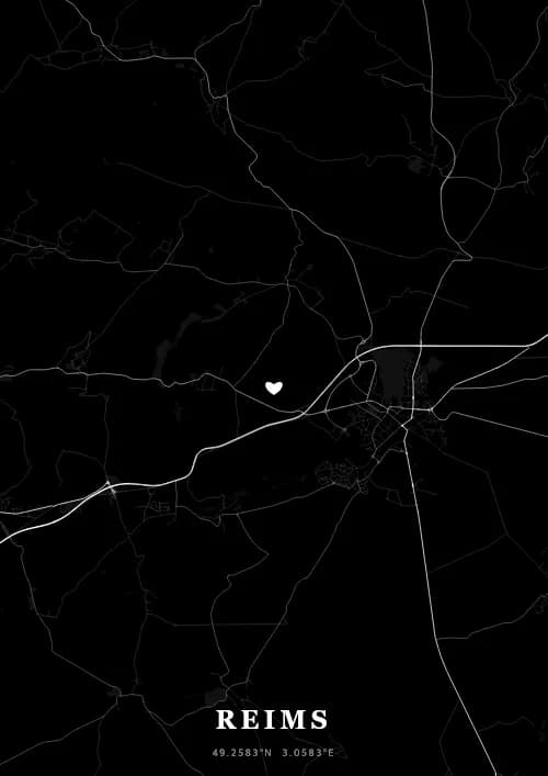
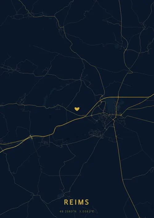
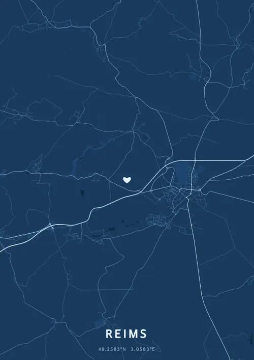
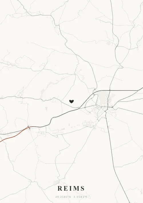
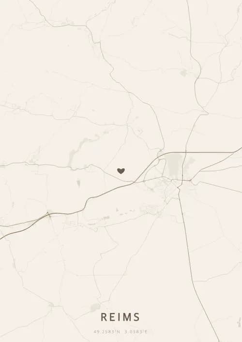
An OwnHomeMap city poster of Reims is a decorative rendering of the supported roads, water features, and green-space polygons returned for the selected area by the active map-data source. Coverage varies by place and source response, so the generated preview—not this page—is the record of what the design will contain. It is not a navigation or surveying map.
Report a map-data or preview issue
Personalized City Map Poster of Reims
49.2583°N, 3.0583°E
City of coronations and capital of champagne, Reims shines beneath a sky steeped in history. Gift a Reims city map poster capturing the streets around the cathedral where French kings were crowned — a present as sparkling as a glass of champagne.
Famous Landmarks
Reims Cathedral
49.2583°N, 3.0583°E
Reims Cathedral, a jewel of classical Gothic art, was the coronation site of 33 French kings from 816 to 1825. Begun in 1211, it is famous for its Smiling Angel and 2,303 statues adorning its facade. A UNESCO World Heritage Site, it embodies eight centuries of French royalty.
Palace of Tau
49.2583°N, 3.0583°E
The Palace of Tau, former residence of the Archbishops of Reims, served as the venue for royal coronation festivities. Built in the 12th century and remodeled in the 17th, it now houses the cathedral treasury, including Charlemagne's talisman and tapestries of the life of Clovis. It is a UNESCO World Heritage Site.
Basilica of Saint-Remi
49.2583°N, 3.0583°E
The Basilica of Saint-Remi, an 11th-century Romanesque and Gothic church, houses the tomb of Saint Remigius who baptized Clovis around 496. At 122 meters long, it is one of the largest Romanesque churches in northern France. Its 13th-century Gothic choir, bathed in light from its stained glass, is remarkably elegant.
Why gift a city map poster of Reims?
Gifting a city map poster of Reims means celebrating a royal moment in the capital of champagne. Whether it was a proposal before the cathedral, a toast in the Veuve Clicquot cellars, or an anniversary on the Place Royale, every Reims memory sparkles through the streets. A gift as effervescent as the city of coronations.
The map of Reims
Located at 49° north latitude, this city reveals a captivating urban fabric, with streets and squares reflecting its deep architectural heritage.
Frequently asked questions
What does a Reims city map poster show?
A Reims city map poster uses the supported roads, water features, and green-space polygons returned for the selected area by the active map-data source. Coverage varies by place and source response, so review the generated preview before ordering. You can personalize the composition with a title, date, and coordinates.
What are the best themes for a Reims poster?
OwnHomeMap offers several visual themes. Available examples for Reims include Midnight Blue for a dark, elegant look, Terracotta for a warm palette, Blueprint for an architectural style, and Noir for a monochrome design. Preview the current themes in the design tool before purchasing.
How accurate is the Reims map?
The poster uses the streets, parks, and waterways returned for Reims by the active map-data source. Coverage and detail vary by location and source response, so review the generated preview before ordering.
Can I get a Reims poster as a gift?
Yes, a Reims city map poster makes a meaningful gift for anyone with a connection to the city — whether they were born there, got married, studied, or simply have cherished memories of Reims. You can add a personal inscription, choose from multiple sizes, and select either a digital PNG file or a printed poster.
Create your city map poster of Reims
From €12.00
Create my city map poster