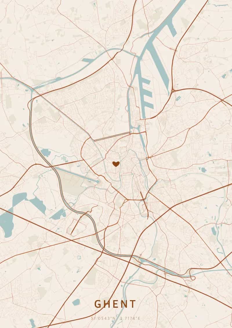
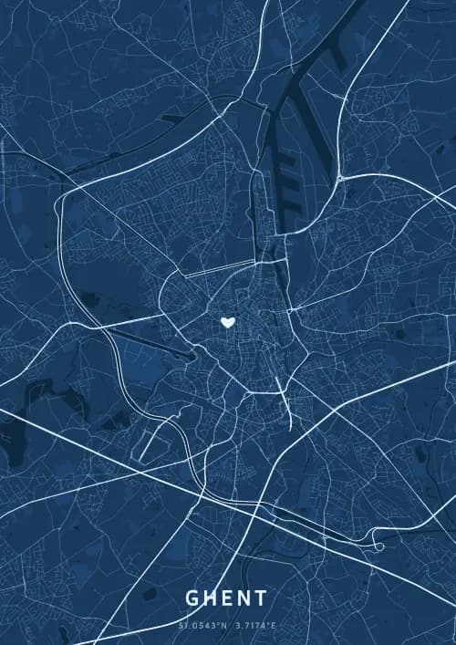
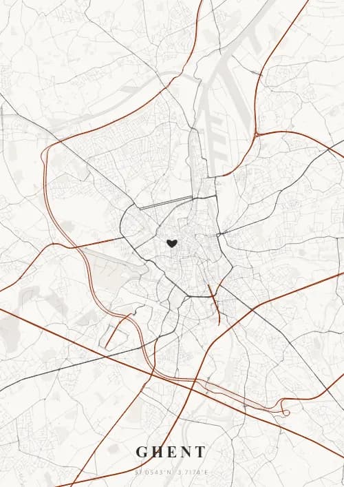
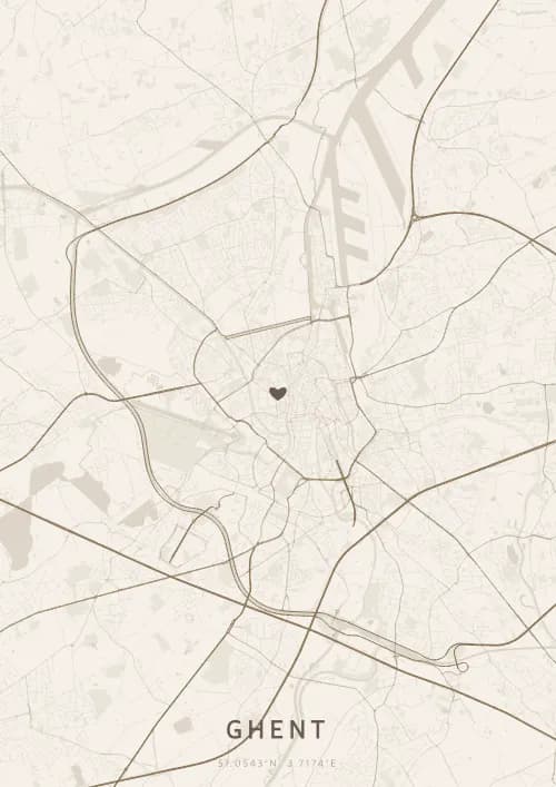
An OwnHomeMap city poster of Ghent is a decorative rendering of the supported roads, water features, and green-space polygons returned for the selected area by the active map-data source. Coverage varies by place and source response, so the generated preview—not this page—is the record of what the design will contain. It is not a navigation or surveying map.
Report a map-data or preview issue
Personalized City Map Poster of Ghent
51.0543°N, 3.7174°E
At the confluence of the Leie and the Scheldt, the streets of Ghent reflect off the medieval facades of the Graslei. Gift a Ghent city map poster — a present as luminous as the belfry's night lighting beneath the Flemish quartiers.
Famous Landmarks
Gravensteen Castle
51.0543°N, 3.7174°E
Gravensteen Castle, built in 1180 by Philip of Alsace, is one of the last intact medieval fortresses in Flanders. Surrounded by a moat fed by the River Leie, it served successively as a count's residence, a prison, and a cotton mill. Its battlements offer panoramic views over Ghent's rooftops.
Ghent Belfry
51.0543°N, 3.7174°E
The Ghent Belfry, standing 91 metres tall, is the tallest belfry in Belgium and a UNESCO World Heritage Site. Built between 1313 and 1380, it once housed the city's privileges in an armoured chest. Its golden dragon atop has watched over Ghent for more than six centuries.
St Bavo's Cathedral
51.0543°N, 3.7174°E
St Bavo's Cathedral, built between the 13th and 16th centuries, is Ghent's largest religious building. It houses the famous Ghent Altarpiece by the Van Eyck brothers, completed in 1432, considered one of the masterpieces of Western art. Its Romanesque crypt dates from the 12th century.
Why gift a city map poster of Ghent?
Gifting a city map poster of Ghent means immortalizing the charm of a vibrant university city where the Middle Ages meet modernity. From the illuminated Graslei to the Gentse Feesten festival, Ghent pulses with canals and lights. A Ghent city map poster captures the beauty of Flemish streets.
The map of Ghent
At 51.1° north latitude, Ghent reveals a striking medieval street plan shaped by the confluence of the Leie and Scheldt rivers. The waterways fan out through the historic centre, creating a network of canals lined with guild houses along the Graslei and Korenlei. The imposing Gravensteen castle and the three towers of the belfry, Saint Bavo's, and Saint Nicholas's punctuate a remarkably dense urban fabric.
Frequently asked questions
What does a Ghent city map poster show?
A Ghent city map poster uses the supported roads, water features, and green-space polygons returned for the selected area by the active map-data source. Coverage varies by place and source response, so review the generated preview before ordering. You can personalize the composition with a title, date, and coordinates.
What are the best themes for a Ghent poster?
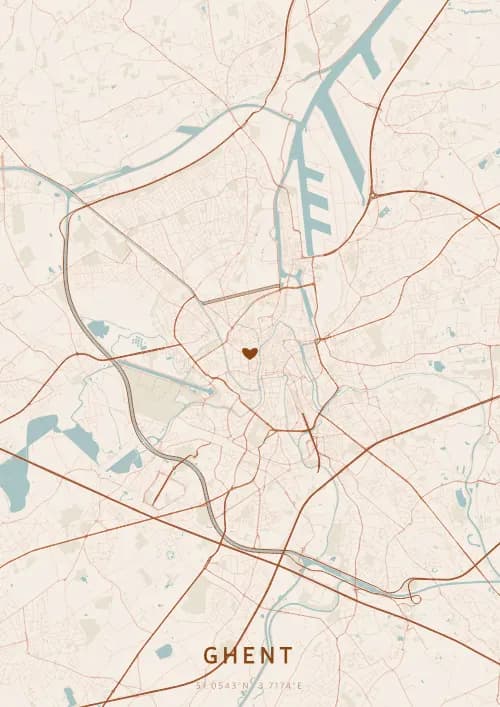
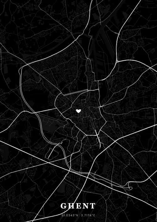
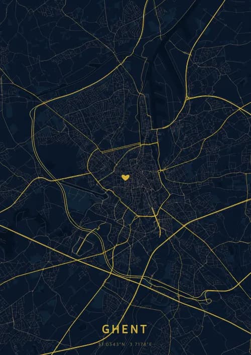
OwnHomeMap offers several visual themes. Available examples for Ghent include Midnight Blue for a dark, elegant look, Terracotta for a warm palette, Blueprint for an architectural style, and Noir for a monochrome design. Preview the current themes in the design tool before purchasing.
How accurate is the Ghent map?
The poster uses the streets, parks, and waterways returned for Ghent by the active map-data source. Coverage and detail vary by location and source response, so review the generated preview before ordering.
Can I get a Ghent poster as a gift?
Yes, a Ghent city map poster makes a meaningful gift for anyone with a connection to the city — whether they were born there, got married, studied, or simply have cherished memories of Ghent. You can add a personal inscription, choose from multiple sizes, and select either a digital PNG file or a printed poster.
Create your city map poster of Ghent
From €12.00
Create my city map poster