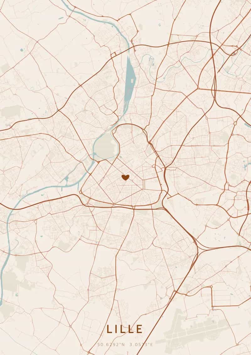
An OwnHomeMap city poster of Lille is a decorative rendering of the supported roads, water features, and green-space polygons returned for the selected area by the active map-data source. Coverage varies by place and source response, so the generated preview—not this page—is the record of what the design will contain. It is not a navigation or surveying map.
Report a map-data or preview issue
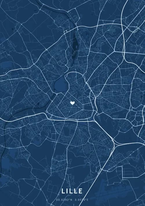
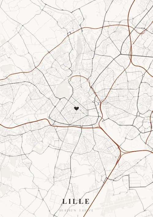
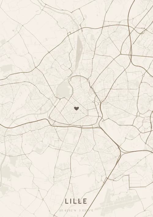
Personalized City Map Poster of Lille
50.6292°N, 3.0573°E
In Old Lille, the streets wind around Flemish facades and the cobblestones of the Grand'Place. Gift a Lille city map poster — a present as warm and generous as the spirit of the North.
Famous Landmarks
Grand'Place
50.6292°N, 3.0573°E
The Grand'Place of Lille, officially Place du Général-de-Gaulle, has been the historic heart of the city since the Middle Ages. Dominated by the Goddess Column commemorating the 1792 siege, it is flanked by richly decorated Flemish facades and the 17th-century Old Stock Exchange.
Palais des Beaux-Arts
50.6292°N, 3.0573°E
The Palais des Beaux-Arts of Lille is the second largest museum in France after the Louvre, housing a collection of over 60,000 works. Inaugurated in 1892, it displays masterpieces by Rubens, Van Dyck, Goya, and Delacroix within a sumptuous Second Empire-style building.
Belfry of Lille
50.6292°N, 3.0573°E
The Belfry of Lille, a UNESCO World Heritage site, rises 104 meters and offers an exceptional panorama over the Lille metropolitan area. Built in 1932 of reinforced concrete in Art Deco style, it is the tallest civic belfry in the region and a symbol of northern communal freedoms.
Why gift a city map poster of Lille?
Gifting a city map poster of Lille means capturing the warmth of a moment beneath the northern sky. Whether it was a birth in the Lille metropolitan area, a wedding in Old Lille, or a first encounter on the Grand'Place during the Braderie flea market, this poster immortalizes the streets that surrounded you at that precise moment. A gift as generous and convivial as Lille itself.
The map of Lille
Located at 50° north latitude, this city reveals a captivating urban fabric, with streets and squares reflecting its deep architectural heritage.
Frequently asked questions
What does a Lille city map poster show?
A Lille city map poster uses the supported roads, water features, and green-space polygons returned for the selected area by the active map-data source. Coverage varies by place and source response, so review the generated preview before ordering. You can personalize the composition with a title, date, and coordinates.
What are the best themes for a Lille poster?
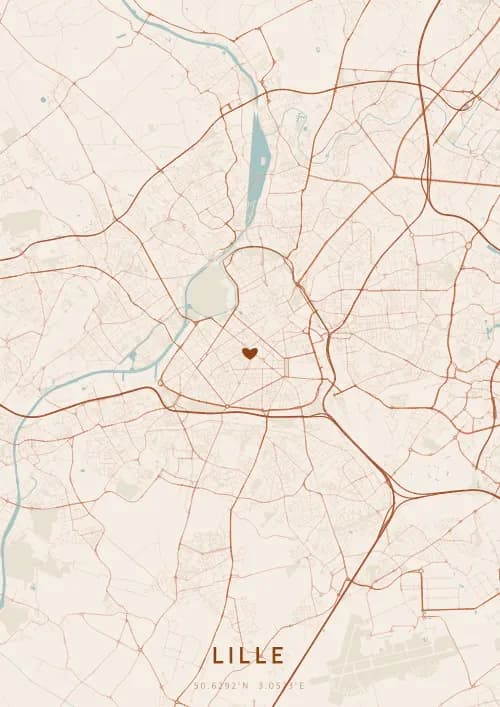
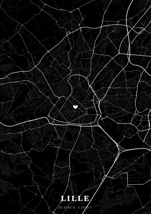
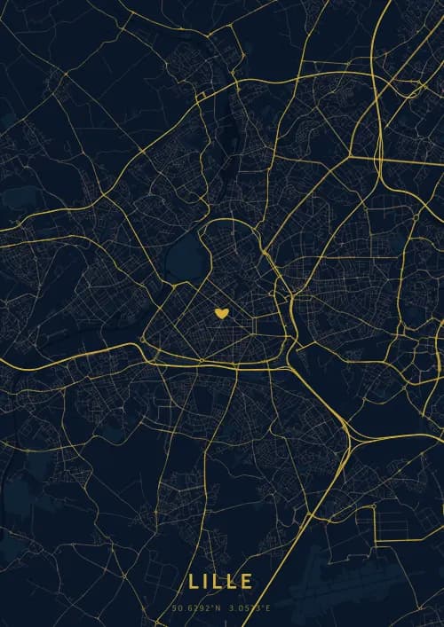
OwnHomeMap offers several visual themes. Available examples for Lille include Midnight Blue for a dark, elegant look, Terracotta for a warm palette, Blueprint for an architectural style, and Noir for a monochrome design. Preview the current themes in the design tool before purchasing.
How accurate is the Lille map?
The poster uses the streets, parks, and waterways returned for Lille by the active map-data source. Coverage and detail vary by location and source response, so review the generated preview before ordering.
Can I get a Lille poster as a gift?
Yes, a Lille city map poster makes a meaningful gift for anyone with a connection to the city — whether they were born there, got married, studied, or simply have cherished memories of Lille. You can add a personal inscription, choose from multiple sizes, and select either a digital PNG file or a printed poster.
Create your city map poster of Lille
From €12.00
Create my city map poster