An OwnHomeMap city poster of Paris is a decorative rendering of the supported roads, water features, and green-space polygons returned for the selected area by the active map-data source. Coverage varies by place and source response, so the generated preview—not this page—is the record of what the design will contain. It is not a navigation or surveying map.
Report a map-data or preview issue
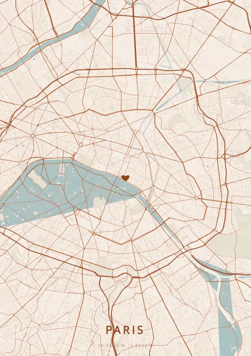
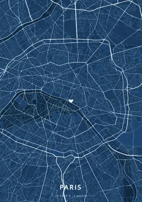
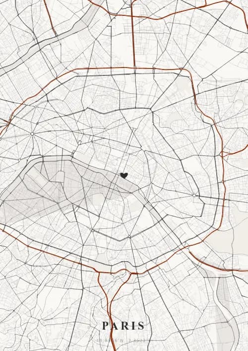
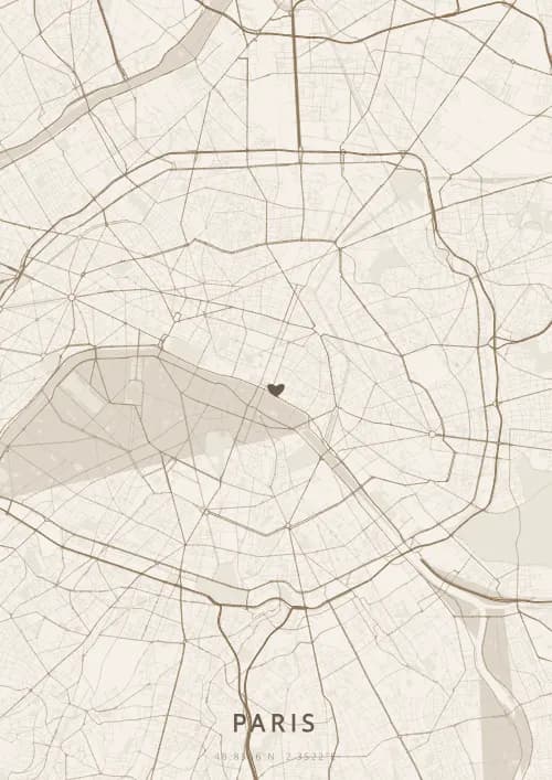
Personalized City Map Poster of Paris
48.8566°N, 2.3522°E
Beneath the Paris sky, streets wind around the Eiffel Tower and the bridges of the Seine. Gift a city map poster immortalizing the street layout above the City of Light — a present as timeless as the most romantic of capitals.
Famous Landmarks
Eiffel Tower
48.8566°N, 2.3522°E
The Eiffel Tower, built by Gustave Eiffel for the 1889 World's Fair, rises 330 meters and welcomes nearly 7 million visitors per year. A universal symbol of Paris and France, its 10,100-tonne puddled iron structure was meant to be dismantled after 20 years but was saved by its radio antenna. It sparkles with 20,000 light bulbs every evening.
Notre-Dame Cathedral
48.8566°N, 2.3522°E
Notre-Dame de Paris, a Gothic masterpiece begun in 1163, stands on the Île de la Cité at the heart of the Seine. Its flying buttresses, 13-meter rose window, and gargoyles have fascinated visitors for over eight centuries. After the devastating 2019 fire, meticulous restoration allowed its reopening in December 2024.
Sacré-Cœur Basilica
48.8566°N, 2.3522°E
The Sacré-Cœur Basilica, built between 1875 and 1914 atop the Montmartre hill at 130 meters altitude, is the highest point in Paris after the Eiffel Tower. Its white travertine dome offers a 360° panorama over the capital. The apse mosaic, one of the largest in the world, covers 475 m².
Why gift a city map poster of Paris?
Gifting a city map poster of Paris means capturing the magic of a moment in the most romantic city in the world. Whether it was a proposal at the foot of the Eiffel Tower, a first kiss on the Pont des Arts, or a detailed layout in Montmartre, every Parisian memory deserves its own city map poster. A gift as timeless as the City of Light itself.
The map of Paris
Sitting at 48.9° north latitude, this city boasts a captivating street grid that reflects its rich urban history and architectural diversity.
Frequently asked questions
What does a Paris city map poster show?
A Paris city map poster uses the supported roads, water features, and green-space polygons returned for the selected area by the active map-data source. Coverage varies by place and source response, so review the generated preview before ordering. You can personalize the composition with a title, date, and coordinates.
What are the best themes for a Paris poster?
OwnHomeMap offers several visual themes. Available examples for Paris include Midnight Blue for a dark, elegant look, Terracotta for a warm palette, Blueprint for an architectural style, and Noir for a monochrome design. Preview the current themes in the design tool before purchasing.
How accurate is the Paris map?
The poster uses the streets, parks, and waterways returned for Paris by the active map-data source. Coverage and detail vary by location and source response, so review the generated preview before ordering.
Can I get a Paris poster as a gift?
Yes, a Paris city map poster makes a meaningful gift for anyone with a connection to the city — whether they were born there, got married, studied, or simply have cherished memories of Paris. You can add a personal inscription, choose from multiple sizes, and select either a digital PNG file or a printed poster.
Create your city map poster of Paris
From €12.00
Create my city map poster