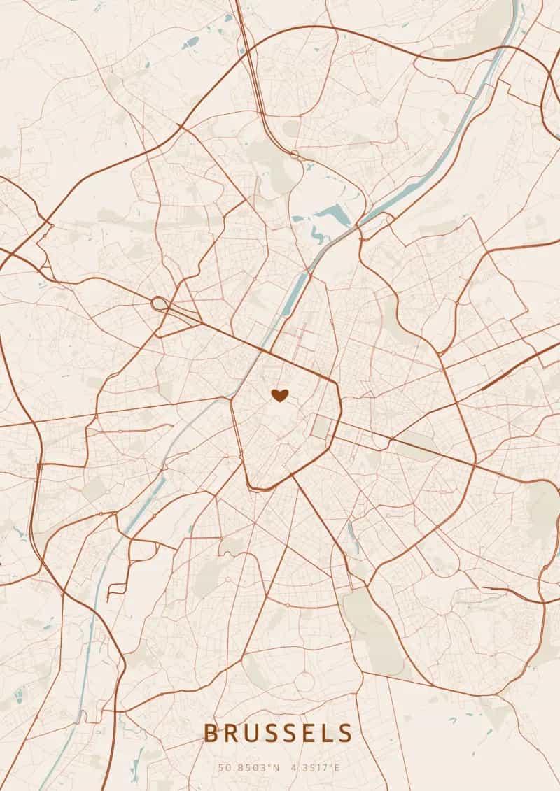
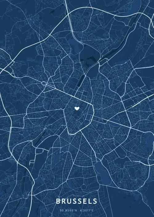
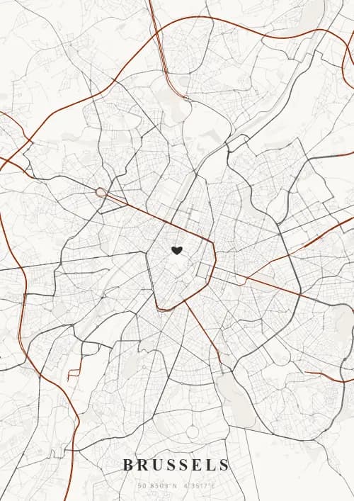
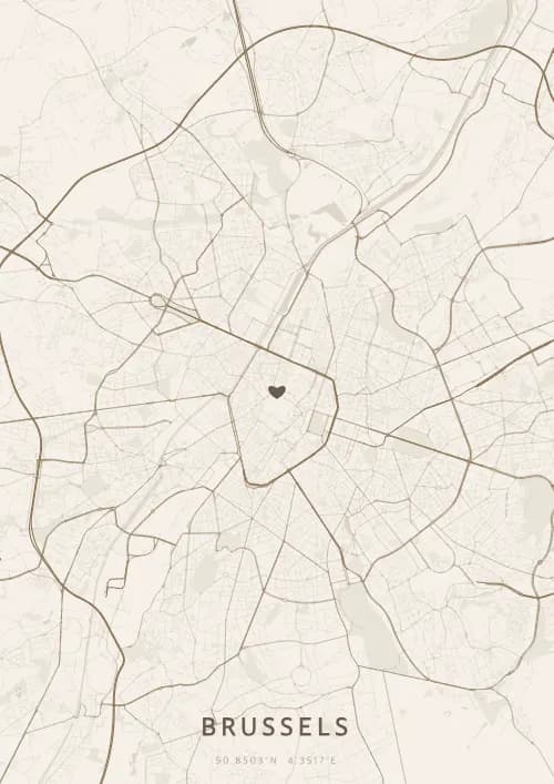
An OwnHomeMap city poster of Brussels is a decorative rendering of the supported roads, water features, and green-space polygons returned for the selected area by the active map-data source. Coverage varies by place and source response, so the generated preview—not this page—is the record of what the design will contain. It is not a navigation or surveying map.
Report a map-data or preview issue
Personalized City Map Poster of Brussels
50.8503°N, 4.3517°E
At the heart of Europe, the streets of Brussels radiate around the Grand Place, a baroque jewel and World Heritage site. Gift a Brussels city map poster — a present as refined as Belgian chocolate beneath the layout of the European capital.
Famous Landmarks
Grand Place
50.8503°N, 4.3517°E
Brussels' Grand Place, a UNESCO World Heritage Site since 1998, is considered one of the most beautiful squares in Europe. Its gilded Baroque facades date from the rebuilding after the French bombardment of 1695. The 15th-century Gothic Town Hall dominates the square with its 96-metre spire.
Atomium
50.8503°N, 4.3517°E
The Atomium, built for the 1958 World's Fair, represents an iron crystal magnified 165 billion times. Standing 102 metres tall, it consists of nine spheres connected by tubes housing escalators and exhibitions. It is Brussels' most iconic monument.
Manneken Pis
50.8503°N, 4.3517°E
Manneken Pis, a small 55-centimetre bronze statue, has been Brussels' humorous symbol since 1619. It boasts a wardrobe of over 1,000 costumes donated by dignitaries from around the world. Tradition dictates that it is dressed up for special occasions and national celebrations.
Why gift a city map poster of Brussels?
Gifting a city map poster of Brussels means celebrating a city where Europe comes together beneath a single plan. From the illuminated Grand Place to the Sablon's chocolate shops, every Brussels evening has its own unique charm. A city map poster of the Belgian capital immortalizes moments shared at the heart of Europe.
The map of Brussels
At 50.9° north latitude, this city features a fascinating urban layout that blends historic quarters with modern developments, reflecting centuries of architectural evolution.
Frequently asked questions
What does a Brussels city map poster show?
A Brussels city map poster uses the supported roads, water features, and green-space polygons returned for the selected area by the active map-data source. Coverage varies by place and source response, so review the generated preview before ordering. You can personalize the composition with a title, date, and coordinates.
What are the best themes for a Brussels poster?
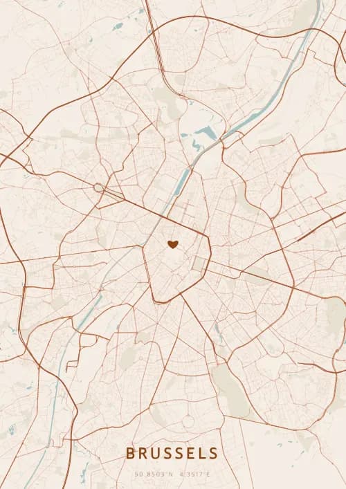
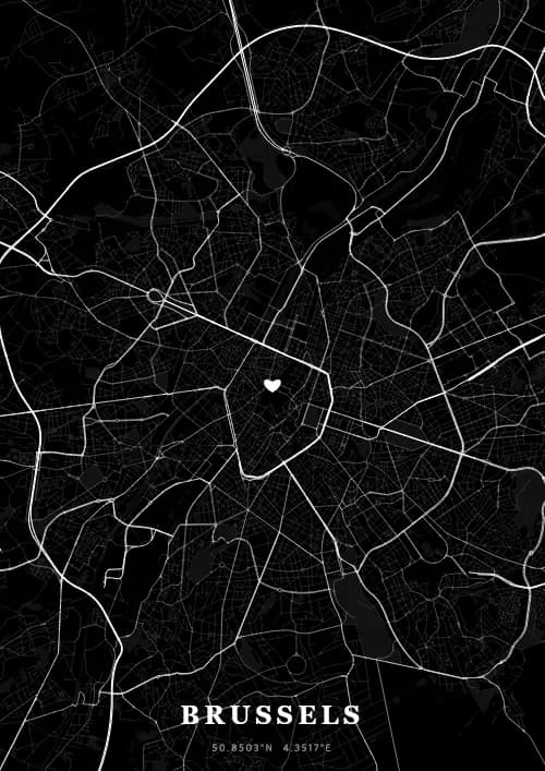
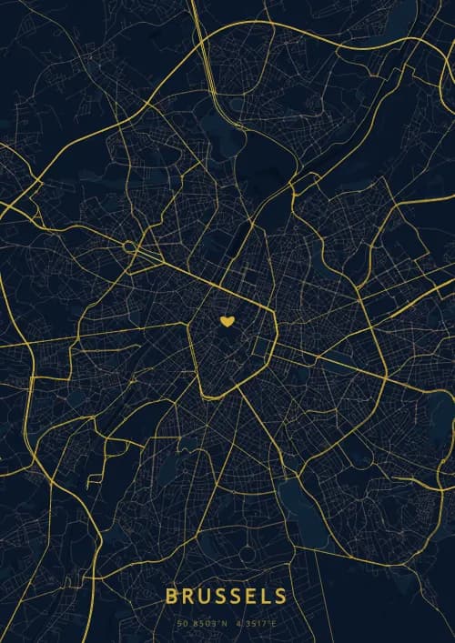
OwnHomeMap offers several visual themes. Available examples for Brussels include Midnight Blue for a dark, elegant look, Terracotta for a warm palette, Blueprint for an architectural style, and Noir for a monochrome design. Preview the current themes in the design tool before purchasing.
How accurate is the Brussels map?
The poster uses the streets, parks, and waterways returned for Brussels by the active map-data source. Coverage and detail vary by location and source response, so review the generated preview before ordering.
Can I get a Brussels poster as a gift?
Yes, a Brussels city map poster makes a meaningful gift for anyone with a connection to the city — whether they were born there, got married, studied, or simply have cherished memories of Brussels. You can add a personal inscription, choose from multiple sizes, and select either a digital PNG file or a printed poster.
Create your city map poster of Brussels
From €12.00
Create my city map poster