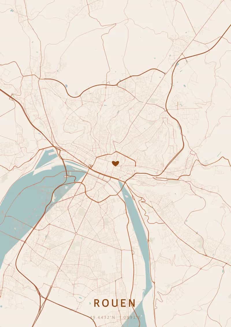
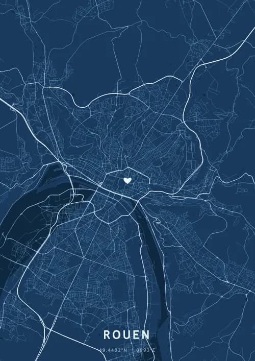
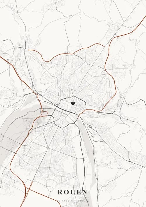
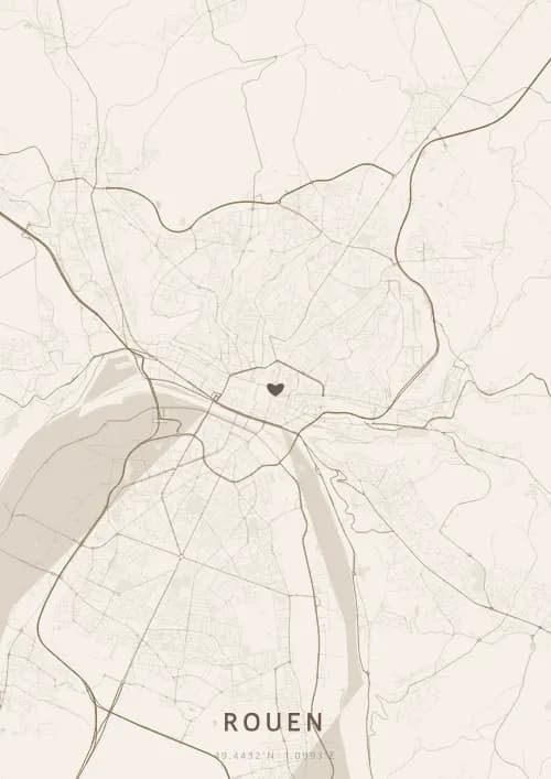
An OwnHomeMap city poster of Rouen is a decorative rendering of the supported roads, water features, and green-space polygons returned for the selected area by the active map-data source. Coverage varies by place and source response, so the generated preview—not this page—is the record of what the design will contain. It is not a navigation or surveying map.
Report a map-data or preview issue
Personalized City Map Poster of Rouen
49.4432°N, 1.0993°E
Capital of Normandy, Rouen reveals its map above the Gothic cathedral immortalized by Monet and its medieval lanes. Gift a Rouen city map poster — a present as striking as the play of light on the spires of the city of a hundred steeples.
Famous Landmarks
Rouen Cathedral
49.4432°N, 1.0993°E
Rouen Cathedral, a Gothic masterpiece, boasts France's tallest spire at 151 meters. Immortalized by Claude Monet in a series of 30 paintings capturing its light variations, it was built between the 12th and 16th centuries. Its intricately carved stone-lace facade is one of the most richly decorated in Europe.
Gros-Horloge
49.4432°N, 1.0993°E
The Gros-Horloge is a 14th-century astronomical clock set within a Renaissance archway spanning the street of the same name. Its one-meter golden dial displays the phases of the moon and the day of the week. It is one of the oldest clockwork mechanisms in France and an iconic symbol of Rouen.
Old Market Square
49.4432°N, 1.0993°E
The Old Market Square is where Joan of Arc was burned at the stake on May 30, 1431. The Church of Saint Joan of Arc, built in 1979 with a roof shaped like an inverted flame, pays tribute to her while housing magnificent 16th-century stained glass from the former Church of Saint-Vincent, destroyed during the war.
Why gift a city map poster of Rouen?
Gifting a city map poster of Rouen means immortalizing a moment beneath the Norman sky, between Gothic spires and impressionist light. Whether it was a wedding in the old town, a first encounter under the Gros-Horloge, or a memory on the Seine riverbanks, every Rouen moment deserves its city map poster. A gift as rich and nuanced as Monet's paintings.
The map of Rouen
At 49° north latitude in the Seine valley, Rouen's street plan is shaped by the river's meanders. The medieval streets of the historic centre form a dense web around the cathedral, while the straight Seine embankments structure the lower city. Six bridges connecting the right and left banks create a map of contrasting lines between the old fabric and port developments.
Frequently asked questions
What does a Rouen city map poster show?
A Rouen city map poster uses the supported roads, water features, and green-space polygons returned for the selected area by the active map-data source. Coverage varies by place and source response, so review the generated preview before ordering. You can personalize the composition with a title, date, and coordinates.
What are the best themes for a Rouen poster?
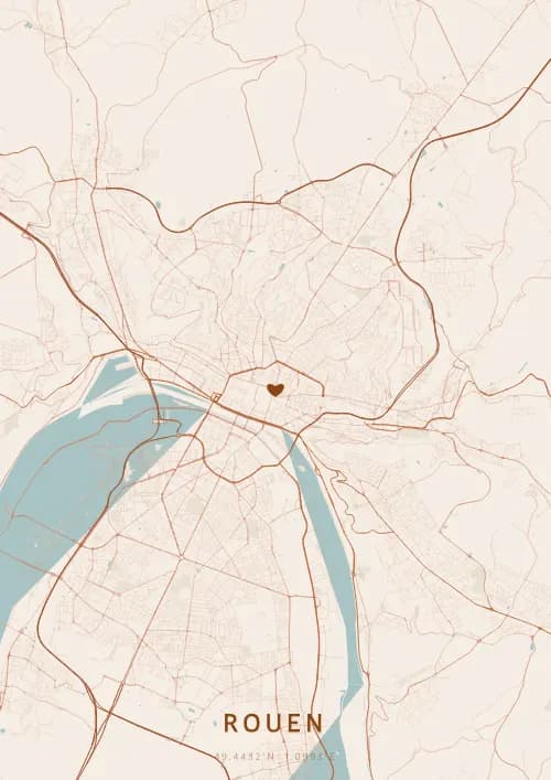
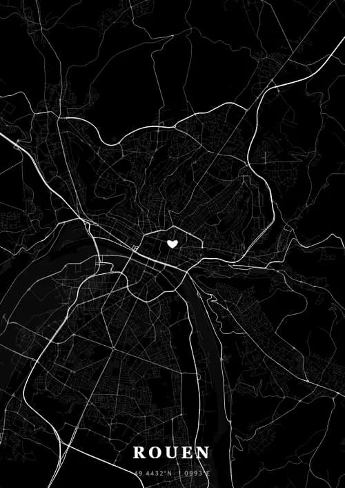
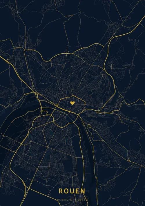
OwnHomeMap offers several visual themes. Available examples for Rouen include Midnight Blue for a dark, elegant look, Terracotta for a warm palette, Blueprint for an architectural style, and Noir for a monochrome design. Preview the current themes in the design tool before purchasing.
How accurate is the Rouen map?
The poster uses the streets, parks, and waterways returned for Rouen by the active map-data source. Coverage and detail vary by location and source response, so review the generated preview before ordering.
Can I get a Rouen poster as a gift?
Yes, a Rouen city map poster makes a meaningful gift for anyone with a connection to the city — whether they were born there, got married, studied, or simply have cherished memories of Rouen. You can add a personal inscription, choose from multiple sizes, and select either a digital PNG file or a printed poster.
Create your city map poster of Rouen
From €12.00
Create my city map poster