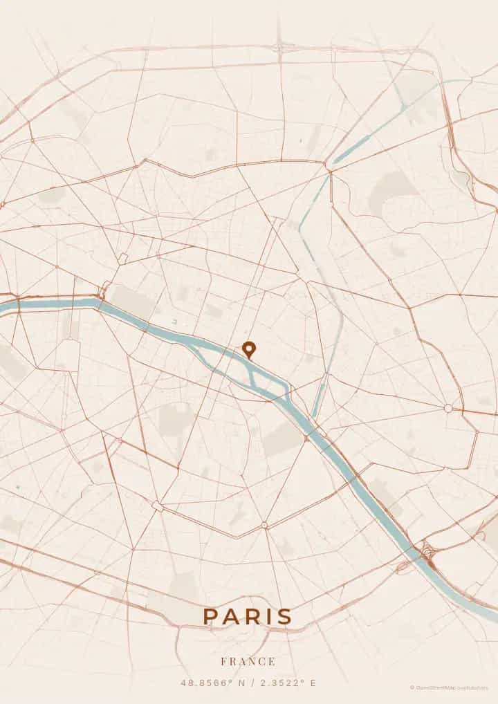
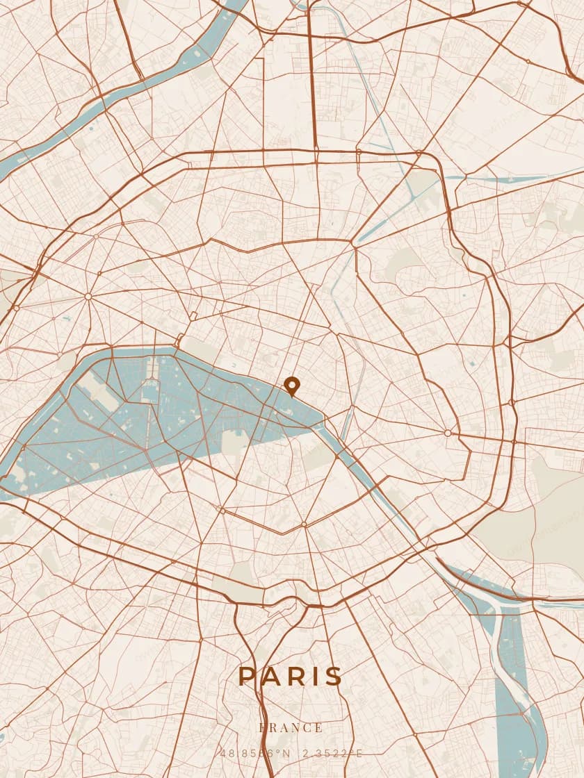
An OwnHomeMap city poster of Utrecht is a decorative rendering of the supported roads, water features, and green-space polygons returned for the selected area by the active map-data source. Coverage varies by place and source response, so the generated preview—not this page—is the record of what the design will contain. It is not a navigation or surveying map.
Report a map-data or preview issue
Personalized City Map Poster of Utrecht
52.0907°N, 5.1214°E
At the heart of the Netherlands, Utrecht reveals its map above the majestic Dom Tower and its uniquely wharf-lined canals. Gift a Utrecht city map poster — a present as charming as the sunken wharves along the Oudegracht.
Famous Landmarks
Dom Tower
52.0907°N, 5.1214°E
The Dom Tower, standing 112 metres tall, is the tallest church tower in the Netherlands and Utrecht's most iconic symbol. Built between 1321 and 1382 in Gothic style, it survived a violent tornado in 1674 that destroyed the nave of the adjacent cathedral. Its 465 steps lead to an exceptional panorama over the city and Dutch countryside.
Oudegracht
52.0907°N, 5.1214°E
The Oudegracht is Utrecht's main canal, unique in the Netherlands for its medieval two-level wharves. The lower level, directly at the waterside, once housed warehouses that are now converted into lively restaurants and terraces. This 2-kilometre canal is the social and culinary heart of the city.
Centraal Museum
52.0907°N, 5.1214°E
The Centraal Museum of Utrecht, founded in 1838, is the oldest municipal museum in the Netherlands. Its collections span art and design from the Middle Ages to the present, with a particular focus on the Utrecht School and the work of Gerrit Rietveld. The famous Rietveld Schröder House, a De Stijl masterpiece, is managed by the museum.
Why gift a city map poster of Utrecht?
Gifting a city map poster of Utrecht means capturing a moment above the most charming university city in the Netherlands. Whether it was a first meeting on the Oudegracht terraces, an anniversary at Wilhelmina Park, or an evening beneath the illuminated Dom Tower, this poster immortalizes the streets of that moment. A gift as warm as the atmosphere of this human-scale city.
The map of Utrecht
At 52° north latitude in the heart of the Netherlands, Utrecht is structured around the Oudegracht, a unique canal with double-level wharves dating from the Middle Ages. The Dom Tower, the tallest tower in the Netherlands, dominates a compact medieval lane network radiating from the historic core. The Nieuwegracht and Kromme Nieuwegracht canals trace elegant curves on the map, reflecting preserved organic urban planning.
Frequently asked questions
What does a Utrecht city map poster show?
A Utrecht city map poster uses the supported roads, water features, and green-space polygons returned for the selected area by the active map-data source. Coverage varies by place and source response, so review the generated preview before ordering. You can personalize the composition with a title, date, and coordinates.
What are the best themes for a Utrecht poster?
OwnHomeMap offers several visual themes. Available examples for Utrecht include Midnight Blue for a dark, elegant look, Terracotta for a warm palette, Blueprint for an architectural style, and Noir for a monochrome design. Preview the current themes in the design tool before purchasing.
How accurate is the Utrecht map?
The poster uses the streets, parks, and waterways returned for Utrecht by the active map-data source. Coverage and detail vary by location and source response, so review the generated preview before ordering.
Can I get a Utrecht poster as a gift?
Yes, a Utrecht city map poster makes a meaningful gift for anyone with a connection to the city — whether they were born there, got married, studied, or simply have cherished memories of Utrecht. You can add a personal inscription, choose from multiple sizes, and select either a digital PNG file or a printed poster.
Create your city map poster of Utrecht
From €12.00
Create my city map poster