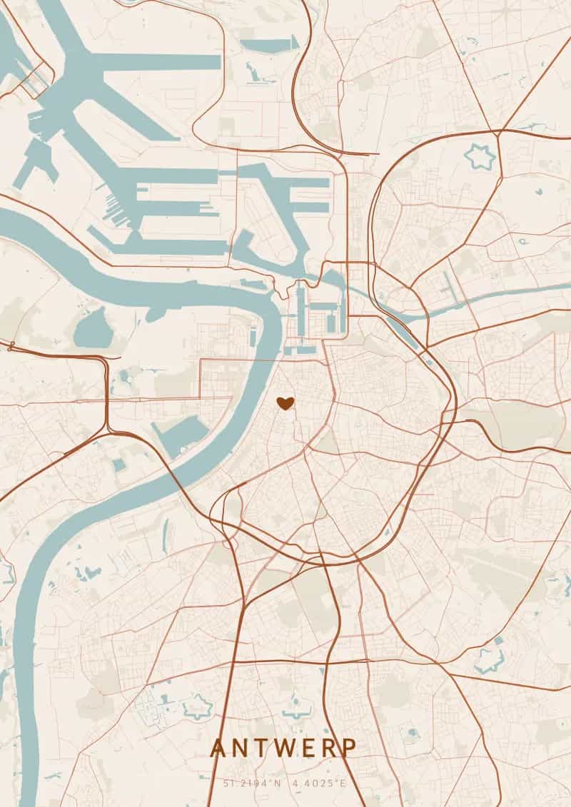
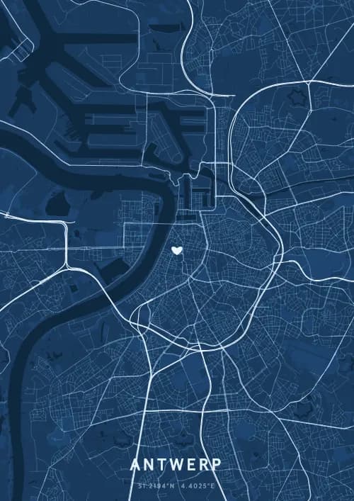
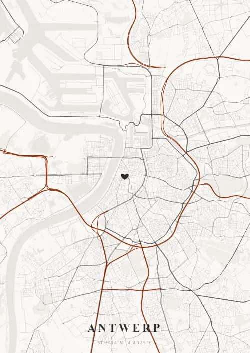
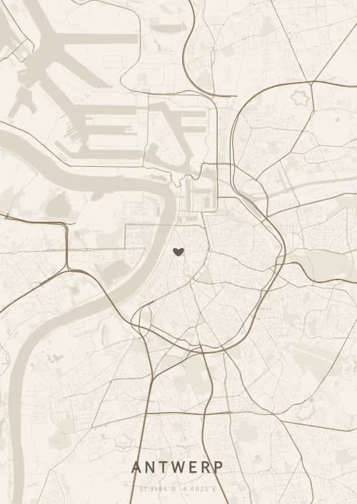
An OwnHomeMap city poster of Antwerp is a decorative rendering of the supported roads, water features, and green-space polygons returned for the selected area by the active map-data source. Coverage varies by place and source response, so the generated preview—not this page—is the record of what the design will contain. It is not a navigation or surveying map.
Report a map-data or preview issue
Personalized City Map Poster of Antwerp
51.2194°N, 4.4025°E
World diamond capital, Antwerp sparkles beneath the streets around its Gothic cathedral and the MAS. Gift a Antwerp city map poster — a present as precious as a cut diamond beneath the Flemish sky.
Famous Landmarks
Cathedral of Our Lady
51.2194°N, 4.4025°E
The Cathedral of Our Lady in Antwerp, built between 1352 and 1521, boasts the tallest church tower in the Benelux at 123 metres. It houses four masterpieces by Peter Paul Rubens, including The Raising of the Cross. Its Brabantine Gothic architecture is a UNESCO World Heritage Site.
MAS (Museum aan de Stroom)
51.2194°N, 4.4025°E
The MAS (Museum aan de Stroom), opened in 2011, is a 60-metre-tall building of ten floors clad in red sandstone and undulating glass. Its panoramic rooftop terrace offers 360-degree views of the port and city. The collections trace Antwerp's maritime and commercial history.
Central Station
51.2194°N, 4.4025°E
Antwerp Central Station, opened in 1905, is often called the most beautiful railway station in the world. Its neo-Baroque main hall, topped by a 75-metre dome, resembles a palace. The iron-and-glass railway viaduct extending behind it is a remarkable feat of architecture.
Why gift a city map poster of Antwerp?
Gifting a city map poster of Antwerp means celebrating a city where diamonds rival the streets. From the MAS rooftop to the Art Nouveau quarter of Zurenborg, Antwerp blends heritage and modernity beneath a luminous Flemish sky. An Antwerp city map poster is a gift as precious as the city itself.
The map of Antwerp
At 51.2° north latitude, Antwerp unfolds a city plan shaped by the Scheldt and its immense port, Europe's second largest. The river quays, open to the northwest, offer vast perspectives rare in an urban setting. The diamond quarter around the central station and the Art Nouveau district of Zurenborg create contrasting textures on the map, while the medieval lanes around the cathedral recall the Flemish Golden Age.
Frequently asked questions
What does a Antwerp city map poster show?
A Antwerp city map poster uses the supported roads, water features, and green-space polygons returned for the selected area by the active map-data source. Coverage varies by place and source response, so review the generated preview before ordering. You can personalize the composition with a title, date, and coordinates.
What are the best themes for a Antwerp poster?
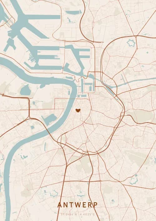
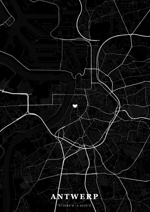
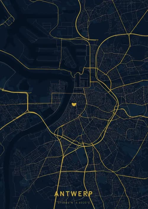
OwnHomeMap offers several visual themes. Available examples for Antwerp include Midnight Blue for a dark, elegant look, Terracotta for a warm palette, Blueprint for an architectural style, and Noir for a monochrome design. Preview the current themes in the design tool before purchasing.
How accurate is the Antwerp map?
The poster uses the streets, parks, and waterways returned for Antwerp by the active map-data source. Coverage and detail vary by location and source response, so review the generated preview before ordering.
Can I get a Antwerp poster as a gift?
Yes, a Antwerp city map poster makes a meaningful gift for anyone with a connection to the city — whether they were born there, got married, studied, or simply have cherished memories of Antwerp. You can add a personal inscription, choose from multiple sizes, and select either a digital PNG file or a printed poster.
Create your city map poster of Antwerp
From €12.00
Create my city map poster