An OwnHomeMap city poster of Rotterdam is a decorative rendering of the supported roads, water features, and green-space polygons returned for the selected area by the active map-data source. Coverage varies by place and source response, so the generated preview—not this page—is the record of what the design will contain. It is not a navigation or surveying map.
Report a map-data or preview issue
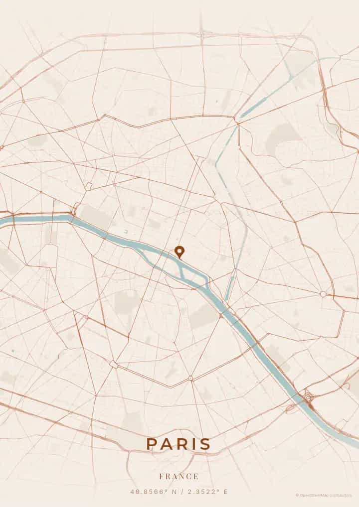
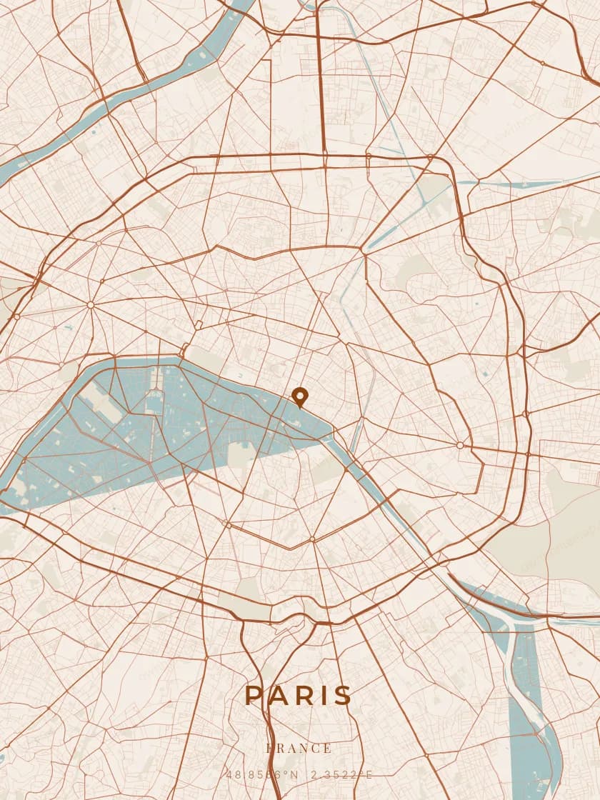
Personalized City Map Poster of Rotterdam
51.9244°N, 4.4777°E
A city of bold architecture, Rotterdam unfurls its map around the Erasmus Bridge and the Cube Houses. Gift a Rotterdam city map poster — a present as innovative as the skyline of this port metropolis along the Nieuwe Maas.
Famous Landmarks
Erasmus Bridge
51.9244°N, 4.4777°E
The Erasmus Bridge, nicknamed 'The Swan' for its elegant silhouette, connects north and south Rotterdam at 802 metres long. Inaugurated in 1996, it is the largest bascule bridge in Europe with an asymmetric 139-metre pylon. It has become the symbol of Rotterdam's architectural renaissance after World War II.
Cube Houses
51.9244°N, 4.4777°E
The Cube Houses, designed by architect Piet Blom in 1984, are a set of 38 cubes tilted at 45 degrees atop hexagonal pylons. Each cube represents an abstract tree, the whole forming an urban forest. One of them is open to the public to experience daily life in this unconventional space.
Markthal
51.9244°N, 4.4777°E
The Markthal, inaugurated in 2014, is a 40-metre-high arched market hall combining housing and food retail. Its spectacular interior features the largest artwork in the Netherlands, an 11,000 m² digital mural depicting giant fruits and flowers. The building houses 96 fresh produce stalls and 15 restaurants.
Why gift a city map poster of Rotterdam?
Gifting a city map poster of Rotterdam means capturing a moment above the boldest metropolis in the Netherlands. Whether it was a first meeting at Oude Haven, an evening on the futuristic waterfront, or a panorama from the Euromast, this poster immortalizes the streets of that unique instant. A gift as innovative and dynamic as Rotterdam itself.
The map of Rotterdam
At 52° north latitude, Rotterdam features a radically modern street plan, rebuilt after the 1940 bombings. Where neighbouring Dutch cities preserve their medieval layouts, Rotterdam showcases wide boulevards, bold skyscrapers, and Europe's largest port. The Nieuwe Maas river cuts through the city, spanned by spectacular bridges like the Erasmusbrug, creating a decidedly contemporary urban grid.
Frequently asked questions
What does a Rotterdam city map poster show?
A Rotterdam city map poster uses the supported roads, water features, and green-space polygons returned for the selected area by the active map-data source. Coverage varies by place and source response, so review the generated preview before ordering. You can personalize the composition with a title, date, and coordinates.
What are the best themes for a Rotterdam poster?
OwnHomeMap offers several visual themes. Available examples for Rotterdam include Midnight Blue for a dark, elegant look, Terracotta for a warm palette, Blueprint for an architectural style, and Noir for a monochrome design. Preview the current themes in the design tool before purchasing.
How accurate is the Rotterdam map?
The poster uses the streets, parks, and waterways returned for Rotterdam by the active map-data source. Coverage and detail vary by location and source response, so review the generated preview before ordering.
Can I get a Rotterdam poster as a gift?
Yes, a Rotterdam city map poster makes a meaningful gift for anyone with a connection to the city — whether they were born there, got married, studied, or simply have cherished memories of Rotterdam. You can add a personal inscription, choose from multiple sizes, and select either a digital PNG file or a printed poster.
Create your city map poster of Rotterdam
From €12.00
Create my city map poster