An OwnHomeMap city poster of Amsterdam is a decorative rendering of the supported roads, water features, and green-space polygons returned for the selected area by the active map-data source. Coverage varies by place and source response, so the generated preview—not this page—is the record of what the design will contain. It is not a navigation or surveying map.
Report a map-data or preview issue
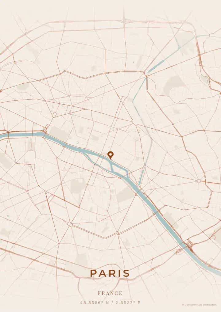
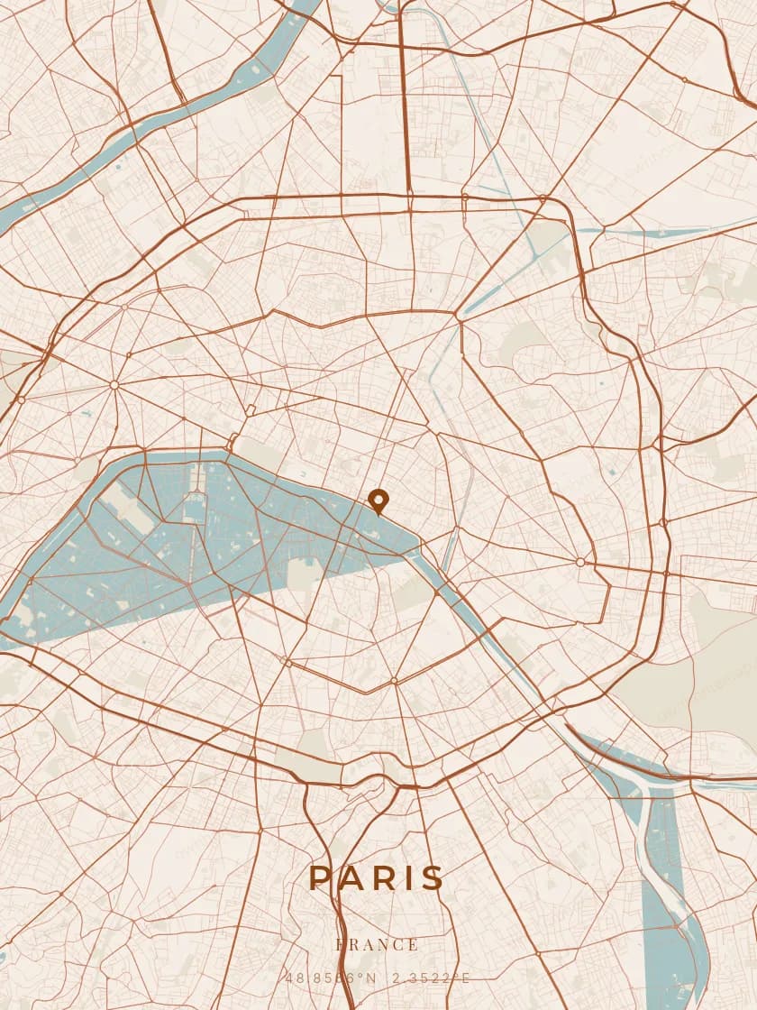
Personalized City Map Poster of Amsterdam
52.3676°N, 4.9041°E
Along the canals of Amsterdam, streets wind along the quiet waters lined with gabled houses. Gift a city map poster capturing the layout of the Venice of the North — a present as poetic as a spring evening at Vondelpark.
Famous Landmarks
Rijksmuseum
52.3676°N, 4.9041°E
The Rijksmuseum is the national museum of the Netherlands, founded in 1800 and housed since 1885 in a majestic neo-Gothic building on the Museumplein. It holds over 8,000 art and history objects, including Rembrandt's Night Watch. It is the most visited museum in the Netherlands with over 2 million visitors annually.
Anne Frank House
52.3676°N, 4.9041°E
The Anne Frank House at 263 Prinsengracht is the building where Anne Frank and her family hid for two years during the Nazi occupation. Converted into a museum in 1960, it preserves the secret annex and Anne's original diary. It is one of the most moving memorial sites in Europe.
Dam Square
52.3676°N, 4.9041°E
Dam Square is the historic heart of Amsterdam, home to the Royal Palace built in 1655 as the city hall. It also features the National Monument, a 22-metre obelisk erected in memory of World War II victims. It remains the city's main gathering point for events and celebrations.
Why gift a city map poster of Amsterdam?
Gifting a city map poster of Amsterdam means capturing the magic of a moment above the illuminated canals. Whether it was a first meeting along the Prinsengracht, an anniversary at Vondelpark, or a romantic boat ride at dusk, this poster immortalizes the exact streets of that moment. A gift as poetic as the golden lamplight reflecting on the canal waters.
The map of Amsterdam
At 52° north latitude, Amsterdam unfolds its famous concentric canal ring plan — Singel, Herengracht, Keizersgracht, and Prinsengracht — dating from the Golden Age. This unique semi-circular network creates an instantly recognisable map poster. Beyond the canal belt, the Jordaan district offers a maze of narrow lanes, while modern southern and eastern extensions add a geometric counterpoint.
Frequently asked questions
What does a Amsterdam city map poster show?
A Amsterdam city map poster uses the supported roads, water features, and green-space polygons returned for the selected area by the active map-data source. Coverage varies by place and source response, so review the generated preview before ordering. You can personalize the composition with a title, date, and coordinates.
What are the best themes for a Amsterdam poster?
OwnHomeMap offers several visual themes. Available examples for Amsterdam include Midnight Blue for a dark, elegant look, Terracotta for a warm palette, Blueprint for an architectural style, and Noir for a monochrome design. Preview the current themes in the design tool before purchasing.
How accurate is the Amsterdam map?
The poster uses the streets, parks, and waterways returned for Amsterdam by the active map-data source. Coverage and detail vary by location and source response, so review the generated preview before ordering.
Can I get a Amsterdam poster as a gift?
Yes, a Amsterdam city map poster makes a meaningful gift for anyone with a connection to the city — whether they were born there, got married, studied, or simply have cherished memories of Amsterdam. You can add a personal inscription, choose from multiple sizes, and select either a digital PNG file or a printed poster.
Create your city map poster of Amsterdam
From €12.00
Create my city map poster