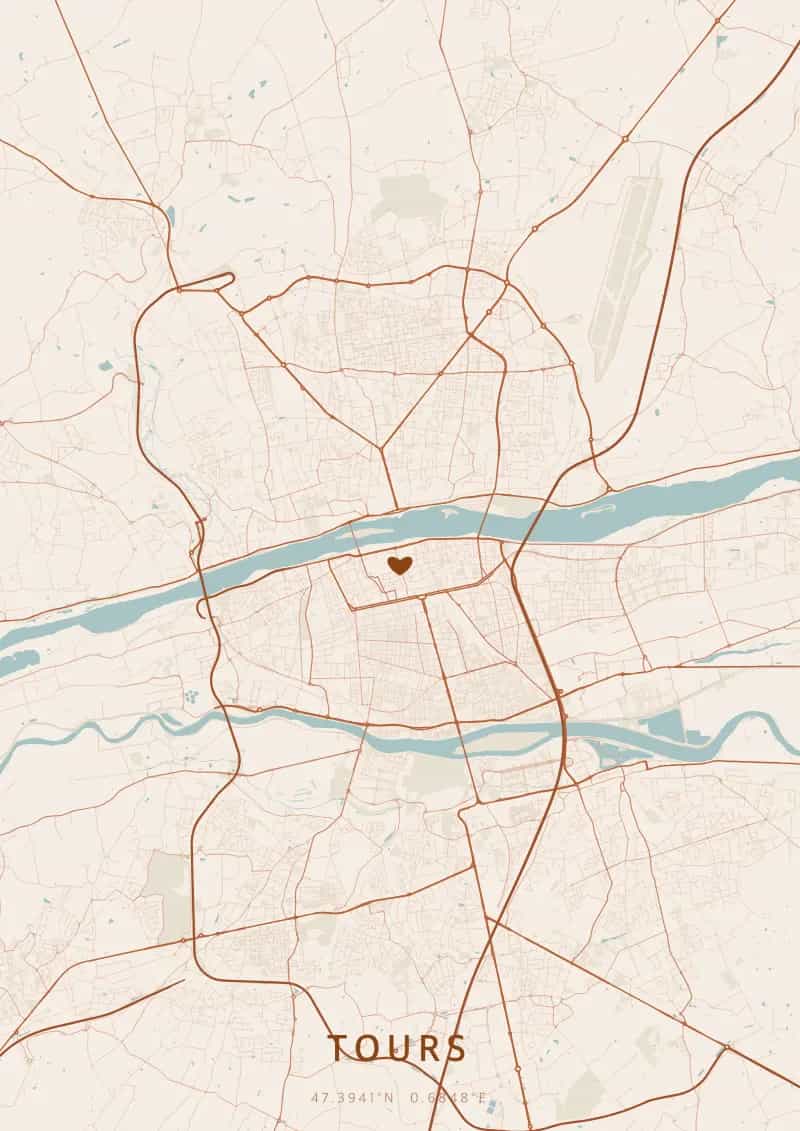
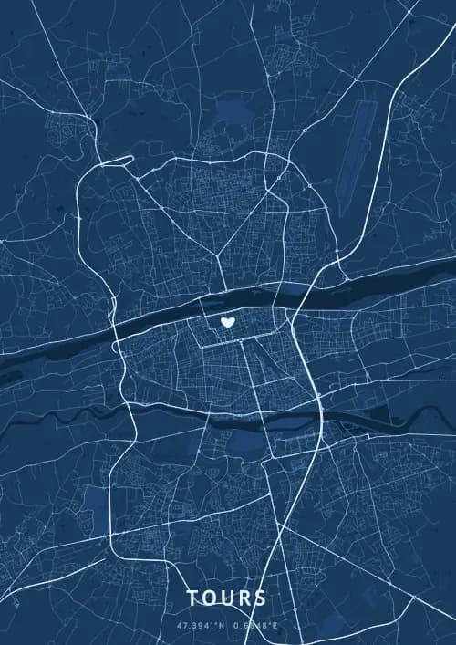
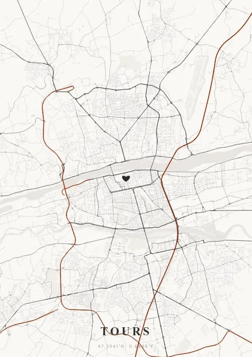
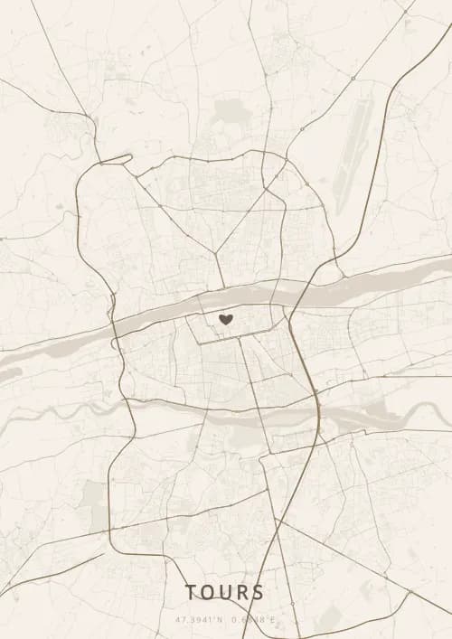
An OwnHomeMap city poster of Tours is a decorative rendering of the supported roads, water features, and green-space polygons returned for the selected area by the active map-data source. Coverage varies by place and source response, so the generated preview—not this page—is the record of what the design will contain. It is not a navigation or surveying map.
Report a map-data or preview issue
Personalized City Map Poster of Tours
47.3941°N, 0.6848°E
At the heart of the Garden of France, Tours reveals its map above the Loire and its Renaissance châteaux. Gift a Tours city map poster — a present as majestic as the châteaux of Chenonceau and Amboise beneath the Loire Valley plan.
Famous Landmarks
Saint-Gatien Cathedral
47.3941°N, 0.6848°E
Saint-Gatien Cathedral, built from the 12th to the 16th century, is an open-air book of Gothic architecture. Its Flamboyant facade, two towers of 68 and 69 meters, and 13th-century stained glass make it one of Touraine's jewels. The Psalette cloister, adjoining the cathedral, houses a library of medieval manuscripts.
Place Plumereau
47.3941°N, 0.6848°E
Place Plumereau is the festive heart of Old Tours, surrounded by 15th and 16th-century half-timbered houses. Its café and restaurant terraces make it one of the liveliest squares in France. This perfectly restored medieval gem embodies the Touraine art of living.
Château de Chenonceau
47.3941°N, 0.6848°E
The Château de Chenonceau, nicknamed 'the Ladies' Castle,' spans the Cher River with its unique 60-meter gallery. Built from 1514, it was embellished by Diane de Poitiers and Catherine de' Medici. The second most visited historic monument in France after Versailles, it is surrounded by perfectly symmetrical French formal gardens.
Why gift a city map poster of Tours?
Gifting a city map poster of Tours means celebrating a royal moment at the heart of the Loire Valley. Whether it was a wedding in a Loire château, a first meeting on Place Plumereau, or an anniversary by the Cher at Chenonceau, every Touraine memory deserves a unique city map poster. A gift as majestic as the châteaux of the Garden of France.
The map of Tours
At 47° north latitude in the heart of the Loire Valley, Tours stretches between the Loire and the Cher in a layout structured by these two parallel rivers. The straight 18th-century boulevards contrast with the narrow medieval lanes of Vieux-Tours. The perspective of the Wilson and wire bridges creates the elongated map typical of Loire cities.
Frequently asked questions
What does a Tours city map poster show?
A Tours city map poster uses the supported roads, water features, and green-space polygons returned for the selected area by the active map-data source. Coverage varies by place and source response, so review the generated preview before ordering. You can personalize the composition with a title, date, and coordinates.
What are the best themes for a Tours poster?
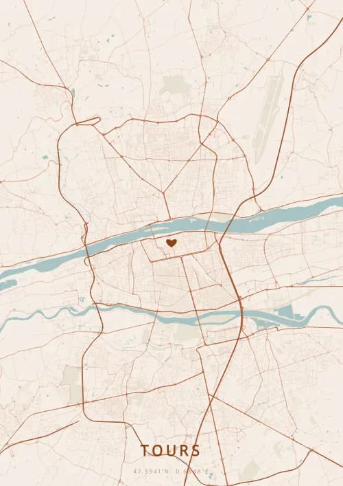
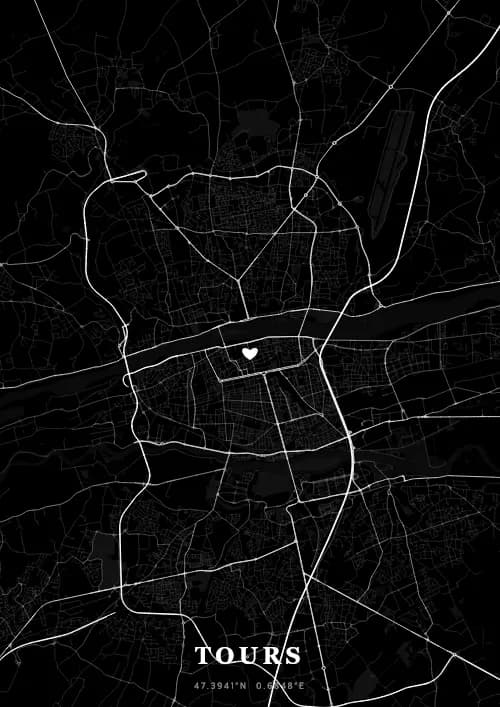
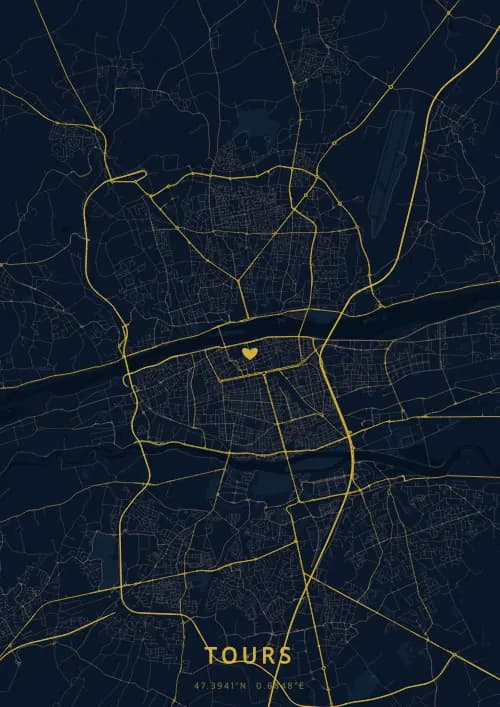
OwnHomeMap offers several visual themes. Available examples for Tours include Midnight Blue for a dark, elegant look, Terracotta for a warm palette, Blueprint for an architectural style, and Noir for a monochrome design. Preview the current themes in the design tool before purchasing.
How accurate is the Tours map?
The poster uses the streets, parks, and waterways returned for Tours by the active map-data source. Coverage and detail vary by location and source response, so review the generated preview before ordering.
Can I get a Tours poster as a gift?
Yes, a Tours city map poster makes a meaningful gift for anyone with a connection to the city — whether they were born there, got married, studied, or simply have cherished memories of Tours. You can add a personal inscription, choose from multiple sizes, and select either a digital PNG file or a printed poster.
Create your city map poster of Tours
From €12.00
Create my city map poster