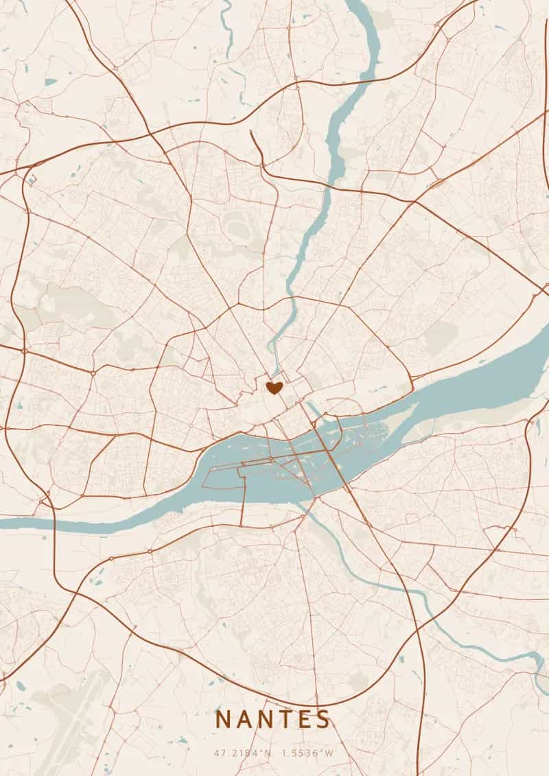
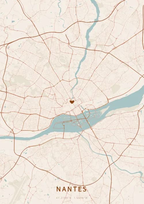
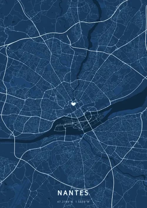
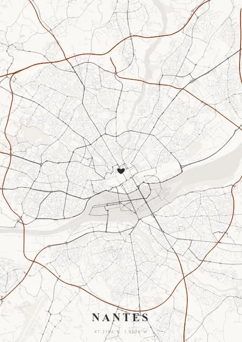
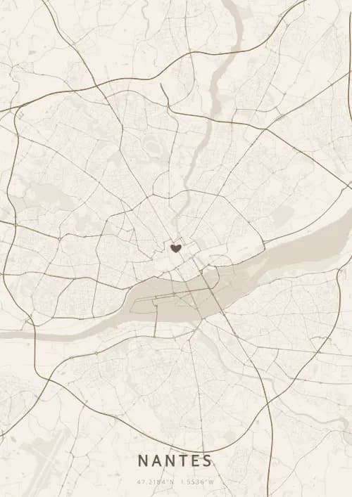
An OwnHomeMap city poster of Nantes is a decorative rendering of the supported roads, water features, and green-space polygons returned for the selected area by the active map-data source. Coverage varies by place and source response, so the generated preview—not this page—is the record of what the design will contain. It is not a navigation or surveying map.
Report a map-data or preview issue
Personalized City Map Poster of Nantes
47.2184°N, 1.5536°W
In Nantes, streets run through the Loire estuary and the wondrous Machines of the Isle. Gift a Nantes city map poster — a present as inventive and poetic as the city of the Dukes of Brittany.
Famous Landmarks
Castle of the Dukes of Brittany
47.2184°N, 1.5536°W
The Castle of the Dukes of Brittany, a medieval fortress reshaped during the Renaissance, houses the Nantes history museum spanning six centuries. Surrounded by moats and encircled by granite and tuffeau ramparts, it was the residence of the Dukes of Brittany and the site where the Edict of Nantes was signed in 1598.
Machines of the Isle
47.2184°N, 1.5536°W
The Machines of the Isle is a unique artistic project housed in the former Nantes shipyards. The 12-meter-tall Grand Elephant, inspired by the worlds of Jules Verne and Leonardo da Vinci, walks across the island carrying up to 50 passengers at a time.
Passage Pommeraye
47.2184°N, 1.5536°W
The Passage Pommeraye, a shopping arcade opened in 1843, is a neoclassical architectural gem spread across three levels linked by monumental sculpted staircases. Listed as a historic monument, this covered passage — unique in Europe for its change in elevation — offers a journey through time in the heart of Nantes.
Why gift a city map poster of Nantes?
Gifting a city map poster of Nantes means capturing the poetry of a moment by the Loire. Whether it was a birth on the Île de Nantes, an anniversary at the foot of the Grand Elephant, or a first encounter at the Passage Pommeraye, this poster immortalizes the streets that ran through the city of the Dukes. A gift as creative and poetic as Nantes itself.
The map of Nantes
Located at 47° north latitude near the Loire estuary, Nantes enjoys a temperate oceanic climate that has shaped its urban fabric. Its proximity to the Atlantic and the Loire estuary has drawn a distinctive street layout, where avenues link the historic quarters to the riverbanks.
Frequently asked questions
What does a Nantes city map poster show?
A Nantes city map poster uses the supported roads, water features, and green-space polygons returned for the selected area by the active map-data source. Coverage varies by place and source response, so review the generated preview before ordering. You can personalize the composition with a title, date, and coordinates.
What are the best themes for a Nantes poster?
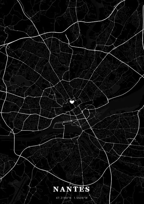
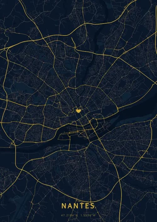
OwnHomeMap offers several visual themes. Available examples for Nantes include Midnight Blue for a dark, elegant look, Terracotta for a warm palette, Blueprint for an architectural style, and Noir for a monochrome design. Preview the current themes in the design tool before purchasing.
How accurate is the Nantes map?
The poster uses the streets, parks, and waterways returned for Nantes by the active map-data source. Coverage and detail vary by location and source response, so review the generated preview before ordering.
Can I get a Nantes poster as a gift?
Yes, a Nantes city map poster makes a meaningful gift for anyone with a connection to the city — whether they were born there, got married, studied, or simply have cherished memories of Nantes. You can add a personal inscription, choose from multiple sizes, and select either a digital PNG file or a printed poster.
Create your city map poster of Nantes
From €12.00
Create my city map poster