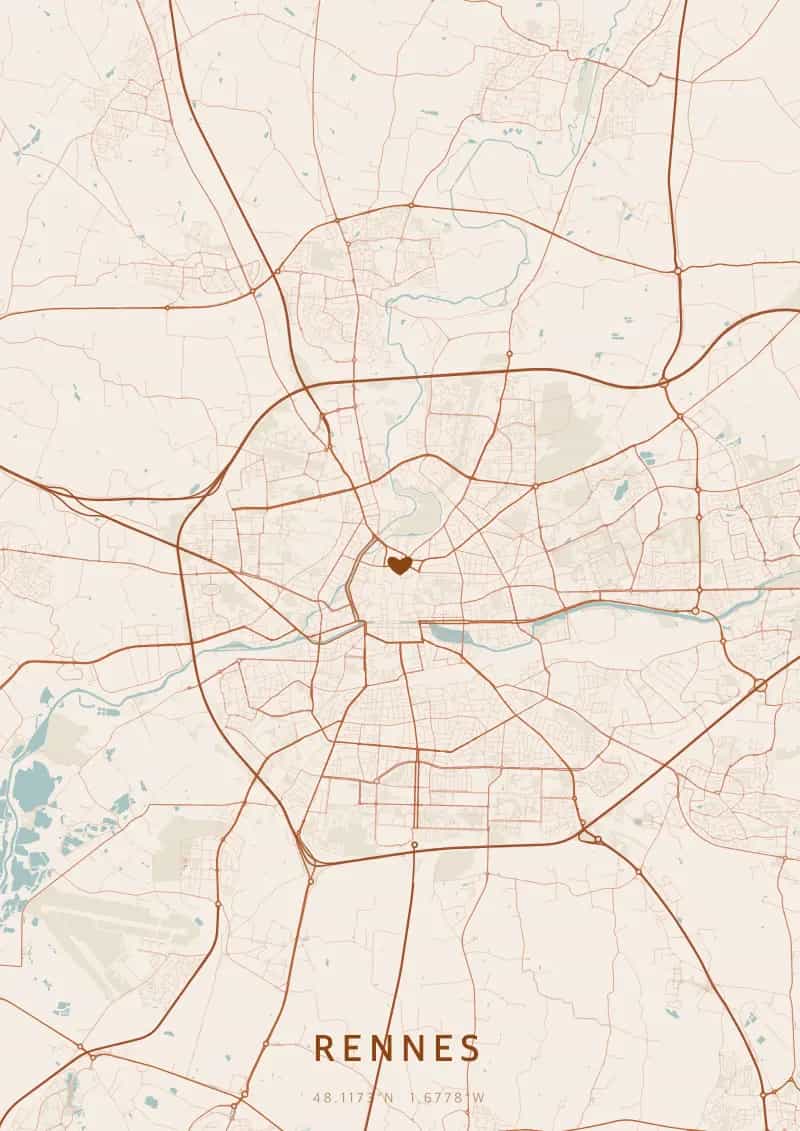
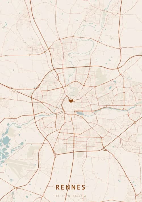
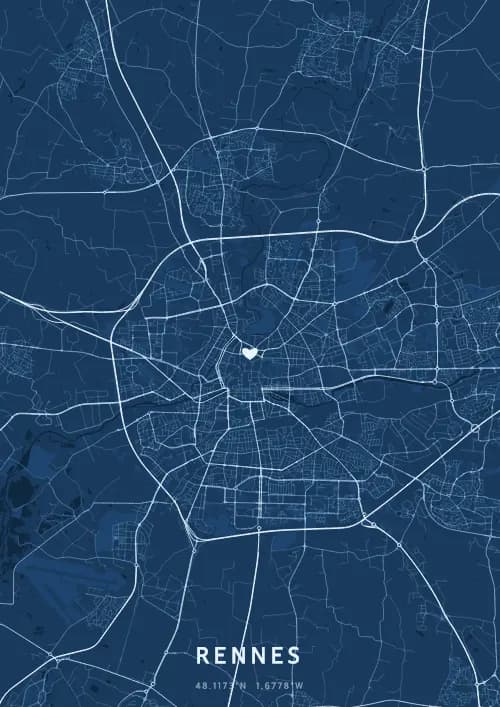
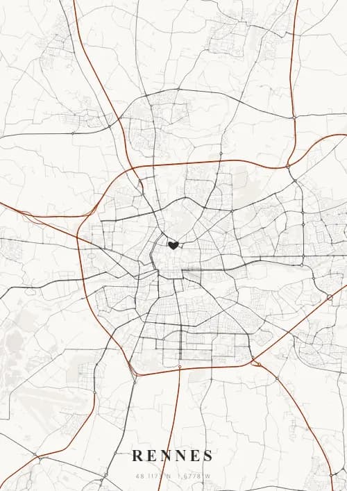
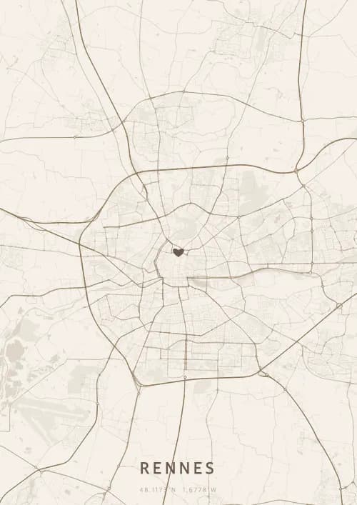
An OwnHomeMap city poster of Rennes is a decorative rendering of the supported roads, water features, and green-space polygons returned for the selected area by the active map-data source. Coverage varies by place and source response, so the generated preview—not this page—is the record of what the design will contain. It is not a navigation or surveying map.
Report a map-data or preview issue
Personalized City Map Poster of Rennes
48.1173°N, 1.6778°W
Capital of Brittany, Rennes reveals its map above the Parliament and the half-timbered houses of Place des Lices. Gift a Rennes city map poster — a present as lively as the medieval alleyways of this student city beneath the Breton sky.
Famous Landmarks
Parliament of Brittany
48.1173°N, 1.6778°W
The Parliament of Brittany, completed in 1655, is a masterpiece of French classical architecture now housing the Rennes Court of Appeal. Severely damaged by fire in 1994, it was restored over ten years, and its painted ceilings by Coypel and Errard rank among the most remarkable in France.
Place des Lices
48.1173°N, 1.6778°W
The Place des Lices hosts one of the largest markets in France every Saturday morning, with over 300 stalls. Lined with 17th-century half-timbered houses and granite mansions, this historic square was once the site of medieval jousting tournaments, which gave it its name.
Thabor Park
48.1173°N, 1.6778°W
Thabor Park covers 10 hectares in the heart of Rennes, combining a French formal garden, an English landscape garden, a rose garden, and a botanical garden. Created in the 19th century by landscape architect Denis Bühler on the former orchard of Saint-Melaine Abbey, it is considered one of the finest public gardens in western France.
Why gift a city map poster of Rennes?
Gifting a city map poster of Rennes means immortalizing a memory beneath the Breton sky. Whether it was a birth in the Breton capital, a first encounter at the Place des Lices market, or a wedding near the Parliament of Brittany, this poster captures the streets of that unique moment. A gift as lively and authentic as this student city with its medieval heritage.
The map of Rennes
Located at 48° north latitude, this city reveals a captivating urban fabric, with streets and squares reflecting its deep architectural heritage.
Frequently asked questions
What does a Rennes city map poster show?
A Rennes city map poster uses the supported roads, water features, and green-space polygons returned for the selected area by the active map-data source. Coverage varies by place and source response, so review the generated preview before ordering. You can personalize the composition with a title, date, and coordinates.
What are the best themes for a Rennes poster?
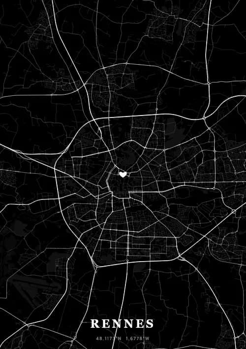
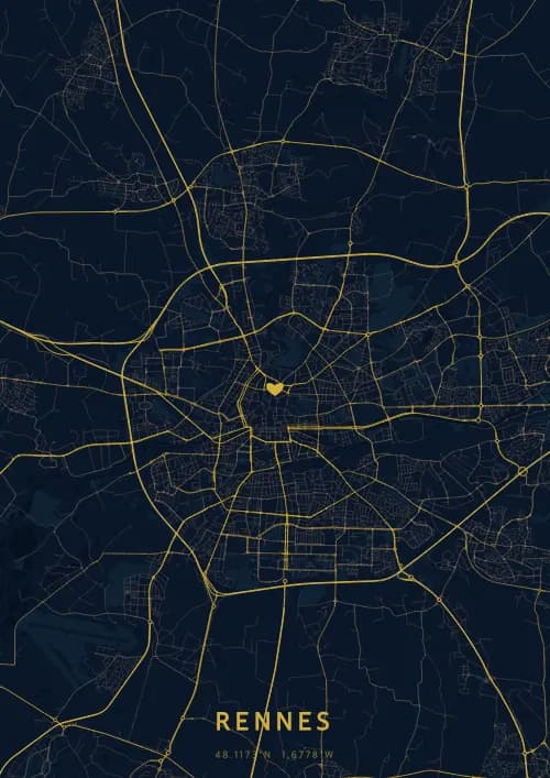
OwnHomeMap offers several visual themes. Available examples for Rennes include Midnight Blue for a dark, elegant look, Terracotta for a warm palette, Blueprint for an architectural style, and Noir for a monochrome design. Preview the current themes in the design tool before purchasing.
How accurate is the Rennes map?
The poster uses the streets, parks, and waterways returned for Rennes by the active map-data source. Coverage and detail vary by location and source response, so review the generated preview before ordering.
Can I get a Rennes poster as a gift?
Yes, a Rennes city map poster makes a meaningful gift for anyone with a connection to the city — whether they were born there, got married, studied, or simply have cherished memories of Rennes. You can add a personal inscription, choose from multiple sizes, and select either a digital PNG file or a printed poster.
Create your city map poster of Rennes
From €12.00
Create my city map poster