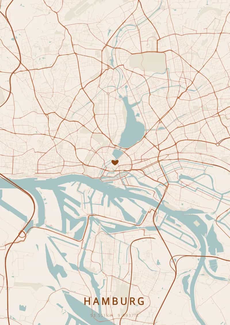
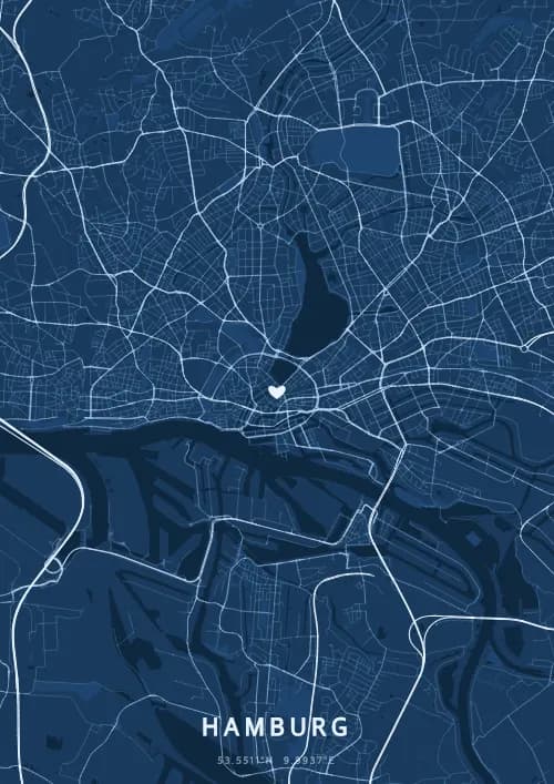
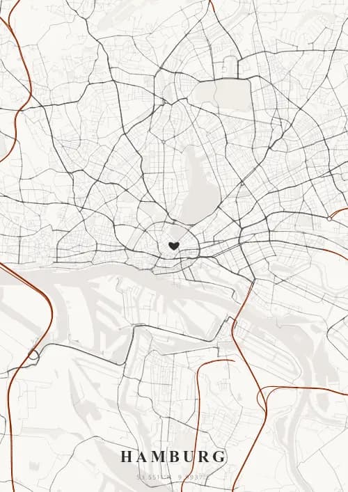
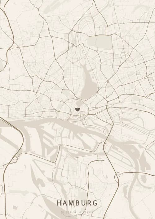
An OwnHomeMap city poster of Hamburg is a decorative rendering of the supported roads, water features, and green-space polygons returned for the selected area by the active map-data source. Coverage varies by place and source response, so the generated preview—not this page—is the record of what the design will contain. It is not a navigation or surveying map.
Report a map-data or preview issue
Personalized City Map Poster of Hamburg
53.5511°N, 9.9937°E
Along the Elbe, streets wind along the waters of Hamburg's harbour. Gift a city map poster capturing the layout of the Elbphilharmonie — a present as majestic as the Gateway to the World.
Famous Landmarks
Elbphilharmonie
53.5511°N, 9.9937°E
The Elbphilharmonie, opened in 2017, is a spectacular concert hall perched atop a former cocoa warehouse in Hamburg's harbour. Its undulating glass facade rises 110 metres and houses three concert halls plus a panoramic plaza offering 360-degree views over the city and the Elbe river.
Speicherstadt
53.5511°N, 9.9937°E
The Speicherstadt is the world's largest warehouse district built on timber-pile foundations, a UNESCO World Heritage Site since 2015. Its neo-Gothic red-brick buildings, constructed between 1885 and 1927, now house museums, offices, and the famous Miniatur Wunderland model railway exhibition.
St. Michael's Church
53.5511°N, 9.9937°E
St. Michael's Church, affectionately called 'Michel' by locals, has been Hamburg's symbol since the 18th century. Its 132-metre baroque tower, the tallest church tower in Germany, offers sweeping views over the port and once served as a landmark for sailors navigating the Elbe.
Why gift a city map poster of Hamburg?
Gifting a city map poster of Hamburg means capturing the brilliance of streets reflected in the Elbe and the Speicherstadt canals. Whether for a proposal on the Elbphilharmonie plaza or an anniversary by the Alster lake, this map immortalises a unique moment beneath the Hanseatic sky. A gift as timeless as the harbour that opened Hamburg to the world.
The map of Hamburg
At 53° north latitude, Hamburg unfolds a maritime city plan structured by the Elbe and its tributaries. The canal network of the Speicherstadt and HafenCity draws a waterway maze unique in Europe, while the Alster Lakes form a central basin around which residential districts radiate. The port, one of Europe's largest, stamps its industrial mark across the city's southern map.
Frequently asked questions
What does a Hamburg city map poster show?
A Hamburg city map poster uses the supported roads, water features, and green-space polygons returned for the selected area by the active map-data source. Coverage varies by place and source response, so review the generated preview before ordering. You can personalize the composition with a title, date, and coordinates.
What are the best themes for a Hamburg poster?
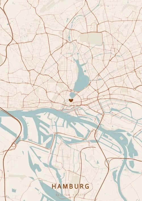
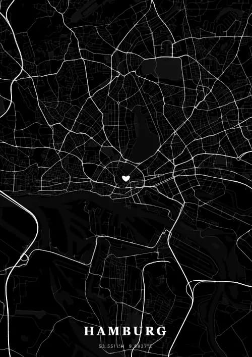
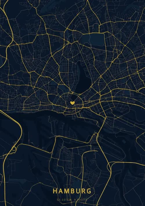
OwnHomeMap offers several visual themes. Available examples for Hamburg include Midnight Blue for a dark, elegant look, Terracotta for a warm palette, Blueprint for an architectural style, and Noir for a monochrome design. Preview the current themes in the design tool before purchasing.
How accurate is the Hamburg map?
The poster uses the streets, parks, and waterways returned for Hamburg by the active map-data source. Coverage and detail vary by location and source response, so review the generated preview before ordering.
Can I get a Hamburg poster as a gift?
Yes, a Hamburg city map poster makes a meaningful gift for anyone with a connection to the city — whether they were born there, got married, studied, or simply have cherished memories of Hamburg. You can add a personal inscription, choose from multiple sizes, and select either a digital PNG file or a printed poster.
Create your city map poster of Hamburg
From €12.00
Create my city map poster