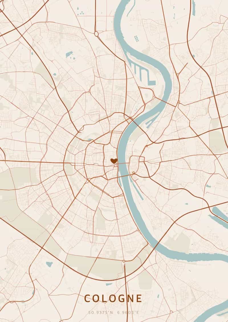
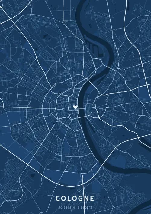
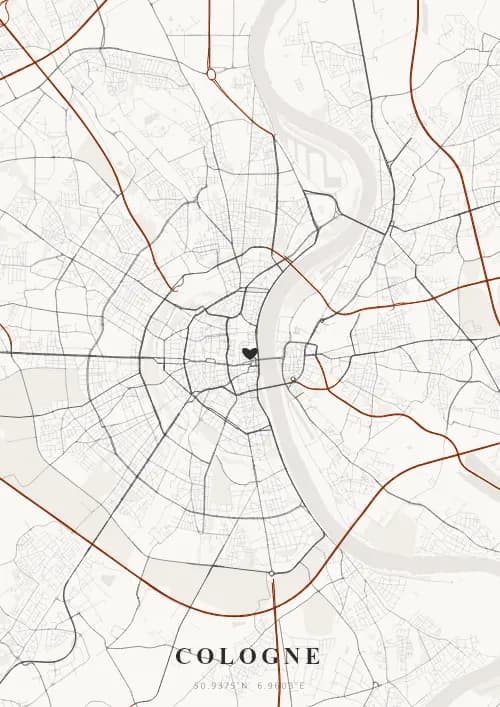
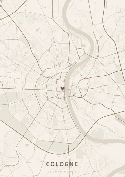
An OwnHomeMap city poster of Cologne is a decorative rendering of the supported roads, water features, and green-space polygons returned for the selected area by the active map-data source. Coverage varies by place and source response, so the generated preview—not this page—is the record of what the design will contain. It is not a navigation or surveying map.
Report a map-data or preview issue
Personalized City Map Poster of Cologne
50.9375°N, 6.9603°E
At the foot of the majestic Cathedral, the streets of Cologne radiate around the Rhine. Gift a city map poster capturing the street layout of this ancient city — a present as eternal as the spires of the Kölner Dom.
Famous Landmarks
Cologne Cathedral
50.9375°N, 6.9603°E
Cologne Cathedral, the Kölner Dom, is a Gothic masterpiece whose construction spanned from 1248 to 1880. Its twin 157-metre spires make it the tallest twin-spired church in the world. A UNESCO World Heritage Site, it houses the Shrine of the Three Kings and welcomes six million visitors annually.
Hohenzollern Bridge
50.9375°N, 6.9603°E
The Hohenzollern Bridge, built between 1907 and 1911, spans the Rhine with six railway tracks and a pedestrian walkway. Germany's busiest railway bridge with 1,200 trains daily, it is also famous for the thousands of love locks attached to its railings by couples from around the world.
Museum Ludwig
50.9375°N, 6.9603°E
The Museum Ludwig, opened in 1986, houses one of Europe's most important collections of modern and contemporary art. It holds the largest Pop Art collection outside the United States, featuring works by Warhol, Lichtenstein, and Rauschenberg, alongside a remarkable Picasso collection.
Why gift a city map poster of Cologne?
Gifting a city map poster of Cologne means immortalising the streets of a two-thousand-year-old city where the Cathedral spires nearly touch the rooftops. Whether celebrating a first meeting in the Altstadt or a proposal on the love-lock-laden Hohenzollern Bridge, this city map poster captures the magic of the Rhine flowing through the quartiers. A gift as eternal as the Cathedral itself.
The map of Cologne
At 51° north latitude, Cologne unfolds a captivating street plan around its northern quartiers. The Rhine valley creates a natural corridor that structures the city, with wide avenues radiating from the Cathedral through the surrounding districts.
Frequently asked questions
What does a Cologne city map poster show?
A Cologne city map poster uses the supported roads, water features, and green-space polygons returned for the selected area by the active map-data source. Coverage varies by place and source response, so review the generated preview before ordering. You can personalize the composition with a title, date, and coordinates.
What are the best themes for a Cologne poster?
OwnHomeMap offers several visual themes. Available examples for Cologne include Midnight Blue for a dark, elegant look, Terracotta for a warm palette, Blueprint for an architectural style, and Noir for a monochrome design. Preview the current themes in the design tool before purchasing.
How accurate is the Cologne map?
The poster uses the streets, parks, and waterways returned for Cologne by the active map-data source. Coverage and detail vary by location and source response, so review the generated preview before ordering.
Can I get a Cologne poster as a gift?
Yes, a Cologne city map poster makes a meaningful gift for anyone with a connection to the city — whether they were born there, got married, studied, or simply have cherished memories of Cologne. You can add a personal inscription, choose from multiple sizes, and select either a digital PNG file or a printed poster.
Create your city map poster of Cologne
From €12.00
Create my city map poster