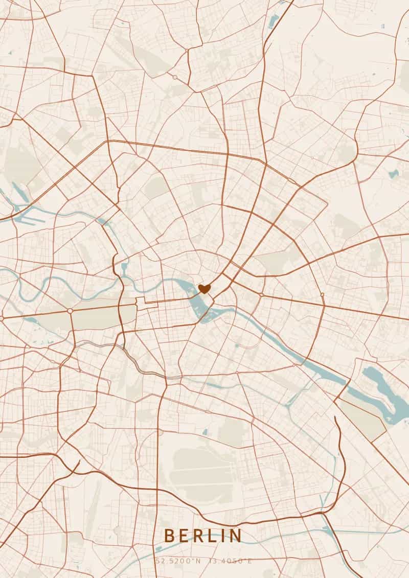
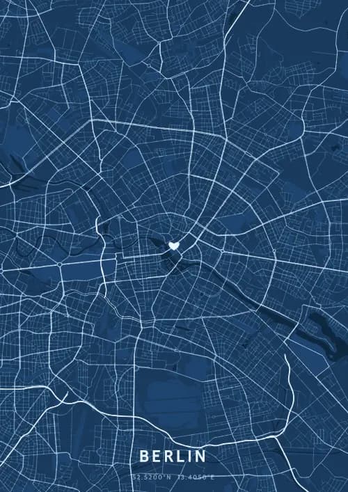
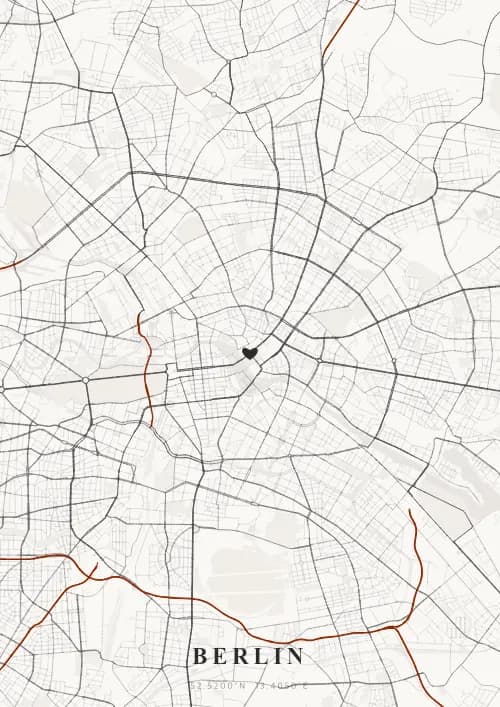
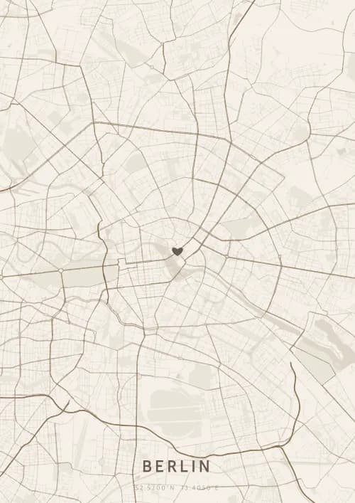
An OwnHomeMap city poster of Berlin is a decorative rendering of the supported roads, water features, and green-space polygons returned for the selected area by the active map-data source. Coverage varies by place and source response, so the generated preview—not this page—is the record of what the design will contain. It is not a navigation or surveying map.
Report a map-data or preview issue
Personalized City Map Poster of Berlin
52.5200°N, 13.4050°E
Capital of a thousand faces, Berlin unfurls its map above the Brandenburg Gate and the Spree. Gift a Berlin city map poster — a present as vibrant as the creative energy of this metropolis beneath the Prussian plan.
Famous Landmarks
Brandenburg Gate
52.5200°N, 13.4050°E
The Brandenburg Gate, completed in 1791 in the neoclassical style, is Berlin's most iconic symbol and a monument to German reunification. Standing 26 metres tall and crowned by the Quadriga of Victory, it once marked the city entrance and now stands on Pariser Platz at the heart of the capital.
TV Tower
52.5200°N, 13.4050°E
Berlin's TV Tower, built in 1969 by the GDR, reaches 368 metres and remains Germany's tallest structure. Its observation sphere at 203 metres offers panoramic views across the entire city. On sunny days, a cross-shaped reflection appears on the sphere, nicknamed 'the Pope's revenge' by West Berliners.
Museum Island
52.5200°N, 13.4050°E
Museum Island, a UNESCO World Heritage Site, brings together five world-renowned museums on an island in the Spree. From the Pergamon Museum with its Ishtar Gate to the Alte Nationalgalerie, this unique ensemble spans 6,000 years of art and human history in the heart of Berlin.
Why gift a city map poster of Berlin?
Gifting a city map poster of Berlin means immortalising the streets around a capital where every stone tells a story. Whether celebrating a first meeting near the Oberbaumbrücke or a wedding beneath the Brandenburg Gate, this map captures the Berlin streets in all their splendour. A gift as vibrant as the creative energy of this metropolis beneath the Prussian quartiers.
The map of Berlin
At 52° north latitude, Berlin has a unique polycentric city plan, a legacy of the reunification of two distinct cities. The Spree winds through the capital, linking Museum Island to the government quarter. Vast green spaces like the Tiergarten and Tempelhofer Feld, a former airport turned park, create remarkable voids on the map. Wide boulevards like Unter den Linden contrast with the dense fabric of Kreuzberg.
Frequently asked questions
What does a Berlin city map poster show?
A Berlin city map poster uses the supported roads, water features, and green-space polygons returned for the selected area by the active map-data source. Coverage varies by place and source response, so review the generated preview before ordering. You can personalize the composition with a title, date, and coordinates.
What are the best themes for a Berlin poster?
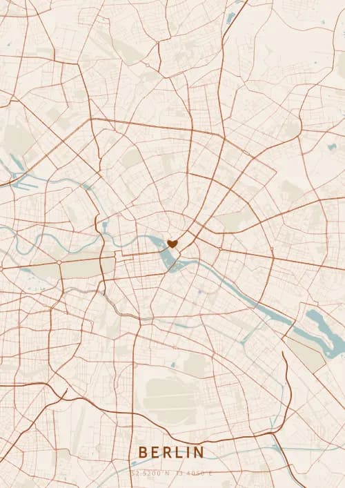
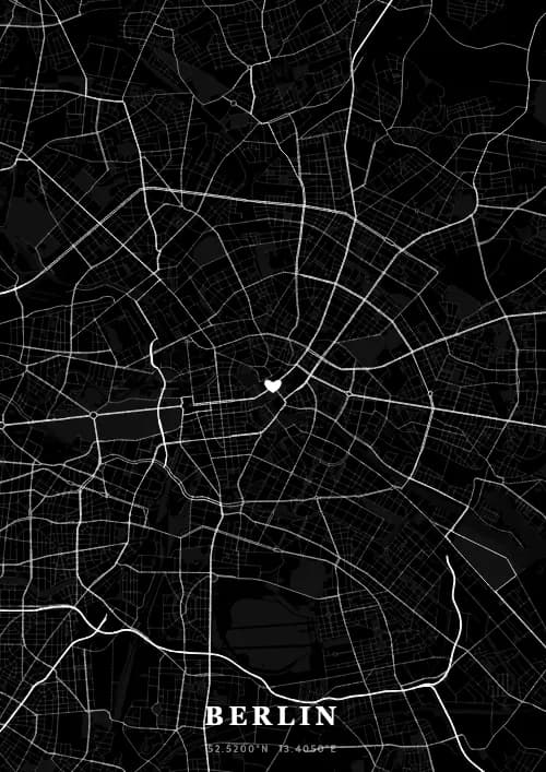
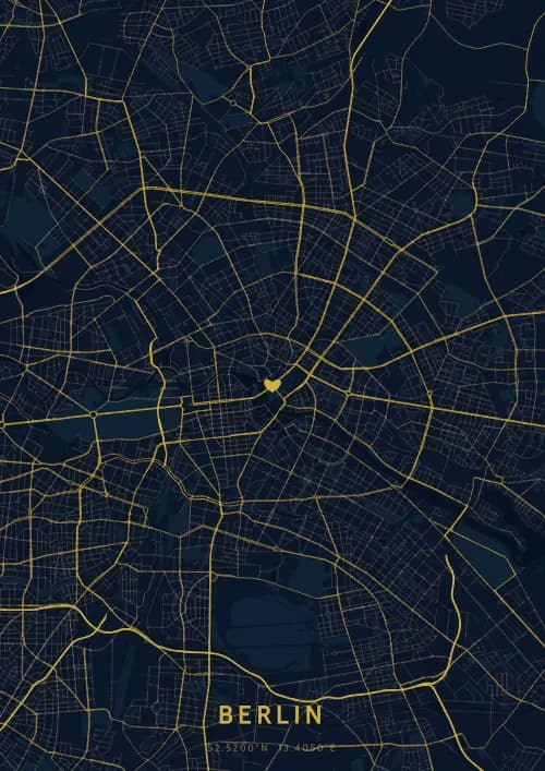
OwnHomeMap offers several visual themes. Available examples for Berlin include Midnight Blue for a dark, elegant look, Terracotta for a warm palette, Blueprint for an architectural style, and Noir for a monochrome design. Preview the current themes in the design tool before purchasing.
How accurate is the Berlin map?
The poster uses the streets, parks, and waterways returned for Berlin by the active map-data source. Coverage and detail vary by location and source response, so review the generated preview before ordering.
Can I get a Berlin poster as a gift?
Yes, a Berlin city map poster makes a meaningful gift for anyone with a connection to the city — whether they were born there, got married, studied, or simply have cherished memories of Berlin. You can add a personal inscription, choose from multiple sizes, and select either a digital PNG file or a printed poster.
Create your city map poster of Berlin
From €12.00
Create my city map poster