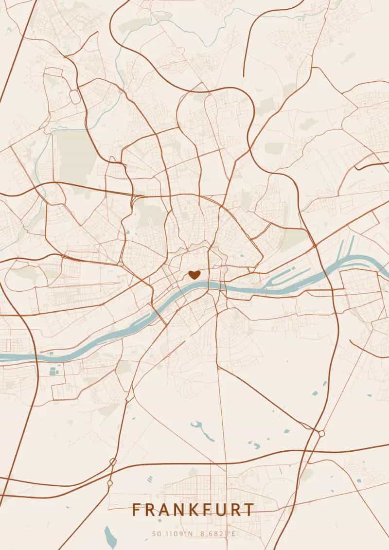
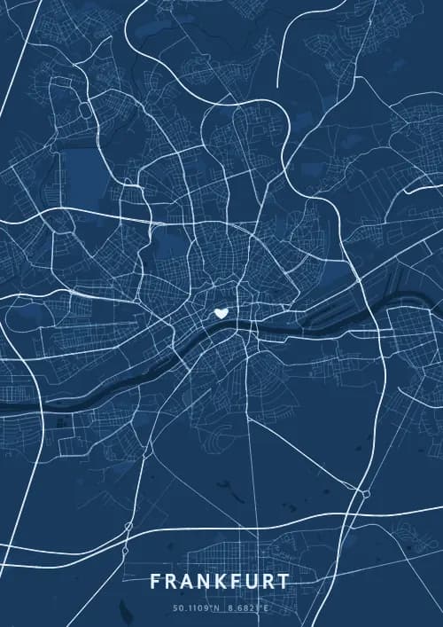
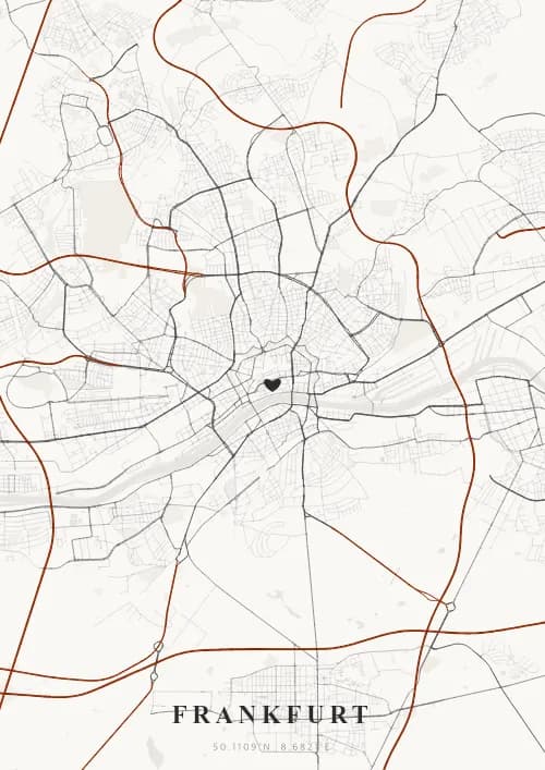
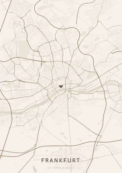
An OwnHomeMap city poster of Frankfurt is a decorative rendering of the supported roads, water features, and green-space polygons returned for the selected area by the active map-data source. Coverage varies by place and source response, so the generated preview—not this page—is the record of what the design will contain. It is not a navigation or surveying map.
Report a map-data or preview issue
Personalized City Map Poster of Frankfurt
50.1109°N, 8.6821°E
Between the skyscrapers and the banks of the Main, the streets of Frankfurt paint a unique spectacle. Gift a city map poster capturing the plan of the Römerberg — a present blending modernity and romance.
Famous Landmarks
Römerberg
50.1109°N, 8.6821°E
The Römerberg is the medieval square at Frankfurt's heart, dominated by the Römer, the historic city hall in use since 1405. Its reconstructed stepped-gable facades, rebuilt after the 1944 bombings, embody the city's identity. The square has hosted Frankfurt's famous Christmas market since the 14th century.
Old Opera House
50.1109°N, 8.6821°E
The Alte Oper, inaugurated in 1880 and rebuilt after its 1944 destruction, is one of Europe's most prestigious concert venues. Its neo-Renaissance sandstone facade recalls the Palais Garnier in Paris. Now a concert and congress hall, it hosts over 300 events annually on its legendary stage.
Main Tower
50.1109°N, 8.6821°E
The Main Tower, completed in 1999, rises 200 metres and is the only Frankfurt skyscraper with a public observation platform. Its panoramic terrace offers spectacular views of the 'Mainhattan' skyline, the financial district, the old town, and the Taunus hills on the horizon.
Why gift a city map poster of Frankfurt?
Gifting a city map poster of Frankfurt means uniting the romance of the medieval Römerberg with the glitter of the modern skyline. Whether for an anniversary along the Main or a first meeting on the Eiserner Steg, this map immortalises the moment where skyscrapers and streets converge. A gift reflecting both faces of Frankfurt — tradition and innovation.
The map of Frankfurt
At 50° north latitude, Frankfurt offers a good balance between its northern quartiers and the streets stretching to the south. The Main valley creates an open corridor to the south, while the Taunus hills to the northwest frame the city's western edge.
Frequently asked questions
What does a Frankfurt city map poster show?
A Frankfurt city map poster uses the supported roads, water features, and green-space polygons returned for the selected area by the active map-data source. Coverage varies by place and source response, so review the generated preview before ordering. You can personalize the composition with a title, date, and coordinates.
What are the best themes for a Frankfurt poster?
OwnHomeMap offers several visual themes. Available examples for Frankfurt include Midnight Blue for a dark, elegant look, Terracotta for a warm palette, Blueprint for an architectural style, and Noir for a monochrome design. Preview the current themes in the design tool before purchasing.
How accurate is the Frankfurt map?
The poster uses the streets, parks, and waterways returned for Frankfurt by the active map-data source. Coverage and detail vary by location and source response, so review the generated preview before ordering.
Can I get a Frankfurt poster as a gift?
Yes, a Frankfurt city map poster makes a meaningful gift for anyone with a connection to the city — whether they were born there, got married, studied, or simply have cherished memories of Frankfurt. You can add a personal inscription, choose from multiple sizes, and select either a digital PNG file or a printed poster.
Create your city map poster of Frankfurt
From €12.00
Create my city map poster