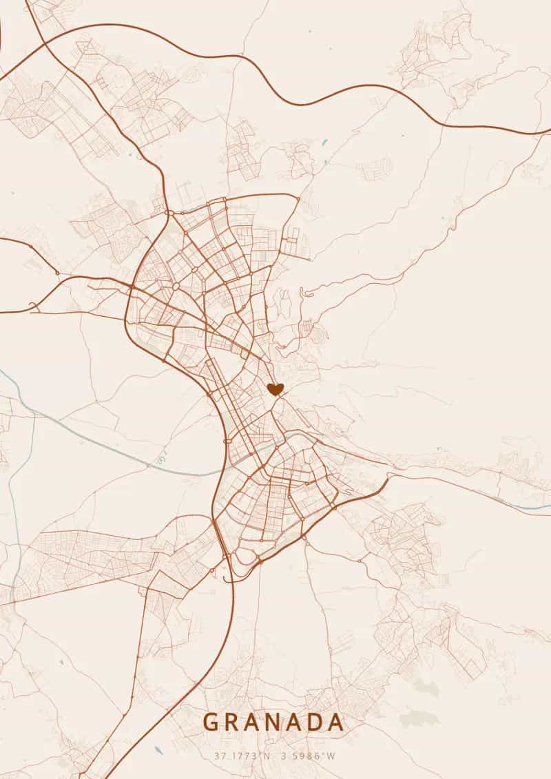
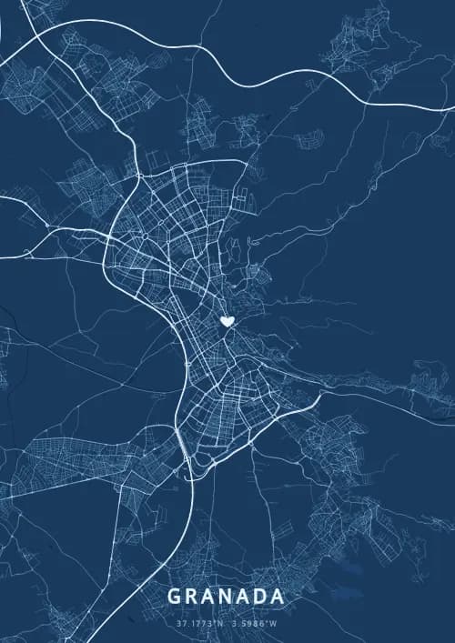
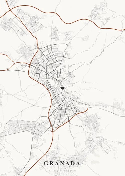
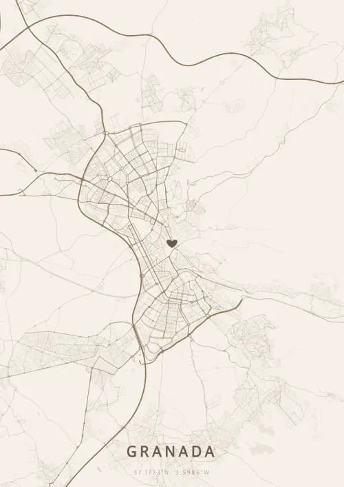
An OwnHomeMap city poster of Granada is a decorative rendering of the supported roads, water features, and green-space polygons returned for the selected area by the active map-data source. Coverage varies by place and source response, so the generated preview—not this page—is the record of what the design will contain. It is not a navigation or surveying map.
Report a map-data or preview issue
Personalized City Map Poster of Granada
37.1773°N, 3.5986°W
At the foot of the Sierra Nevada, the streets of Granada settle upon the Alhambra gardens and the alleyways of the Albaicín. Gift a Granada city map poster — a present as enchanting as the murmur of Nasrid fountains beneath the layout of Andalusian streets.
Famous Landmarks
Alhambra
37.1773°N, 3.5986°W
The Alhambra is a 13th-century Nasrid palace-fortress perched on the Sabika hill. A UNESCO World Heritage Site, it dazzles with its arabesque-adorned patios, water features and muqarnas carved in stucco.
Generalife
37.1773°N, 3.5986°W
The Generalife is the summer villa of the Nasrid sultans, adjacent to the Alhambra. Its gardens, among the oldest surviving Moorish gardens, enchant with their fountains, centuries-old cypresses and rose beds overlooking the Darro valley.
Granada Cathedral
37.1773°N, 3.5986°W
Granada Cathedral, built between 1523 and 1704, is one of the finest examples of Spanish Renaissance architecture. Its Royal Chapel houses the tombs of the Catholic Monarchs, Isabella and Ferdinand, architects of the Reconquista.
Why gift a city map poster of Granada?
Gifting a city map poster of Granada means capturing the magic of a moment at the foot of the Sierra Nevada, under the same sky that illuminates the Alhambra and the Albaicín. Perfect for a proposal at the Mirador de San Nicolás or an anniversary along the Paseo de los Tristes, every street whispers a Nasrid legend.
The map of Granada
At 37.2° north latitude and backed by the Sierra Nevada peaking at 3,479 metres, Granada unfolds a city plan shaped by centuries of Moorish and Christian coexistence. The labyrinthine alleys of the Albaicin, inherited from the Nasrid period, contrast with the Renaissance grid of the lower city. The Darro and Genil rivers trace sinuous lines at the foot of the Alhambra, creating a map of exceptional topographic richness.
Frequently asked questions
What does a Granada city map poster show?
A Granada city map poster uses the supported roads, water features, and green-space polygons returned for the selected area by the active map-data source. Coverage varies by place and source response, so review the generated preview before ordering. You can personalize the composition with a title, date, and coordinates.
What are the best themes for a Granada poster?
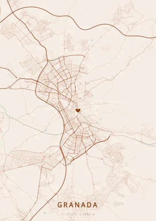
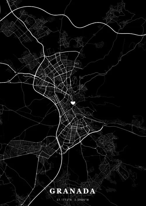
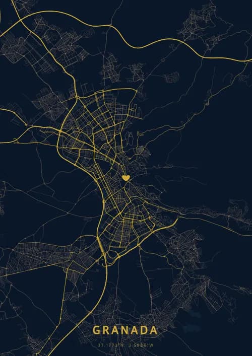
OwnHomeMap offers several visual themes. Available examples for Granada include Midnight Blue for a dark, elegant look, Terracotta for a warm palette, Blueprint for an architectural style, and Noir for a monochrome design. Preview the current themes in the design tool before purchasing.
How accurate is the Granada map?
The poster uses the streets, parks, and waterways returned for Granada by the active map-data source. Coverage and detail vary by location and source response, so review the generated preview before ordering.
Can I get a Granada poster as a gift?
Yes, a Granada city map poster makes a meaningful gift for anyone with a connection to the city — whether they were born there, got married, studied, or simply have cherished memories of Granada. You can add a personal inscription, choose from multiple sizes, and select either a digital PNG file or a printed poster.
Create your city map poster of Granada
From €12.00
Create my city map poster