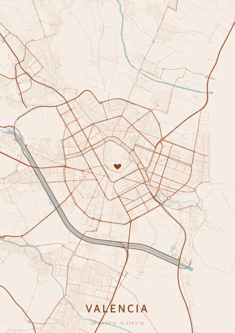
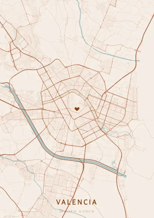
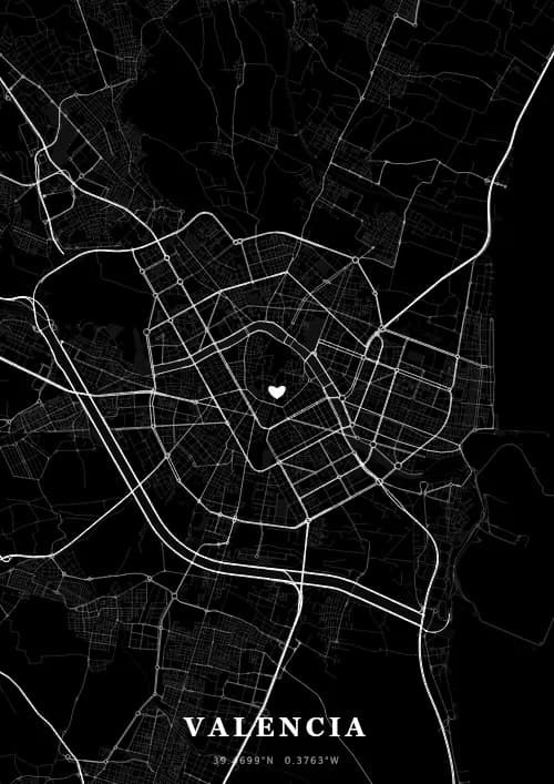
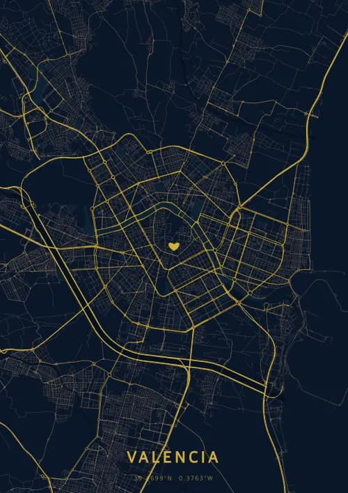
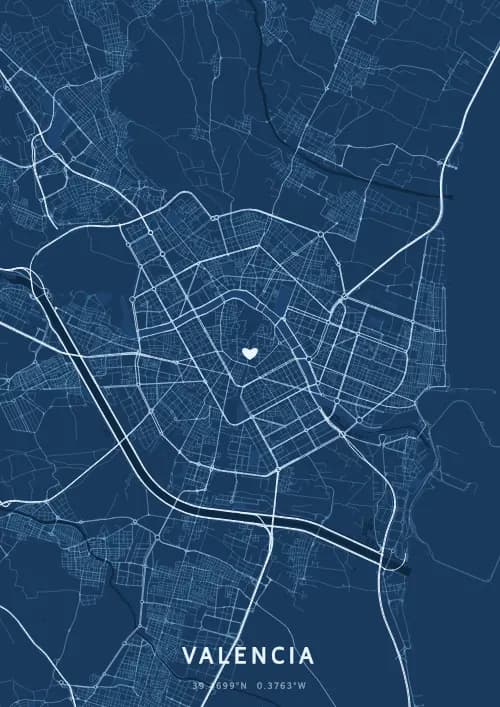
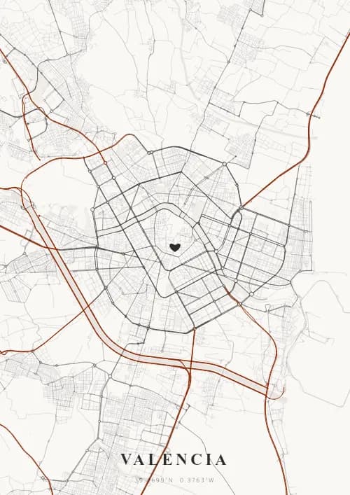
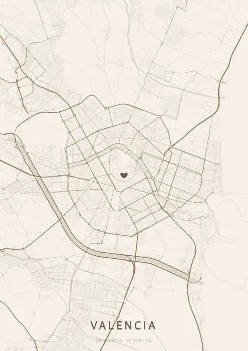
An OwnHomeMap city poster of Valencia is a decorative rendering of the supported roads, water features, and green-space polygons returned for the selected area by the active map-data source. Coverage varies by place and source response, so the generated preview—not this page—is the record of what the design will contain. It is not a navigation or surveying map.
Report a map-data or preview issue
Personalized City Map Poster of Valencia
39.4699°N, 0.3763°W
Between the futuristic forms of the City of Arts and the Mediterranean breeze, the streets of Valencia paint a unique spectacle. Gift a city map poster capturing Valencia's streets — a present as luminous as the Oceanogràfic through the streets.
Famous Landmarks
City of Arts and Sciences
39.4699°N, 0.3763°W
The City of Arts and Sciences is a futuristic complex designed by Santiago Calatrava and Félix Candela. Opened between 1998 and 2005, it includes the Oceanogràfic, Europe's largest aquarium, a planetarium and an interactive science museum.
Valencia Cathedral
39.4699°N, 0.3763°W
Valencia Cathedral, built between the 13th and 15th centuries, blends Romanesque, Gothic and Baroque styles. It is renowned for housing the Holy Chalice, considered by the Catholic Church to be the true Grail used at the Last Supper.
La Lonja de la Seda
39.4699°N, 0.3763°W
La Lonja de la Seda, completed in 1498, is a masterpiece of Valencian civil Gothic architecture and a UNESCO World Heritage Site. Its impressive hall of helical columns reflects Valencia's commercial prosperity during the Renaissance.
Why gift a city map poster of Valencia?
Gifting a city map poster of Valencia means capturing a moment under the Mediterranean sky that bathes the City of Arts and the Turia gardens. Perfect for celebrating a birth, a first date on Malvarrosa beach or an anniversary at sunset, every street shines with Valencian light.
The map of Valencia
At 39.5° north latitude on the Mediterranean coast, Valencia has a city plan transformed by the diversion of the Turia River. The former riverbed, converted into 9 km of linear gardens, crosses the city as a green artery linking the medieval centre to Calatrava's City of Arts and Sciences. The Carmen quarter's Moorish lanes contrast with the orthogonal grid of the Eixample.
Frequently asked questions
What does a Valencia city map poster show?
A Valencia city map poster uses the supported roads, water features, and green-space polygons returned for the selected area by the active map-data source. Coverage varies by place and source response, so review the generated preview before ordering. You can personalize the composition with a title, date, and coordinates.
What are the best themes for a Valencia poster?
OwnHomeMap offers several visual themes. Available examples for Valencia include Midnight Blue for a dark, elegant look, Terracotta for a warm palette, Blueprint for an architectural style, and Noir for a monochrome design. Preview the current themes in the design tool before purchasing.
How accurate is the Valencia map?
The poster uses the streets, parks, and waterways returned for Valencia by the active map-data source. Coverage and detail vary by location and source response, so review the generated preview before ordering.
Can I get a Valencia poster as a gift?
Yes, a Valencia city map poster makes a meaningful gift for anyone with a connection to the city — whether they were born there, got married, studied, or simply have cherished memories of Valencia. You can add a personal inscription, choose from multiple sizes, and select either a digital PNG file or a printed poster.
Create your city map poster of Valencia
From €12.00
Create my city map poster