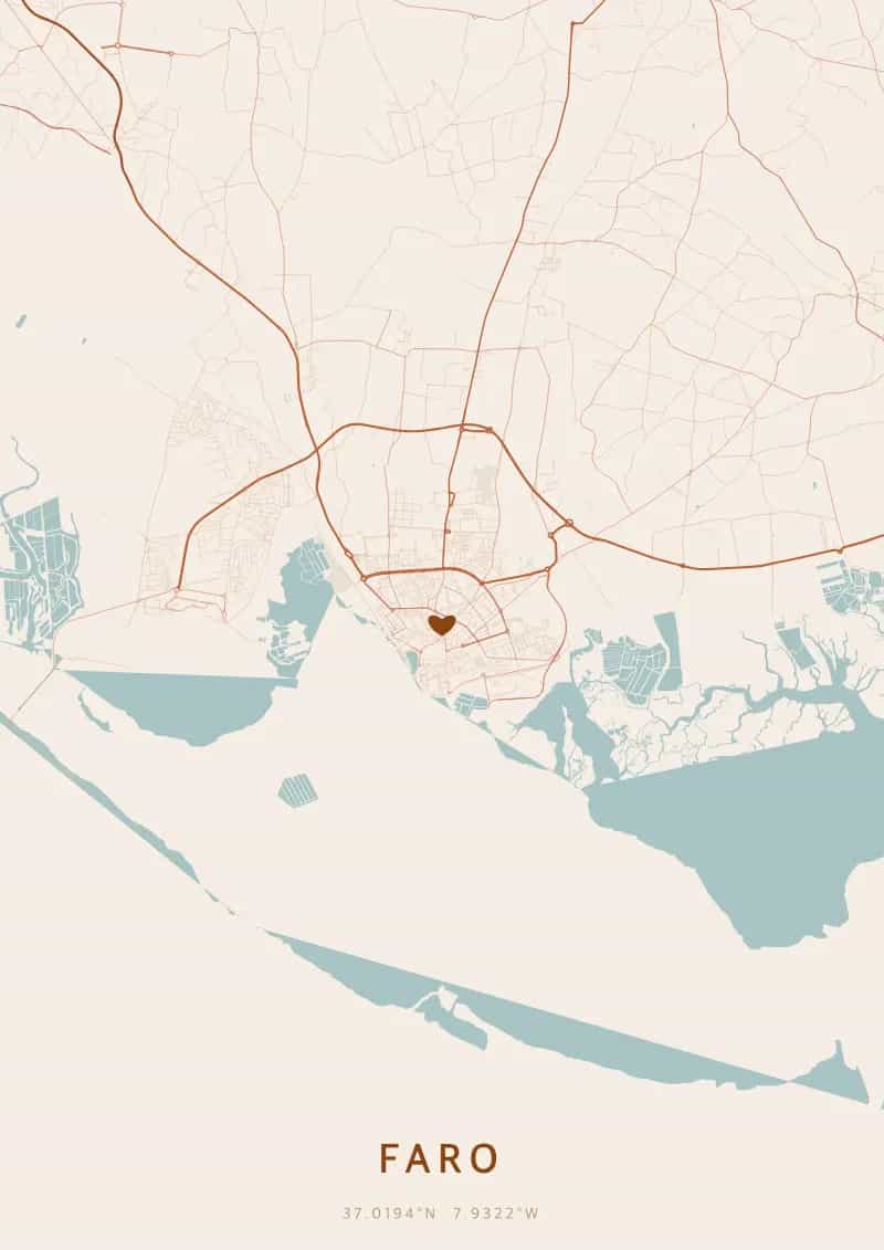
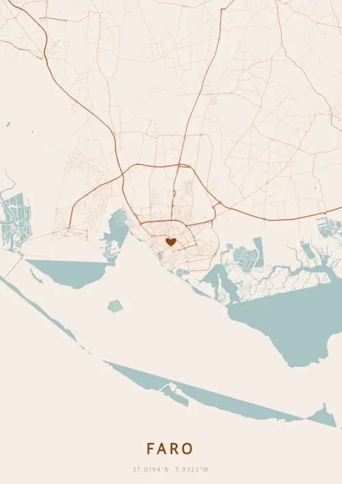
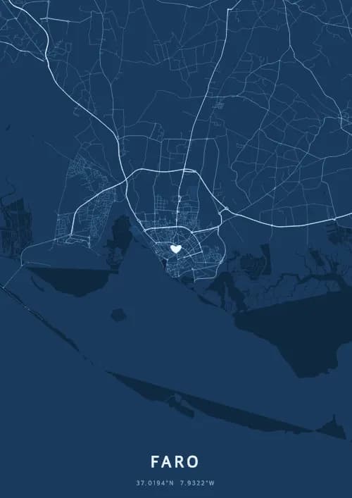
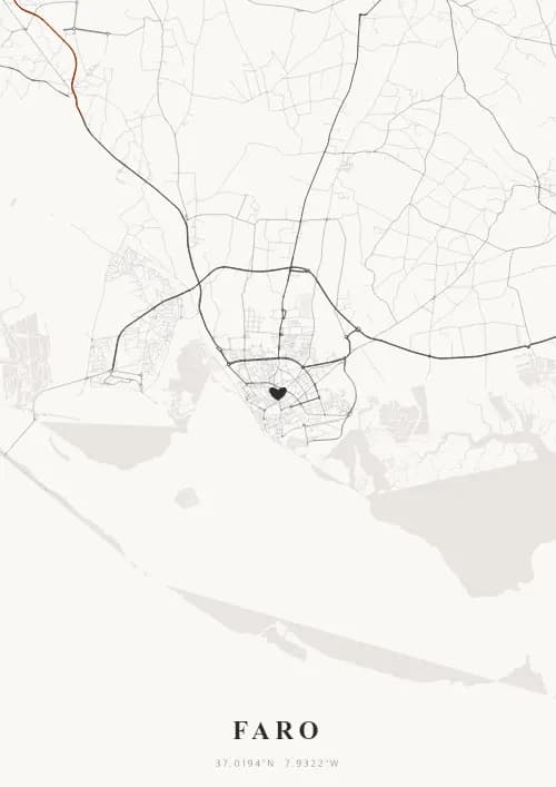
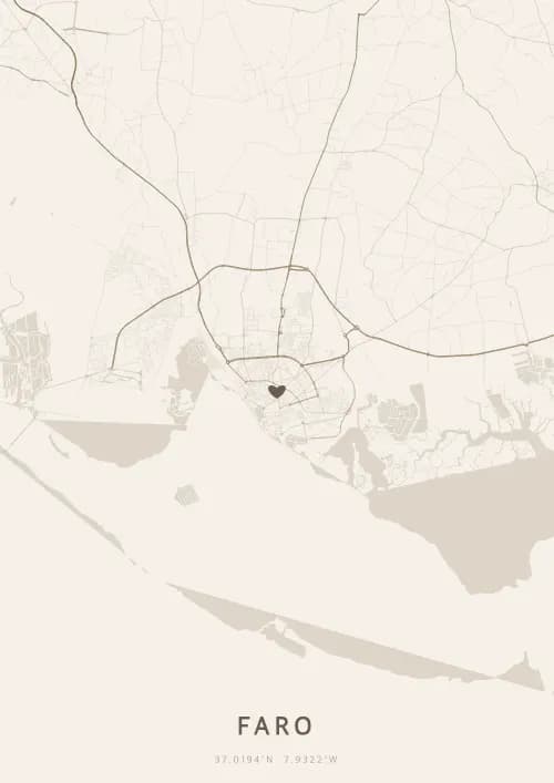
An OwnHomeMap city poster of Faro is a decorative rendering of the supported roads, water features, and green-space polygons returned for the selected area by the active map-data source. Coverage varies by place and source response, so the generated preview—not this page—is the record of what the design will contain. It is not a navigation or surveying map.
Report a map-data or preview issue
Personalized City Map Poster of Faro
37.0194°N, 7.9322°W
Gateway to the Algarve, Faro reveals a city map poster of rare purity above its protected lagoon and golden cliffs. Gift a Algarve city map poster — a present as radiant as the Portuguese sun over the Ria Formosa.
Famous Landmarks
Faro Old Town
37.0194°N, 7.9322°W
Faro's Old Town, enclosed by medieval walls, is entered through the Arco da Vila, a 19th-century neoclassical gate. Its cobbled lanes shelter the Sé Cathedral, built in the 13th century on the foundations of a former mosque. From the cathedral tower's summit, one can see the Ria Formosa and the Atlantic.
Ria Formosa
37.0194°N, 7.9322°W
The Ria Formosa is a protected natural park of 18,000 hectares comprising lagoons, salt marshes, and barrier islands along 60 km of coastline. This sanctuary is home to over 20,000 migratory birds and rare species such as the Mediterranean chameleon. It is one of the most important coastal ecosystems in southern Europe.
Igreja do Carmo
37.0194°N, 7.9322°W
The Igreja do Carmo, built in the 18th century, is famous for its Capela dos Ossos (Chapel of Bones), whose walls and ceiling are covered with skulls and bones of over 1,000 Carmelite monks. Its gilded Baroque facade contrasts with the austere interior of the chapel. It is one of the Algarve's most visited sites.
Why gift a city map poster of Faro?
Gifting a city map poster of Faro means capturing the layout of an Algarve city among the most luminous in Europe. From the deserted beaches of the Ria Formosa to illuminated streets above the golden cliffs, Faro offers an idyllic setting. An Algarve city map poster immortalizes the magic of a getaway beneath Portugal's purest sky.
The map of Faro
At 37° north latitude, Faro is mainland Portugal's southernmost city, unfolding a fascinating urban layout of medieval walls and whitewashed lanes. Its Old Town and the Ria Formosa lagoon frame streets rarely found elsewhere in Europe.
Frequently asked questions
What does a Faro city map poster show?
A Faro city map poster uses the supported roads, water features, and green-space polygons returned for the selected area by the active map-data source. Coverage varies by place and source response, so review the generated preview before ordering. You can personalize the composition with a title, date, and coordinates.
What are the best themes for a Faro poster?
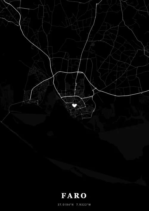
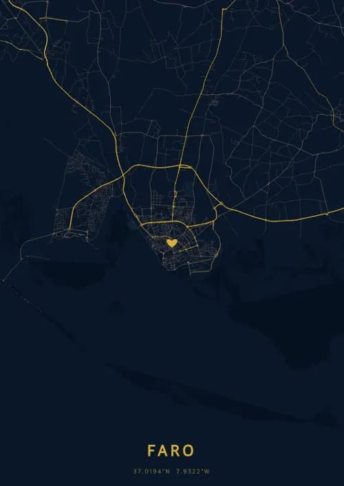
OwnHomeMap offers several visual themes. Available examples for Faro include Midnight Blue for a dark, elegant look, Terracotta for a warm palette, Blueprint for an architectural style, and Noir for a monochrome design. Preview the current themes in the design tool before purchasing.
How accurate is the Faro map?
The poster uses the streets, parks, and waterways returned for Faro by the active map-data source. Coverage and detail vary by location and source response, so review the generated preview before ordering.
Can I get a Faro poster as a gift?
Yes, a Faro city map poster makes a meaningful gift for anyone with a connection to the city — whether they were born there, got married, studied, or simply have cherished memories of Faro. You can add a personal inscription, choose from multiple sizes, and select either a digital PNG file or a printed poster.
Create your city map poster of Faro
From €12.00
Create my city map poster