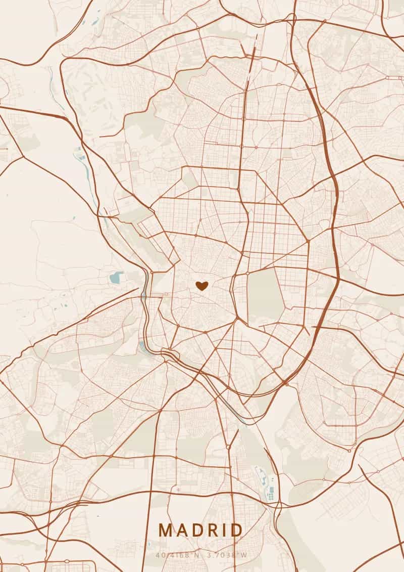
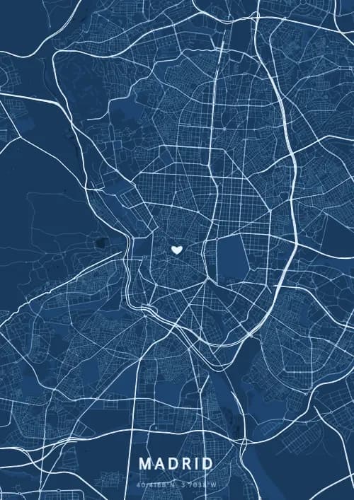
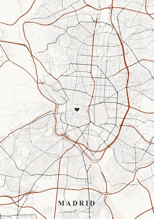
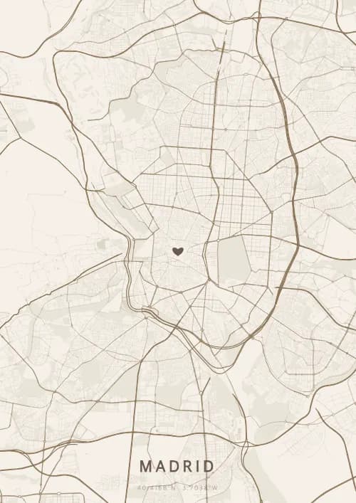
An OwnHomeMap city poster of Madrid is a decorative rendering of the supported roads, water features, and green-space polygons returned for the selected area by the active map-data source. Coverage varies by place and source response, so the generated preview—not this page—is the record of what the design will contain. It is not a navigation or surveying map.
Report a map-data or preview issue
Personalized City Map Poster of Madrid
40.4168°N, 3.7038°W
Under the vast Meseta sky, the streets of Madrid radiate around the Gran Vía. Gift a city map poster capturing Madrid's streets — a present as passionate and vibrant as the Spanish capital.
Famous Landmarks
Royal Palace
40.4168°N, 3.7038°W
The Royal Palace of Madrid is the largest royal residence in Western Europe, with over 3,400 rooms. Built in the 18th century in Baroque and Neoclassical style, it overlooks the Campo del Moro gardens and the Manzanares river.
Puerta del Sol
40.4168°N, 3.7038°W
Puerta del Sol is Madrid's central square and kilometre zero of all Spanish roads. Famous for its Bear and Strawberry Tree statue and the Casa de Correos clock, it is the beating heart of the capital.
Prado Museum
40.4168°N, 3.7038°W
The Prado Museum, founded in 1819, houses one of the world's most important collections of European art. Its galleries hold masterpieces by Velázquez, Goya, El Greco and Bosch, attracting over three million visitors per year.
Why gift a city map poster of Madrid?
Gifting a city map poster of Madrid means capturing the magic of a night under the vast Meseta sky, where the Royal Palace and the Retiro fall asleep through the streets. From the Gran Vía to the Temple of Debod at dusk, every neighbourhood tells the story of Madrid's passion.
The map of Madrid
At 40.4° north latitude, this city boasts a captivating street grid that reflects its rich urban history and architectural diversity.
Frequently asked questions
What does a Madrid city map poster show?
A Madrid city map poster uses the supported roads, water features, and green-space polygons returned for the selected area by the active map-data source. Coverage varies by place and source response, so review the generated preview before ordering. You can personalize the composition with a title, date, and coordinates.
What are the best themes for a Madrid poster?
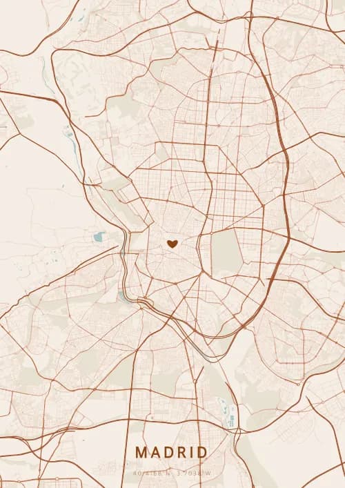
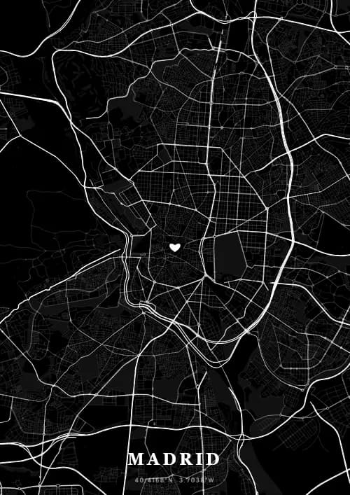
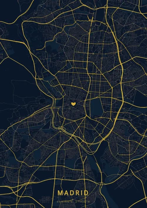
OwnHomeMap offers several visual themes. Available examples for Madrid include Midnight Blue for a dark, elegant look, Terracotta for a warm palette, Blueprint for an architectural style, and Noir for a monochrome design. Preview the current themes in the design tool before purchasing.
How accurate is the Madrid map?
The poster uses the streets, parks, and waterways returned for Madrid by the active map-data source. Coverage and detail vary by location and source response, so review the generated preview before ordering.
Can I get a Madrid poster as a gift?
Yes, a Madrid city map poster makes a meaningful gift for anyone with a connection to the city — whether they were born there, got married, studied, or simply have cherished memories of Madrid. You can add a personal inscription, choose from multiple sizes, and select either a digital PNG file or a printed poster.
Create your city map poster of Madrid
From €12.00
Create my city map poster