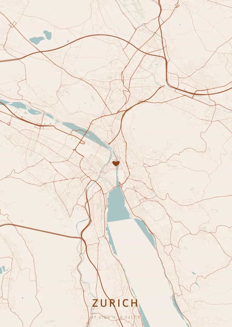
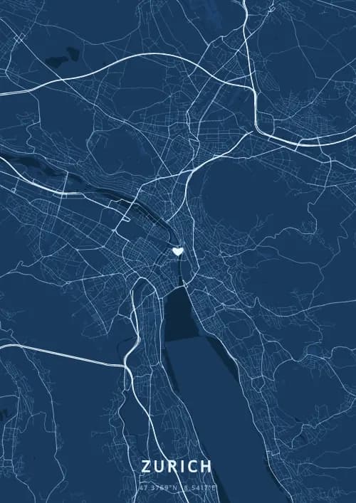
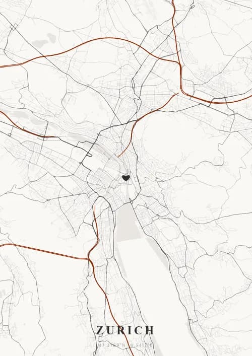
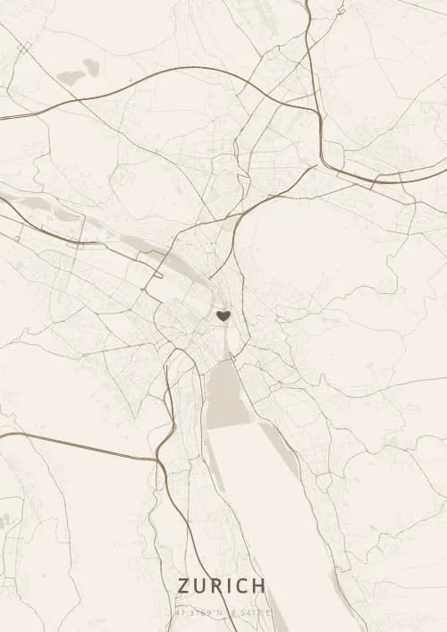
An OwnHomeMap city poster of Zurich is a decorative rendering of the supported roads, water features, and green-space polygons returned for the selected area by the active map-data source. Coverage varies by place and source response, so the generated preview—not this page—is the record of what the design will contain. It is not a navigation or surveying map.
Report a map-data or preview issue
Personalized City Map Poster of Zurich
47.3769°N, 8.5417°E
On the shores of Lake Zurich, streets mingle with alpine reflections in perfect serenity. Gift a Zurich city map poster — a present as pure and precious as the Swiss skyline at the foot of the snow-capped Alps.
Famous Landmarks
Grossmünster
47.3769°N, 8.5417°E
The Grossmünster is a Romanesque Protestant church whose two iconic towers have dominated central Zurich since the 12th century. According to legend, Charlemagne discovered the graves of patron saints Felix and Regula at this site. Its modern stained-glass windows by Augusto Giacometti and Sigmar Polke make it a unique blend of history and contemporary art.
Lake Zurich
47.3769°N, 8.5417°E
Lake Zurich stretches 40 kilometres in a banana shape between Zurich and Rapperswil. Fed by the Linth river, its clear waters reach 136 metres in depth and are bordered by terraced vineyards. In summer, locals swim directly from the city's historic public bathing facilities.
Bahnhofstrasse
47.3769°N, 8.5417°E
The Bahnhofstrasse, stretching 1.4 kilometres from the main station to Lake Zurich, is considered one of the world's most exclusive shopping avenues. Lined with linden trees, it has hosted Swiss and international luxury brands since the 19th century. Every Christmas, its fairy-tale illuminations attract visitors from around the globe.
Why gift a city map poster of Zurich?
Gifting a city map poster of Zurich means immortalizing a moment above the lake and the snow-capped Alps. Whether it was a proposal at the Lindenhof, a sunset from the Uetliberg, or a lakeside stroll, this poster captures the exact streets of that precious instant. A gift as pure and refined as Swiss elegance itself.
The map of Zurich
At 47° north latitude at the foot of the Alps, Zurich stretches along both shores of Lake Zurich and the Limmat river. The medieval Altstadt core, with its tight lanes around the Lindenhof, gives way to regular 19th-century grid districts. The wooded Uetliberg hill overlooking the city reveals the striking contrast between the ancient fabric and modern extensions on a map poster.
Frequently asked questions
What does a Zurich city map poster show?
A Zurich city map poster uses the supported roads, water features, and green-space polygons returned for the selected area by the active map-data source. Coverage varies by place and source response, so review the generated preview before ordering. You can personalize the composition with a title, date, and coordinates.
What are the best themes for a Zurich poster?
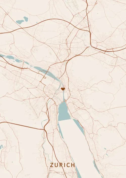
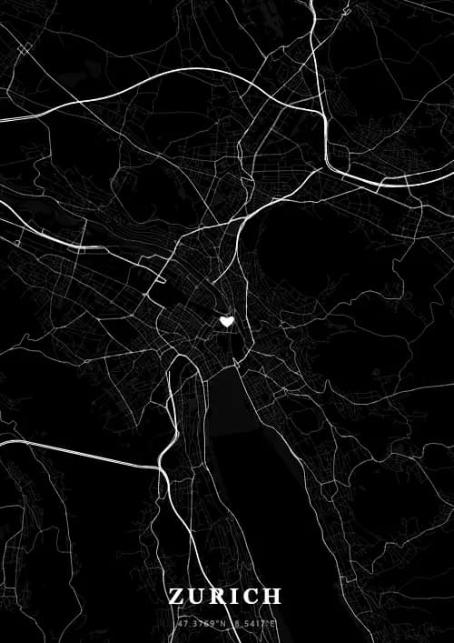
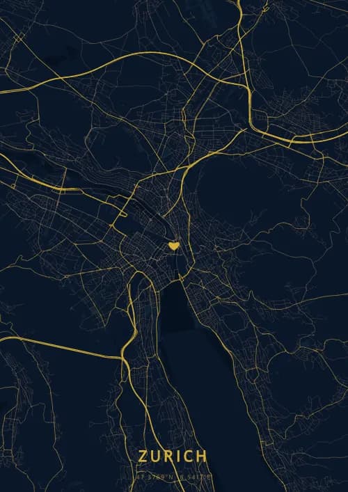
OwnHomeMap offers several visual themes. Available examples for Zurich include Midnight Blue for a dark, elegant look, Terracotta for a warm palette, Blueprint for an architectural style, and Noir for a monochrome design. Preview the current themes in the design tool before purchasing.
How accurate is the Zurich map?
The poster uses the streets, parks, and waterways returned for Zurich by the active map-data source. Coverage and detail vary by location and source response, so review the generated preview before ordering.
Can I get a Zurich poster as a gift?
Yes, a Zurich city map poster makes a meaningful gift for anyone with a connection to the city — whether they were born there, got married, studied, or simply have cherished memories of Zurich. You can add a personal inscription, choose from multiple sizes, and select either a digital PNG file or a printed poster.
Create your city map poster of Zurich
From €12.00
Create my city map poster