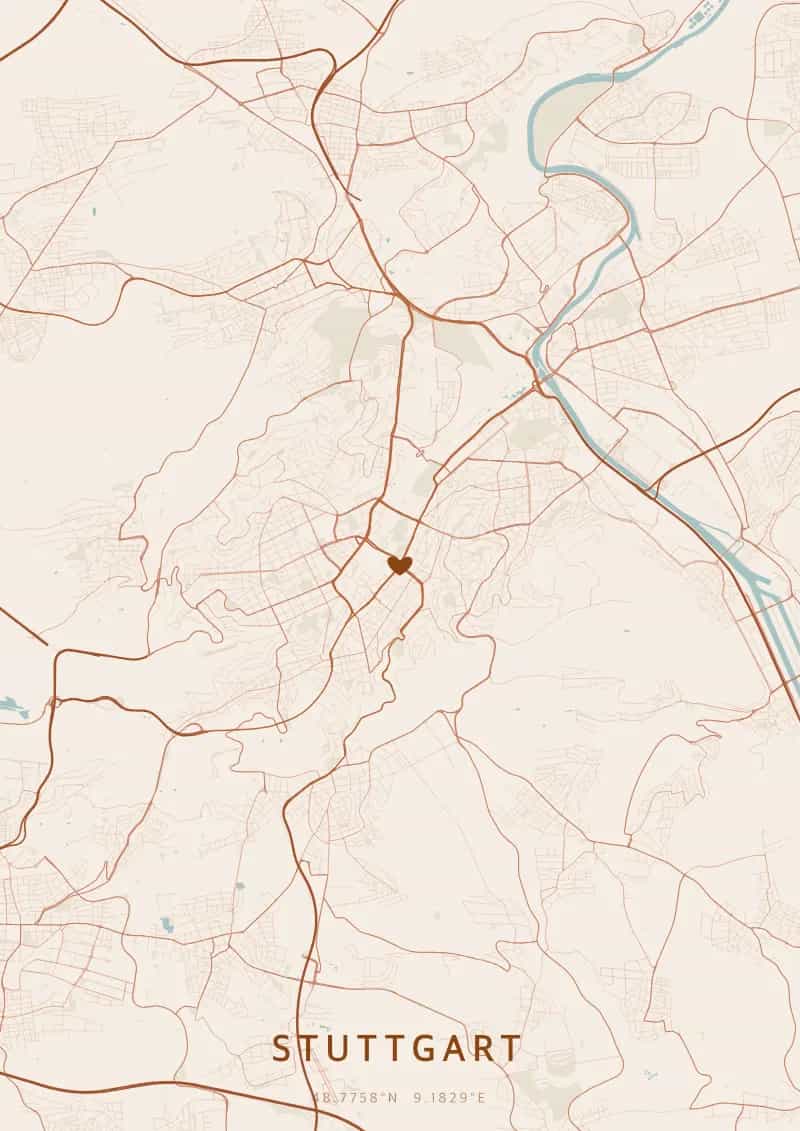
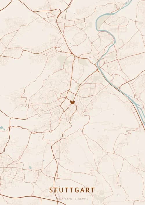
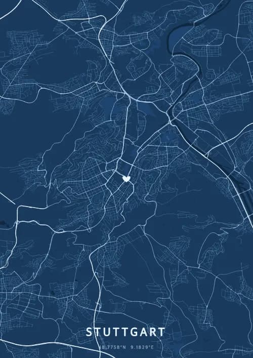
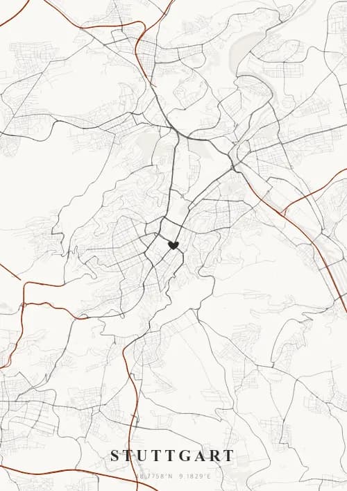
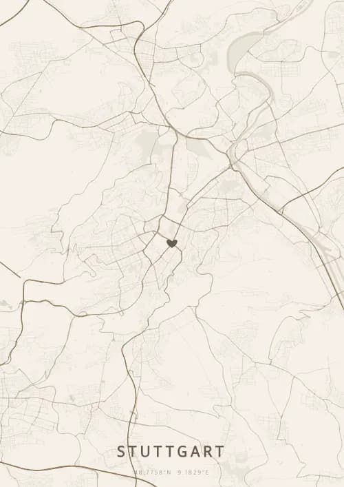
An OwnHomeMap city poster of Stuttgart is a decorative rendering of the supported roads, water features, and green-space polygons returned for the selected area by the active map-data source. Coverage varies by place and source response, so the generated preview—not this page—is the record of what the design will contain. It is not a navigation or surveying map.
Report a map-data or preview issue
Personalized City Map Poster of Stuttgart
48.7758°N, 9.1829°E
Nestled among vineyard hills, Stuttgart reveals its map around the Neues Schloss. Gift a city map poster capturing the Swabian streets — a present as refined as the vineyards embracing the city.
Famous Landmarks
Schlossplatz
48.7758°N, 9.1829°E
Schlossplatz is Stuttgart's largest square, dominated by the Neues Schloss, a baroque palace built between 1746 and 1807 for the Dukes of Württemberg. Surrounded by gardens, the Jubilee Column, and the Königsbau, it is the vibrant heart of the city where festivals, concerts, and markets take place year-round.
Mercedes-Benz Museum
48.7758°N, 9.1829°E
The Mercedes-Benz Museum traces 130 years of automotive history inside a futuristic nine-storey double-helix building opened in 2006. Its 16,500 square metres of exhibition space showcase 160 vehicles, from Karl Benz's first motor car of 1886 to the brand's latest prototypes.
Staatsgalerie
48.7758°N, 9.1829°E
The Staatsgalerie Stuttgart, whose postmodern new wing was designed by James Stirling in 1984, houses one of Germany's finest art collections. From the Middle Ages to contemporary art, it displays works by Rembrandt, Monet, Picasso, and Beuys in a journey blending bold architecture with an outstanding collection.
Why gift a city map poster of Stuttgart?
Gifting a city map poster of Stuttgart means capturing the streets around the Swabian vineyard hills and the baroque Neues Schloss. Whether for a wedding among the vineyards or an anniversary with views from the TV Tower, this map immortalises a moment beneath the Baden-Württemberg sky. A gift as refined as the wines that make the Neckar valley famous.
The map of Stuttgart
At 48° north latitude and nestled in a basin surrounded by vine-covered hills, Stuttgart has a bowl-shaped city plan of remarkable topography. Streets descend from the vineyard slopes toward the central Schlossplatz, while the Konigstrasse, one of Germany's longest pedestrian arteries, forms the city's main axis. The Neckar borders the map to the southeast.
Frequently asked questions
What does a Stuttgart city map poster show?
A Stuttgart city map poster uses the supported roads, water features, and green-space polygons returned for the selected area by the active map-data source. Coverage varies by place and source response, so review the generated preview before ordering. You can personalize the composition with a title, date, and coordinates.
What are the best themes for a Stuttgart poster?
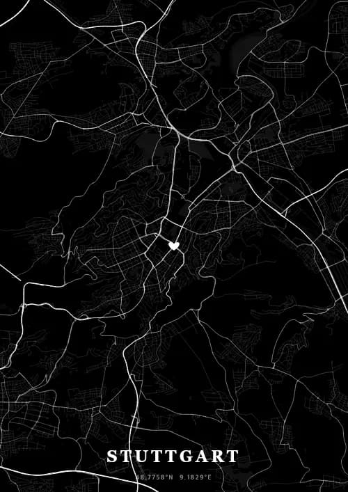
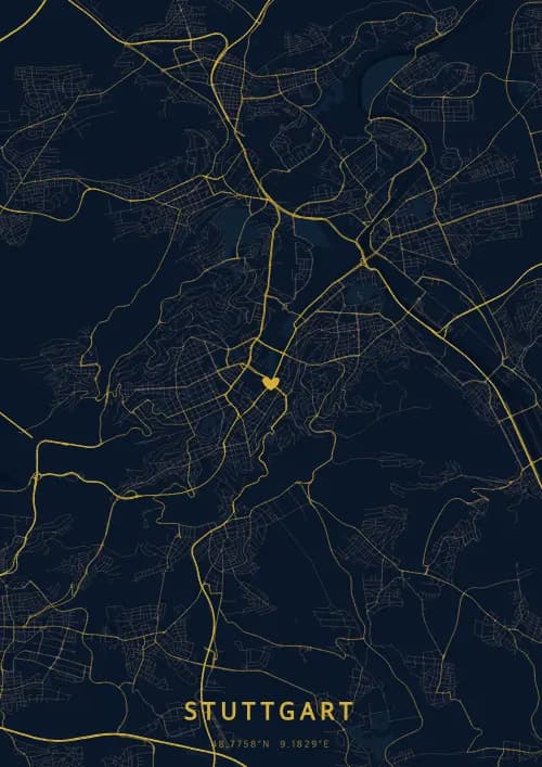
OwnHomeMap offers several visual themes. Available examples for Stuttgart include Midnight Blue for a dark, elegant look, Terracotta for a warm palette, Blueprint for an architectural style, and Noir for a monochrome design. Preview the current themes in the design tool before purchasing.
How accurate is the Stuttgart map?
The poster uses the streets, parks, and waterways returned for Stuttgart by the active map-data source. Coverage and detail vary by location and source response, so review the generated preview before ordering.
Can I get a Stuttgart poster as a gift?
Yes, a Stuttgart city map poster makes a meaningful gift for anyone with a connection to the city — whether they were born there, got married, studied, or simply have cherished memories of Stuttgart. You can add a personal inscription, choose from multiple sizes, and select either a digital PNG file or a printed poster.
Create your city map poster of Stuttgart
From €12.00
Create my city map poster