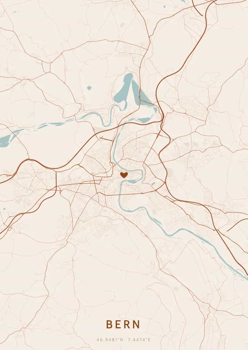
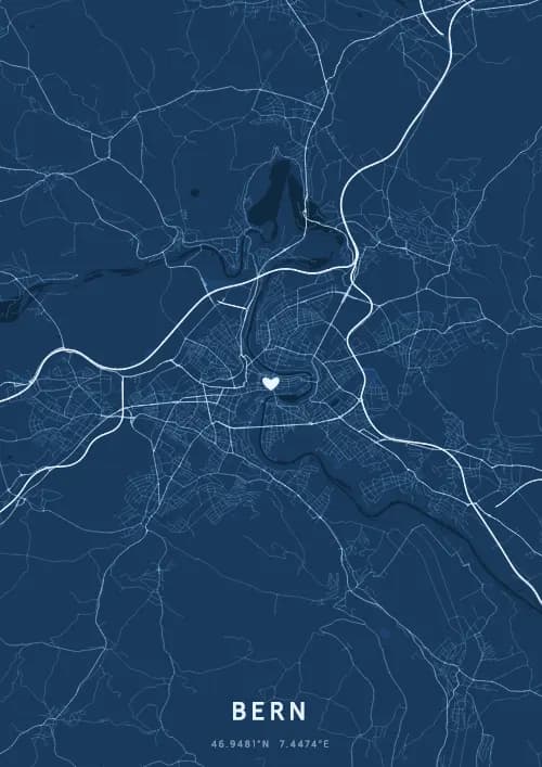
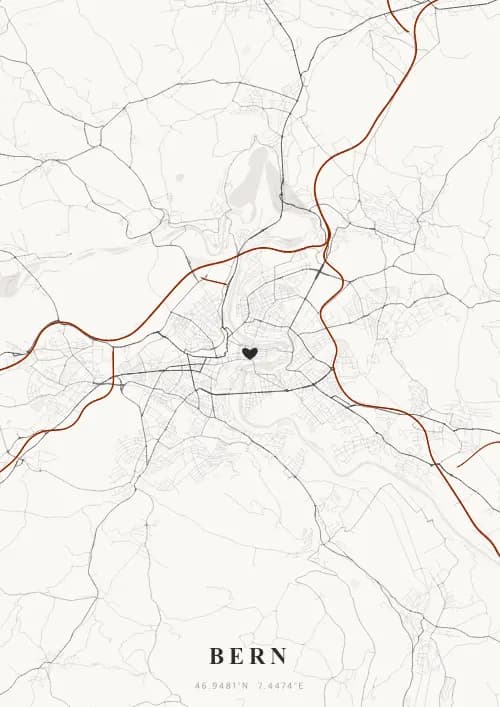
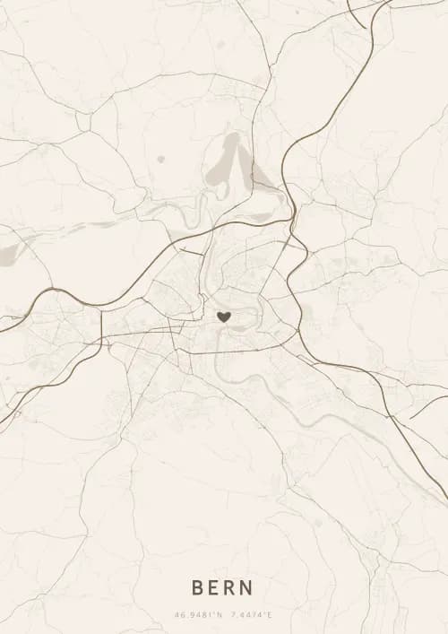
An OwnHomeMap city poster of Bern is a decorative rendering of the supported roads, water features, and green-space polygons returned for the selected area by the active map-data source. Coverage varies by place and source response, so the generated preview—not this page—is the record of what the design will contain. It is not a navigation or surveying map.
Report a map-data or preview issue
Personalized City Map Poster of Bern
46.9481°N, 7.4474°E
Federal capital of Switzerland, Bern reveals its map above its UNESCO-listed old town and the Zytglogge. Gift a Bern city map poster — a present as timeless as the medieval arcades along the Aare beneath the Helvetic plan.
Famous Landmarks
Zytglogge
46.9481°N, 7.4474°E
The Zytglogge is a medieval clock tower built in the early 13th century, which successively served as a watchtower, prison, and civic clock. Its 1530 astronomical clock features a mechanical figurine show four minutes before every hour. It once marked the zero point from which all distances in Bern were measured.
Federal Palace
46.9481°N, 7.4474°E
The Federal Palace, seat of the Swiss government and parliament, was inaugurated in 1902 in neo-Renaissance style. Its 64-metre dome is decorated with a mosaic depicting the Swiss coat of arms surrounded by the 22 cantonal emblems. The Federal Square in front features 26 fountain jets representing the Swiss cantons.
Bear Park
46.9481°N, 7.4474°E
The Bärengraben (Bear Park), a Bernese tradition since 1513, is an animal park along the Aare dedicated to the brown bear, the city's emblematic animal. Renovated in 2009 into a spacious 6,000 m² landscaped area, the BärenPark gives the bears a natural environment with direct river access. The bear has appeared on Bern's coat of arms since the city's founding in 1191.
Why gift a city map poster of Bern?
Gifting a city map poster of Bern means capturing a moment above the Swiss federal capital and its UNESCO-listed medieval arcades. Whether it was a walk in the Rose Garden overlooking the old town, a swim in the Aare, or a magical moment before the Zytglogge, this poster immortalizes the streets of that Swiss moment. A gift as timeless as the six kilometres of arcades that have sheltered the Bernese since the Middle Ages.
The map of Bern
At 47° north latitude in a spectacular bend of the Aare river, Bern features a remarkably preserved medieval street plan listed as a UNESCO World Heritage Site. Six kilometres of arcades (Lauben) line the main streets of the old town, built on a natural peninsula formed by the river's meander. The Munsterplattform and Rose Garden offer plunging views over this compact street network surrounded by water on three sides.
Frequently asked questions
What does a Bern city map poster show?
A Bern city map poster uses the supported roads, water features, and green-space polygons returned for the selected area by the active map-data source. Coverage varies by place and source response, so review the generated preview before ordering. You can personalize the composition with a title, date, and coordinates.
What are the best themes for a Bern poster?
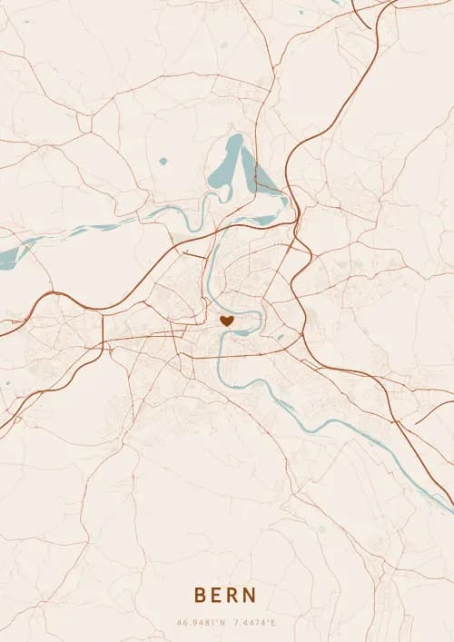
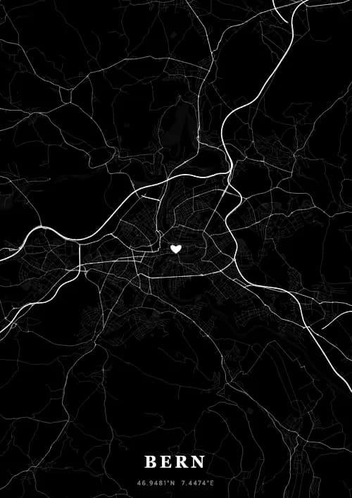
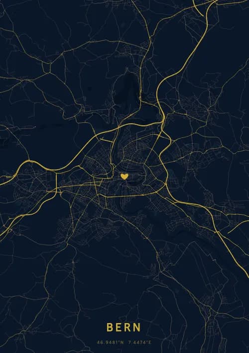
OwnHomeMap offers several visual themes. Available examples for Bern include Midnight Blue for a dark, elegant look, Terracotta for a warm palette, Blueprint for an architectural style, and Noir for a monochrome design. Preview the current themes in the design tool before purchasing.
How accurate is the Bern map?
The poster uses the streets, parks, and waterways returned for Bern by the active map-data source. Coverage and detail vary by location and source response, so review the generated preview before ordering.
Can I get a Bern poster as a gift?
Yes, a Bern city map poster makes a meaningful gift for anyone with a connection to the city — whether they were born there, got married, studied, or simply have cherished memories of Bern. You can add a personal inscription, choose from multiple sizes, and select either a digital PNG file or a printed poster.
Create your city map poster of Bern
From €12.00
Create my city map poster