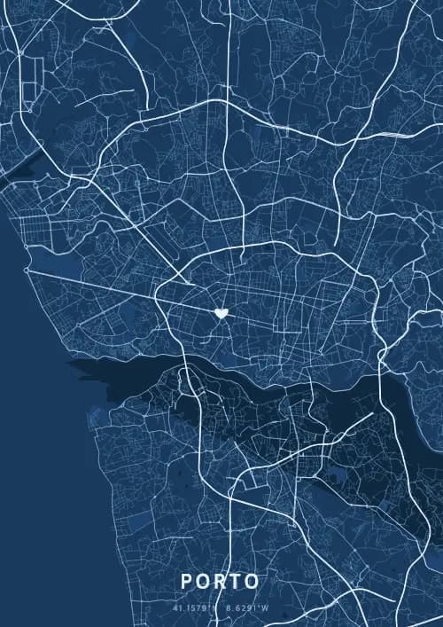
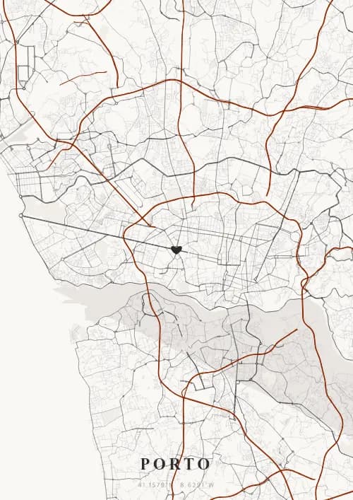
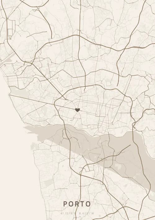
An OwnHomeMap city poster of Porto is a decorative rendering of the supported roads, water features, and green-space polygons returned for the selected area by the active map-data source. Coverage varies by place and source response, so the generated preview—not this page—is the record of what the design will contain. It is not a navigation or surveying map.
Report a map-data or preview issue
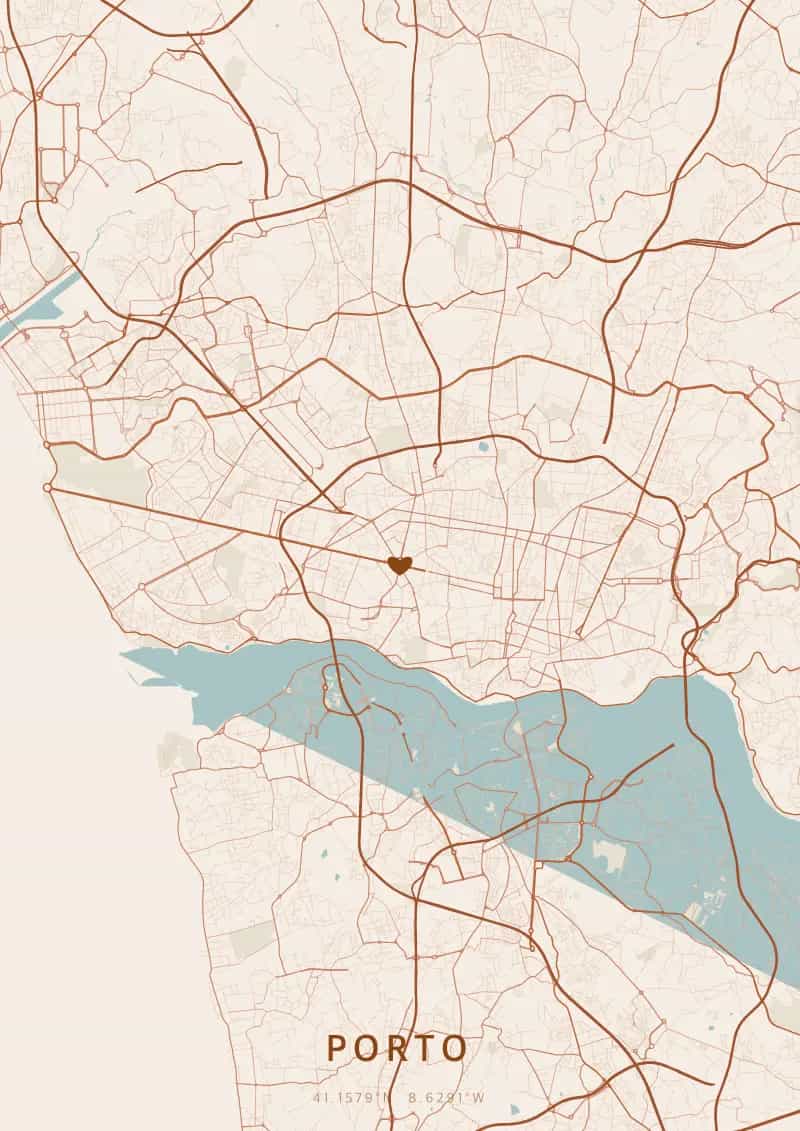
Personalized City Map Poster of Porto
41.1579°N, 8.6291°W
Along the Douro, the streets of Porto trace the colourful facades of the Ribeira and the port cellars of Vila Nova de Gaia. Gift a Porto city map poster — a present as warm as a glass of port enjoyed on the Dom Luís Bridge beneath the layout.
Famous Landmarks
Dom Luís I Bridge
41.1579°N, 8.6291°W
The Dom Luís I Bridge, designed by a disciple of Gustave Eiffel and opened in 1886, spans the Douro on two levels with a 172-metre arch. Its upper deck, reserved for the metro and pedestrians, soars 45 metres above the river. It connects the Ribeira district to the port cellars of Vila Nova de Gaia.
Lello Bookshop
41.1579°N, 8.6291°W
Lello Bookshop, opened in 1906, is considered one of the most beautiful bookshops in the world. Its carved wooden central staircase, said to have inspired J.K. Rowling, rises in a double spiral beneath an Art Nouveau stained-glass ceiling. Its neo-Gothic facade and floor-to-ceiling shelves draw over a million visitors annually.
Clérigos Tower
41.1579°N, 8.6291°W
The Clérigos Tower, completed in 1763, rises to 76 metres and was long the tallest building in Portugal. Designed by the Italian architect Nicolau Nasoni, it offers a complete panorama of Porto after climbing 240 steps. Its Baroque style has become one of the city's defining symbols.
Why gift a city map poster of Porto?
Gifting a city map poster of Porto means celebrating the warmth of an authentic city where the Douro meets the Atlantic through the streets. From the illuminated Ribeira to the cellars of Vila Nova de Gaia, Porto blends tradition and conviviality. A Porto city map poster captures the soul of a city savoured like a fine vintage.
The map of Porto
At 41.2° north latitude, Porto unfolds a fascinating urban layout where medieval alleys meet grand boulevards and contemporary districts. The Atlantic influence shapes its granite streets, while the elevated Crystal Palace Gardens offer sweeping views over the rooftops and the Douro.
Frequently asked questions
What does a Porto city map poster show?
A Porto city map poster uses the supported roads, water features, and green-space polygons returned for the selected area by the active map-data source. Coverage varies by place and source response, so review the generated preview before ordering. You can personalize the composition with a title, date, and coordinates.
What are the best themes for a Porto poster?
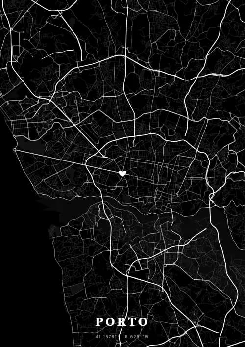
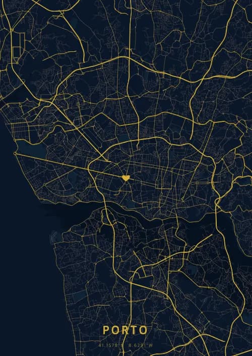
OwnHomeMap offers several visual themes. Available examples for Porto include Midnight Blue for a dark, elegant look, Terracotta for a warm palette, Blueprint for an architectural style, and Noir for a monochrome design. Preview the current themes in the design tool before purchasing.
How accurate is the Porto map?
The poster uses the streets, parks, and waterways returned for Porto by the active map-data source. Coverage and detail vary by location and source response, so review the generated preview before ordering.
Can I get a Porto poster as a gift?
Yes, a Porto city map poster makes a meaningful gift for anyone with a connection to the city — whether they were born there, got married, studied, or simply have cherished memories of Porto. You can add a personal inscription, choose from multiple sizes, and select either a digital PNG file or a printed poster.
Create your city map poster of Porto
From €12.00
Create my city map poster