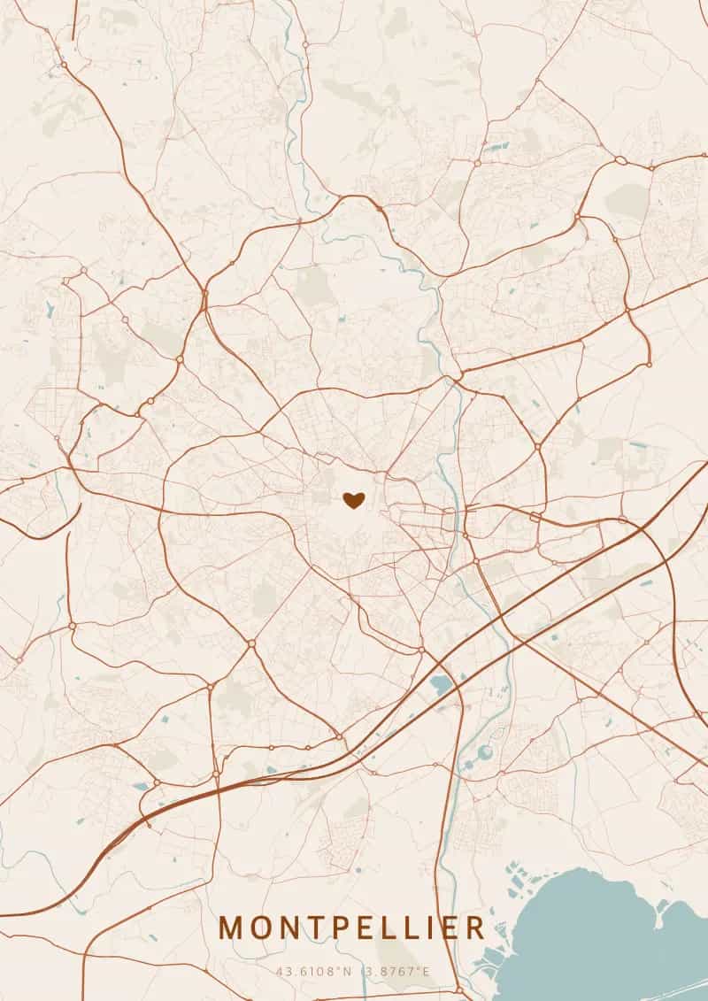
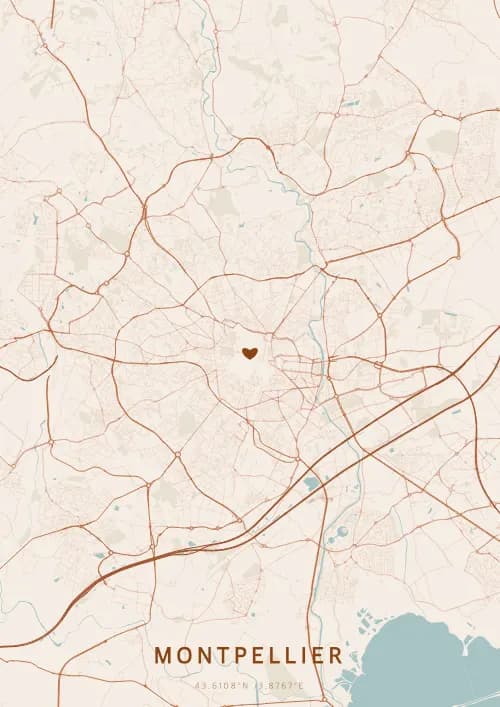
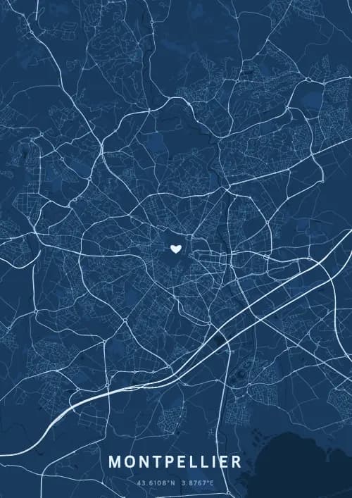
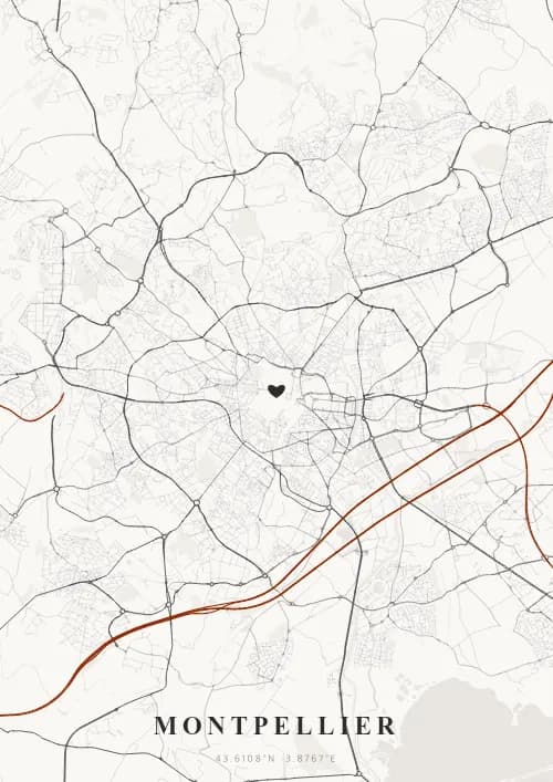
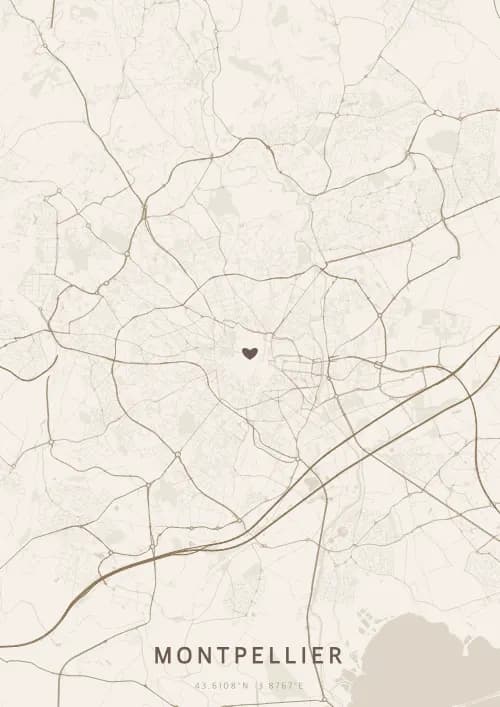
An OwnHomeMap city poster of Montpellier is a decorative rendering of the supported roads, water features, and green-space polygons returned for the selected area by the active map-data source. Coverage varies by place and source response, so the generated preview—not this page—is the record of what the design will contain. It is not a navigation or surveying map.
Report a map-data or preview issue
Personalized City Map Poster of Montpellier
43.6108°N, 3.8767°E
Beneath the Languedoc sun, Montpellier reveals its map above the Place de la Comédie and the medieval Écusson. Gift a Montpellier city map poster — a present as radiant as summer nights on the Esplanade Charles-de-Gaulle.
Famous Landmarks
Place de la Comédie
43.6108°N, 3.8767°E
Place de la Comédie, nicknamed 'the Egg' by locals for its oval shape, is the vibrant heart of Montpellier. Adorned with the Three Graces fountain dating from 1797, it connects the medieval Écusson to the neoclassical Antigone district. It is one of the largest pedestrian squares in Europe.
Peyrou Triumphal Arch
43.6108°N, 3.8767°E
The Peyrou Triumphal Arch, erected in 1693 in honor of Louis XIV, marks the monumental gateway to Montpellier. Standing 15 meters tall, it is decorated with bas-reliefs celebrating the Sun King's victories. It opens onto the Royal Peyrou Promenade, one of the city's finest viewpoints overlooking the Cévennes mountains and the sea.
Saint-Pierre Cathedral
43.6108°N, 3.8767°E
Saint-Pierre Cathedral is an imposing Gothic church founded in 1364, elevated to cathedral status in 1536. Its monumental canopy porch, supported by two massive cylindrical pillars, is unique in France. Located in the historic Écusson quarter, it stands next to the faculty of medicine, one of the oldest in the Western world.
Why gift a city map poster of Montpellier?
Gifting a city map poster of Montpellier means immortalizing a moment under the luminous Languedoc sky. Whether it was a wedding on the Peyrou Promenade, a first meeting on Place de la Comédie, or a summer memory in the lanes of the Écusson, every Montpellier moment shines through the streets. A sun-kissed gift for a radiant city.
The map of Montpellier
Sitting at 43.6° north latitude, this city boasts a captivating street grid that reflects its rich urban history and architectural diversity.
Frequently asked questions
What does a Montpellier city map poster show?
A Montpellier city map poster uses the supported roads, water features, and green-space polygons returned for the selected area by the active map-data source. Coverage varies by place and source response, so review the generated preview before ordering. You can personalize the composition with a title, date, and coordinates.
What are the best themes for a Montpellier poster?
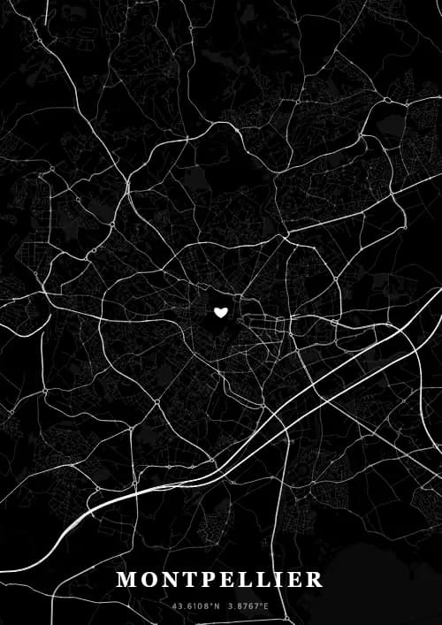
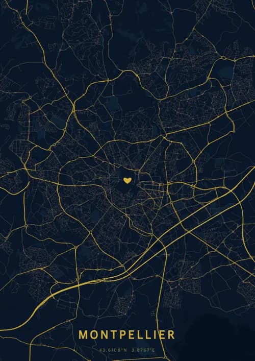
OwnHomeMap offers several visual themes. Available examples for Montpellier include Midnight Blue for a dark, elegant look, Terracotta for a warm palette, Blueprint for an architectural style, and Noir for a monochrome design. Preview the current themes in the design tool before purchasing.
How accurate is the Montpellier map?
The poster uses the streets, parks, and waterways returned for Montpellier by the active map-data source. Coverage and detail vary by location and source response, so review the generated preview before ordering.
Can I get a Montpellier poster as a gift?
Yes, a Montpellier city map poster makes a meaningful gift for anyone with a connection to the city — whether they were born there, got married, studied, or simply have cherished memories of Montpellier. You can add a personal inscription, choose from multiple sizes, and select either a digital PNG file or a printed poster.
Create your city map poster of Montpellier
From €12.00
Create my city map poster