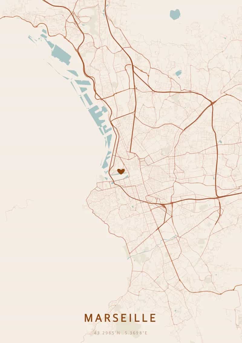
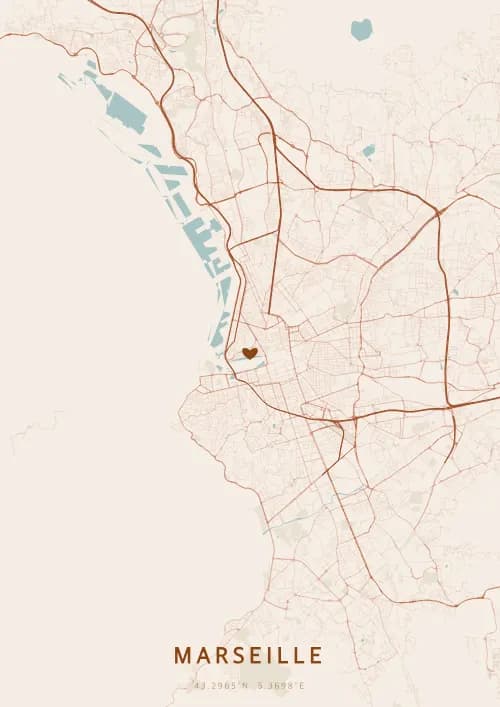
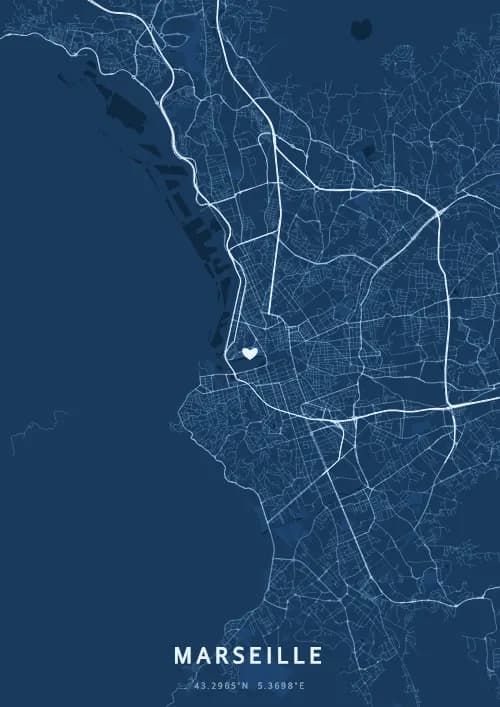
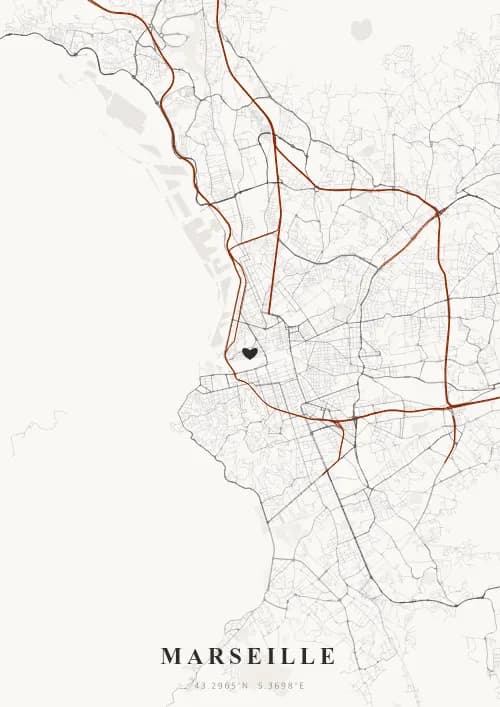
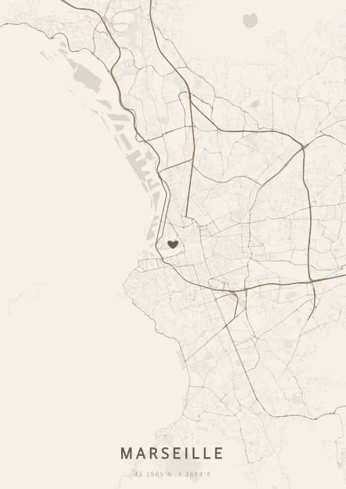
An OwnHomeMap city poster of Marseille is a decorative rendering of the supported roads, water features, and green-space polygons returned for the selected area by the active map-data source. Coverage varies by place and source response, so the generated preview—not this page—is the record of what the design will contain. It is not a navigation or surveying map.
Report a map-data or preview issue
Personalized City Map Poster of Marseille
43.2965°N, 5.3698°E
Under the Marseille sky, streets wind through the calanques and the Old Port. Gift a city map poster immortalizing the layout above Notre-Dame de la Garde, the luminous guardian of the Phocaean city.
Famous Landmarks
Notre-Dame de la Garde
43.2965°N, 5.3698°E
Notre-Dame de la Garde, nicknamed 'la Bonne Mère,' watches over Marseille from its 154-meter-high promontory. Built between 1853 and 1864 in a Romano-Byzantine style, it is crowned by a gilded statue of the Virgin Mary visible for miles out to sea. It is Marseille's most visited monument.
Old Port
43.2965°N, 5.3698°E
The Old Port of Marseille is the city's birthplace, founded by the Greeks of Phocaea around 600 BC. Now a marina at the heart of the city, it hosts a lively fish market every morning. Its harbor is flanked by Fort Saint-Jean and Fort Saint-Nicolas.
Calanques of Marseille
43.2965°N, 5.3698°E
The Calanques of Marseille form a national park spanning 20 kilometers of limestone inlets between Marseille and Cassis. Their white cliffs plunging into turquoise waters harbor exceptional biodiversity. This natural jewel is accessible by sea or via spectacular hiking trails.
Why gift a city map poster of Marseille?
Gifting a city map poster of Marseille means immortalizing a moment under the sky of the Phocaean city. Whether it was a proposal facing the Calanques, a sunset on the Corniche Kennedy, or a dinner at the Old Port, every Marseille moment deserves its city map poster. A vibrant gift worthy of France's oldest city.
The map of Marseille
Sitting at 43.3° north latitude, this city boasts a captivating street grid that reflects its rich urban history and architectural diversity.
Frequently asked questions
What does a Marseille city map poster show?
A Marseille city map poster uses the supported roads, water features, and green-space polygons returned for the selected area by the active map-data source. Coverage varies by place and source response, so review the generated preview before ordering. You can personalize the composition with a title, date, and coordinates.
What are the best themes for a Marseille poster?
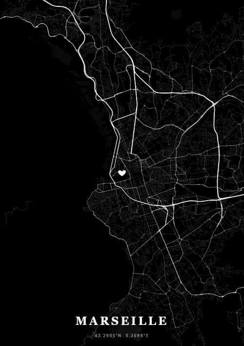
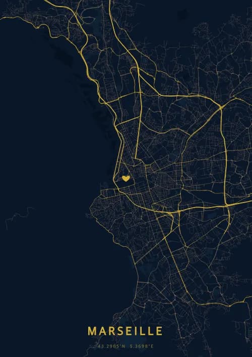
OwnHomeMap offers several visual themes. Available examples for Marseille include Midnight Blue for a dark, elegant look, Terracotta for a warm palette, Blueprint for an architectural style, and Noir for a monochrome design. Preview the current themes in the design tool before purchasing.
How accurate is the Marseille map?
The poster uses the streets, parks, and waterways returned for Marseille by the active map-data source. Coverage and detail vary by location and source response, so review the generated preview before ordering.
Can I get a Marseille poster as a gift?
Yes, a Marseille city map poster makes a meaningful gift for anyone with a connection to the city — whether they were born there, got married, studied, or simply have cherished memories of Marseille. You can add a personal inscription, choose from multiple sizes, and select either a digital PNG file or a printed poster.
Create your city map poster of Marseille
From €12.00
Create my city map poster