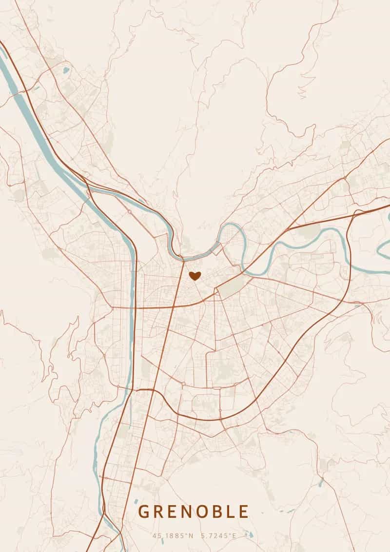
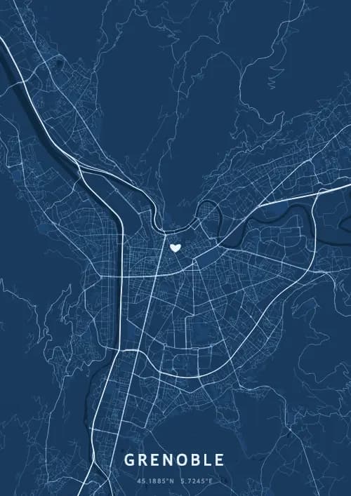
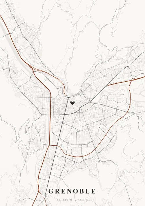
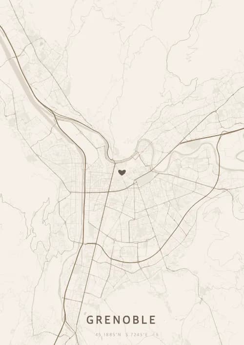
An OwnHomeMap city poster of Grenoble is a decorative rendering of the supported roads, water features, and green-space polygons returned for the selected area by the active map-data source. Coverage varies by place and source response, so the generated preview—not this page—is the record of what the design will contain. It is not a navigation or surveying map.
Report a map-data or preview issue
Personalized City Map Poster of Grenoble
45.1885°N, 5.7245°E
Nestled between the Vercors, Chartreuse, and Belledonne ranges, Grenoble reveals its map above a spectacular mountain amphitheater. Gift a Grenoble city map poster — a present as grandiose as the panorama from the Bastille over the Alpine summits.
Famous Landmarks
Bastille Fort
45.1885°N, 5.7245°E
The Bastille Fort, perched at 476 meters on a rocky spur overlooking Grenoble, is a 19th-century fortification accessible via the famous bubble cable car. Its viewpoint offers one of the finest urban panoramas in France, with a 360° view of the Vercors, Chartreuse, and Belledonne mountain ranges.
Grenoble Cable Car
45.1885°N, 5.7245°E
The Grenoble-Bastille Cable Car, inaugurated in 1934, is the world's first urban cable car. Its transparent spherical cabins, nicknamed 'the Bubbles,' fly over the Isère and old town in 5 minutes, offering a spectacular 263-meter ascent. It carries over 300,000 visitors per year.
Grenoble Museum
45.1885°N, 5.7245°E
The Grenoble Museum, opened in 1798, is one of France's first museums and holds one of Europe's finest collections of modern and contemporary art. Its 57,000 works include masterpieces by Rubens, Matisse, Picasso, and Warhol. Its contemporary building, inaugurated in 1994, opens onto a sculpture park.
Why gift a city map poster of Grenoble?
Gifting a city map poster of Grenoble means immortalizing a moment at the heart of the French Alps. Whether it was a proposal at the Bastille, a first kiss on the banks of the Isère, or a mountain holiday memory, every Grenoble moment is set against a unique Alpine backdrop. A gift as majestic as the peaks that frame the city.
The map of Grenoble
At 45° north latitude and 214 meters altitude, Grenoble unfolds its street plan in an Alpine valley framed by the Vercors, Chartreuse, and Belledonne ranges. The Isere and Drac rivers converge at the city's heart, dividing the urban fabric into distinct sectors. The view from the Bastille, reached by cable car, reveals a grid of streets hemmed in by mountain walls exceeding 2,000 meters.
Frequently asked questions
What does a Grenoble city map poster show?
A Grenoble city map poster uses the supported roads, water features, and green-space polygons returned for the selected area by the active map-data source. Coverage varies by place and source response, so review the generated preview before ordering. You can personalize the composition with a title, date, and coordinates.
What are the best themes for a Grenoble poster?
OwnHomeMap offers several visual themes. Available examples for Grenoble include Midnight Blue for a dark, elegant look, Terracotta for a warm palette, Blueprint for an architectural style, and Noir for a monochrome design. Preview the current themes in the design tool before purchasing.
How accurate is the Grenoble map?
The poster uses the streets, parks, and waterways returned for Grenoble by the active map-data source. Coverage and detail vary by location and source response, so review the generated preview before ordering.
Can I get a Grenoble poster as a gift?
Yes, a Grenoble city map poster makes a meaningful gift for anyone with a connection to the city — whether they were born there, got married, studied, or simply have cherished memories of Grenoble. You can add a personal inscription, choose from multiple sizes, and select either a digital PNG file or a printed poster.
Create your city map poster of Grenoble
From €12.00
Create my city map poster