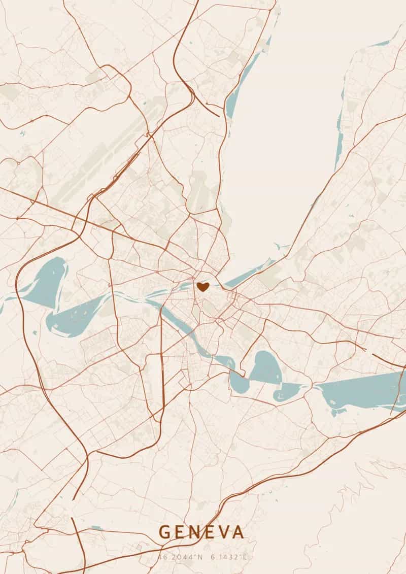
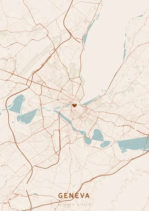
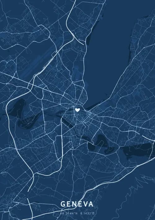
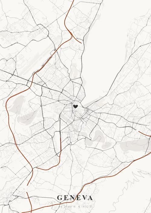
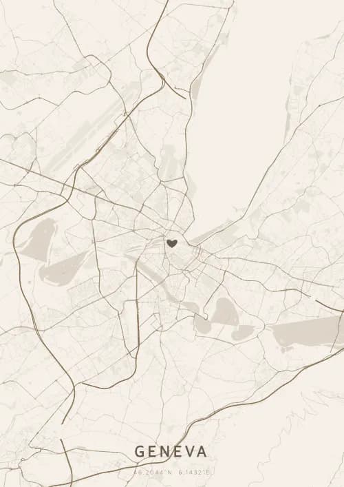
An OwnHomeMap city poster of Geneva is a decorative rendering of the supported roads, water features, and green-space polygons returned for the selected area by the active map-data source. Coverage varies by place and source response, so the generated preview—not this page—is the record of what the design will contain. It is not a navigation or surveying map.
Report a map-data or preview issue
Personalized City Map Poster of Geneva
46.2044°N, 6.1432°E
On the shores of Lake Geneva, the streets wind along the calm waters at the foot of Mont Blanc. Gift a Geneva city map poster — a present as elegant as the Jet d'Eau rising towards the quartiers above the international city.
Famous Landmarks
Jet d'Eau
46.2044°N, 6.1432°E
The Jet d'Eau propels 500 litres of water per second to a height of 140 metres, making it one of the tallest fountains in the world. Created in 1886 as a hydraulic safety valve, it has become the symbol of Geneva. Visible for kilometres, it illuminates Lake Geneva each evening with powerful floodlights.
Palace of Nations
46.2044°N, 6.1432°E
The Palace of Nations, built between 1929 and 1938, is the European headquarters of the United Nations and the second-largest UN complex after New York. It hosts over 10,000 meetings annually and houses a library of 1 million volumes. Its 46-hectare Ariana Park offers a spectacular view of Lake Geneva and Mont Blanc.
St. Pierre Cathedral
46.2044°N, 6.1432°E
St. Pierre Cathedral, built between 1160 and 1252, is a remarkable blend of Romanesque, Gothic, and neoclassical styles. John Calvin preached the Reformation here from 1536, making Geneva the 'Protestant Rome'. From its towers, accessible via 157 steps, one enjoys a unique panorama of the old town, the lake, and the Alps.
Why gift a city map poster of Geneva?
Gifting a city map poster of Geneva means immortalizing a moment above Lake Geneva and Mont Blanc. Whether it was a proposal before the Jet d'Eau, a walk in the English Garden, or a sunset on the Ouchy waterfront, this poster captures the exact streets of that elegant instant. A gift as international and refined as the city of diplomacy and watchmaking.
The map of Geneva
At 46° north latitude on the shores of Lake Geneva, the city spreads from the southwestern tip of the lake where the Rhone exits. The hilltop Old Town overlooks an elegant network of lakeside quays and parks. The street plan reflects the city's international character, with the international organisation district to the north and the Rive shopping streets to the south. The Jet d'Eau and the Mont-Blanc bridge mark the central axis of a map with remarkable aquatic geometry.
Frequently asked questions
What does a Geneva city map poster show?
A Geneva city map poster uses the supported roads, water features, and green-space polygons returned for the selected area by the active map-data source. Coverage varies by place and source response, so review the generated preview before ordering. You can personalize the composition with a title, date, and coordinates.
What are the best themes for a Geneva poster?
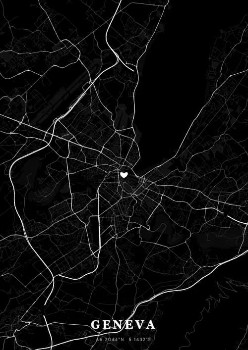
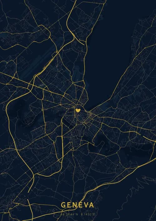
OwnHomeMap offers several visual themes. Available examples for Geneva include Midnight Blue for a dark, elegant look, Terracotta for a warm palette, Blueprint for an architectural style, and Noir for a monochrome design. Preview the current themes in the design tool before purchasing.
How accurate is the Geneva map?
The poster uses the streets, parks, and waterways returned for Geneva by the active map-data source. Coverage and detail vary by location and source response, so review the generated preview before ordering.
Can I get a Geneva poster as a gift?
Yes, a Geneva city map poster makes a meaningful gift for anyone with a connection to the city — whether they were born there, got married, studied, or simply have cherished memories of Geneva. You can add a personal inscription, choose from multiple sizes, and select either a digital PNG file or a printed poster.
Create your city map poster of Geneva
From €12.00
Create my city map poster