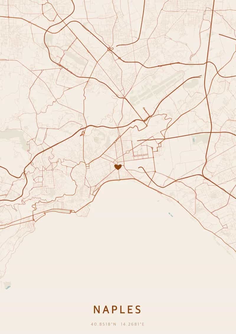
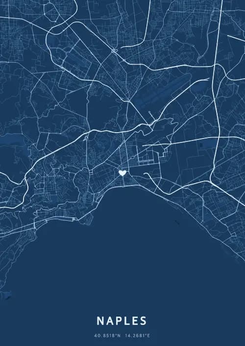
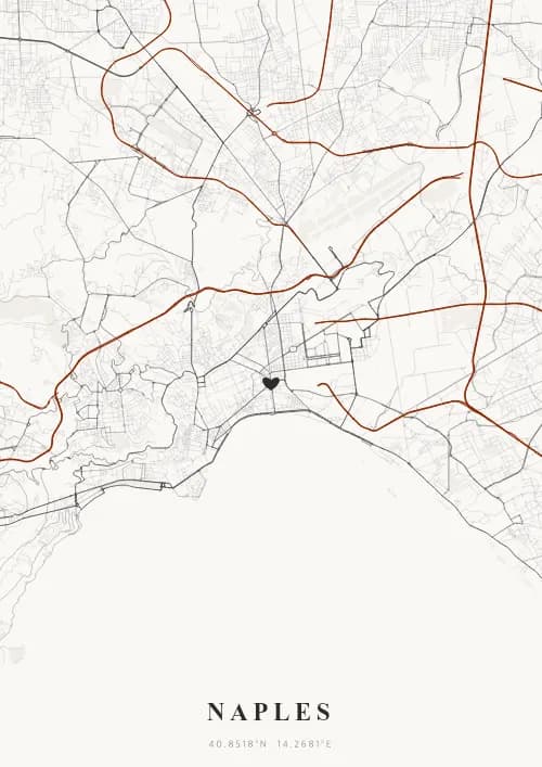
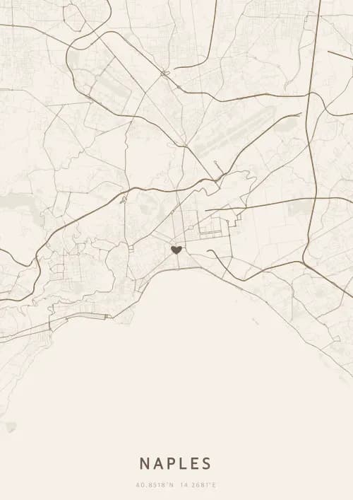
An OwnHomeMap city poster of Naples is a decorative rendering of the supported roads, water features, and green-space polygons returned for the selected area by the active map-data source. Coverage varies by place and source response, so the generated preview—not this page—is the record of what the design will contain. It is not a navigation or surveying map.
Report a map-data or preview issue
Personalized City Map Poster of Naples
40.8518°N, 14.2681°E
At the foot of Vesuvius, the streets of Naples set ablaze the world's most famous bay. Gift a Neapolitan city map poster — a present as fiery as the sunset over Capri seen from the Lungomare.
Famous Landmarks
Castel dell'Ovo
40.8518°N, 14.2681°E
Castel dell'Ovo, the oldest fortress in Naples, stands on the tiny island of Megaride in the bay. Its name comes from a legend that Virgil hid a magical egg within its walls. Built in the 12th century, it offers panoramic views of the gulf and Mount Vesuvius.
Spaccanapoli
40.8518°N, 14.2681°E
Spaccanapoli is the straight street that splits Naples' historic centre in two, following the ancient Greco-Roman road. Stretching over a kilometre, it passes through the city's liveliest neighbourhoods. Baroque churches, artisan shops, and historic pizzerias line its path.
National Archaeological Museum
40.8518°N, 14.2681°E
The National Archaeological Museum of Naples holds one of the world's most important collections of Greco-Roman antiquities. It houses the treasures of Pompeii and Herculaneum, including the Farnese collection. Its Roman mosaics and frescoes are among the best preserved from antiquity.
Why gift a city map poster of Naples?
Gifting a city map poster of Naples means capturing the passion of a city where Vesuvius watches over every detailed layout. From the Lungomare at sunset to the bustling alleys of Spaccanapoli, Naples pulses with unique energy. A Neapolitan city map poster immortalizes the wild beauty of this legendary bay.
The map of Naples
At 40.9° north latitude, Naples unfolds a dense, organic street plan shaped by the dramatic coastline of its gulf and the looming presence of Vesuvius. The narrow decumani of Spaccanapoli slice straight through the ancient Greek-Roman grid, while the Lungomare curves along the waterfront. The steep hills of Vomero and Posillipo add dramatic elevation changes to the city map.
Frequently asked questions
What does a Naples city map poster show?
A Naples city map poster uses the supported roads, water features, and green-space polygons returned for the selected area by the active map-data source. Coverage varies by place and source response, so review the generated preview before ordering. You can personalize the composition with a title, date, and coordinates.
What are the best themes for a Naples poster?
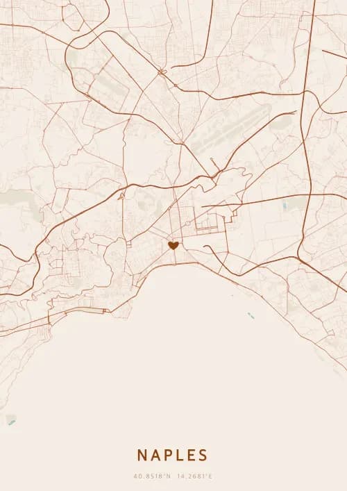
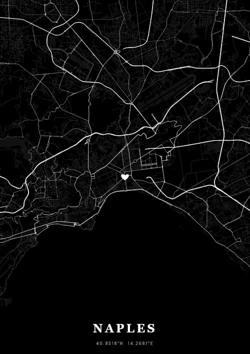
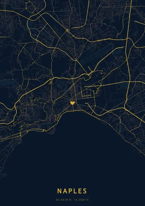
OwnHomeMap offers several visual themes. Available examples for Naples include Midnight Blue for a dark, elegant look, Terracotta for a warm palette, Blueprint for an architectural style, and Noir for a monochrome design. Preview the current themes in the design tool before purchasing.
How accurate is the Naples map?
The poster uses the streets, parks, and waterways returned for Naples by the active map-data source. Coverage and detail vary by location and source response, so review the generated preview before ordering.
Can I get a Naples poster as a gift?
Yes, a Naples city map poster makes a meaningful gift for anyone with a connection to the city — whether they were born there, got married, studied, or simply have cherished memories of Naples. You can add a personal inscription, choose from multiple sizes, and select either a digital PNG file or a printed poster.
Create your city map poster of Naples
From €12.00
Create my city map poster