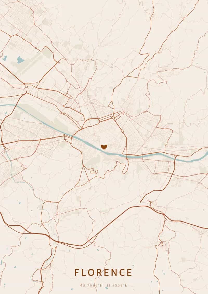
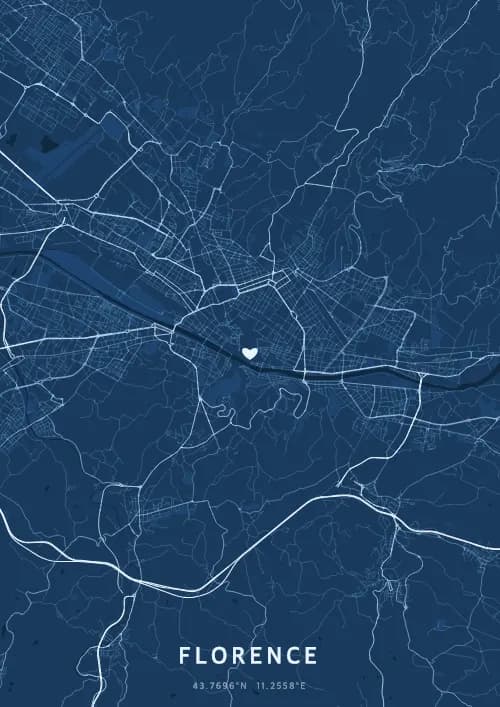
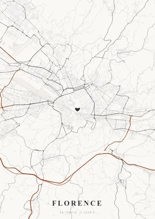
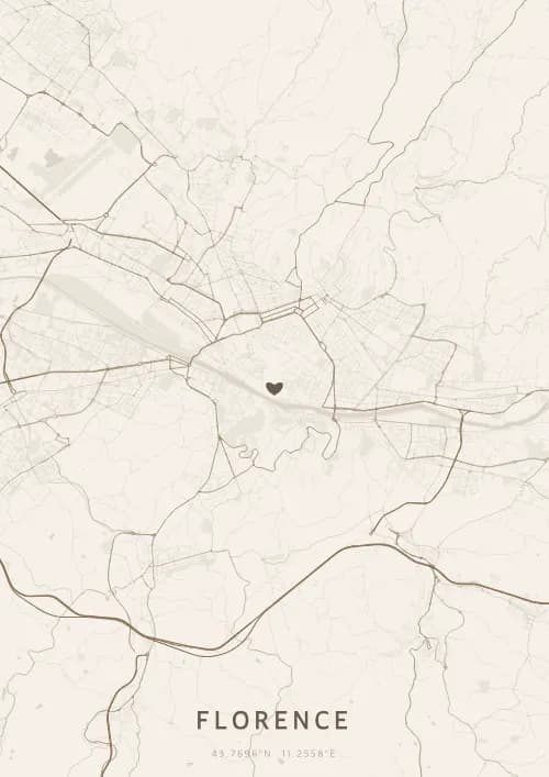
An OwnHomeMap city poster of Florence is a decorative rendering of the supported roads, water features, and green-space polygons returned for the selected area by the active map-data source. Coverage varies by place and source response, so the generated preview—not this page—is the record of what the design will contain. It is not a navigation or surveying map.
Report a map-data or preview issue
Personalized City Map Poster of Florence
43.7696°N, 11.2558°E
Cradle of the Renaissance, Florence unfurls its map above Brunelleschi's dome and the Ponte Vecchio. Gift a Florentine city map poster — a present as timeless as the Uffizi masterpieces beneath the Tuscan sky.
Famous Landmarks
Florence Cathedral
43.7696°N, 11.2558°E
The Cathedral of Santa Maria del Fiore, crowned by Brunelleschi's dome, has been Florence's symbol since 1436. Its 45-metre-wide dome was the largest in the world upon completion. Giotto's bell tower and the baptistery complete this UNESCO World Heritage ensemble.
Ponte Vecchio
43.7696°N, 11.2558°E
The Ponte Vecchio, built in 1345, is Florence's oldest stone bridge. Lined with goldsmiths' shops since the 16th century, it spans the Arno with its medieval arches. The Vasari Corridor runs above the shops, connecting Palazzo Vecchio to the Pitti Palace.
Uffizi Gallery
43.7696°N, 11.2558°E
The Uffizi Gallery, founded in 1581, is one of the oldest and most visited museums in the world. It houses masterpieces by Botticelli, Leonardo da Vinci, and Raphael. Its U-shaped building designed by Vasari stretches over 150 metres along the Arno.
Why gift a city map poster of Florence?
Gifting a city map poster of Florence means celebrating the city where Galileo observed the streets and where the Renaissance transformed the world. Every quartier above the Ponte Vecchio or Piazzale Michelangelo carries centuries of art and love. A perfect gift to immortalize a Tuscan moment.
The map of Florence
At 43.8° north latitude, Florence has a remarkably coherent Renaissance city plan, structured by the Arno crossed by six historic bridges including the famous Ponte Vecchio. The straight streets inherited from the Roman cardo and decumanus form a regular grid around the Duomo, while the hills of Fiesole and Piazzale Michelangelo offer panoramas revealing the full geometry of the Tuscan urban fabric.
Frequently asked questions
What does a Florence city map poster show?
A Florence city map poster uses the supported roads, water features, and green-space polygons returned for the selected area by the active map-data source. Coverage varies by place and source response, so review the generated preview before ordering. You can personalize the composition with a title, date, and coordinates.
What are the best themes for a Florence poster?
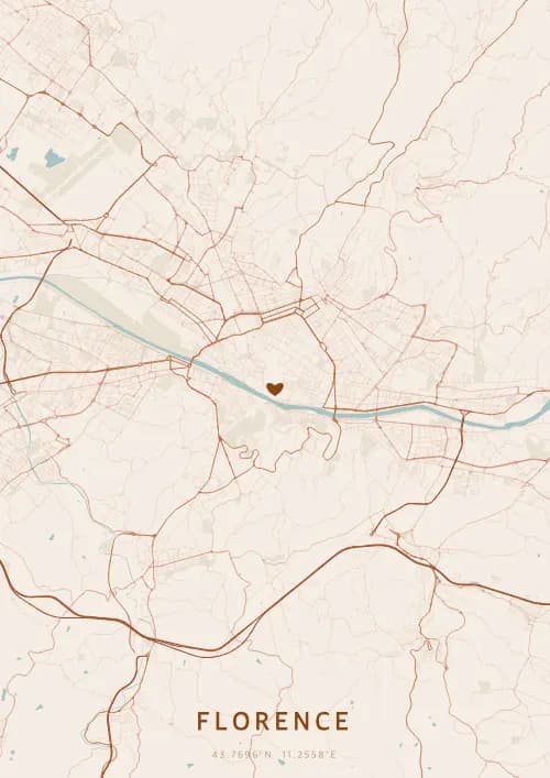
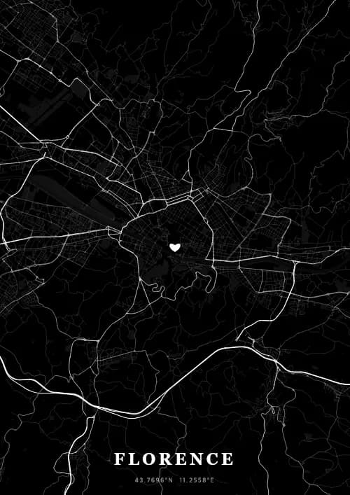
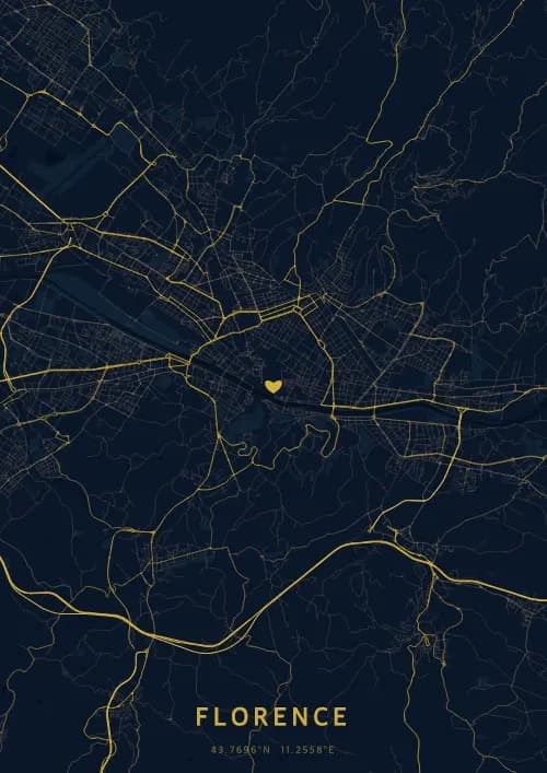
OwnHomeMap offers several visual themes. Available examples for Florence include Midnight Blue for a dark, elegant look, Terracotta for a warm palette, Blueprint for an architectural style, and Noir for a monochrome design. Preview the current themes in the design tool before purchasing.
How accurate is the Florence map?
The poster uses the streets, parks, and waterways returned for Florence by the active map-data source. Coverage and detail vary by location and source response, so review the generated preview before ordering.
Can I get a Florence poster as a gift?
Yes, a Florence city map poster makes a meaningful gift for anyone with a connection to the city — whether they were born there, got married, studied, or simply have cherished memories of Florence. You can add a personal inscription, choose from multiple sizes, and select either a digital PNG file or a printed poster.
Create your city map poster of Florence
From €12.00
Create my city map poster