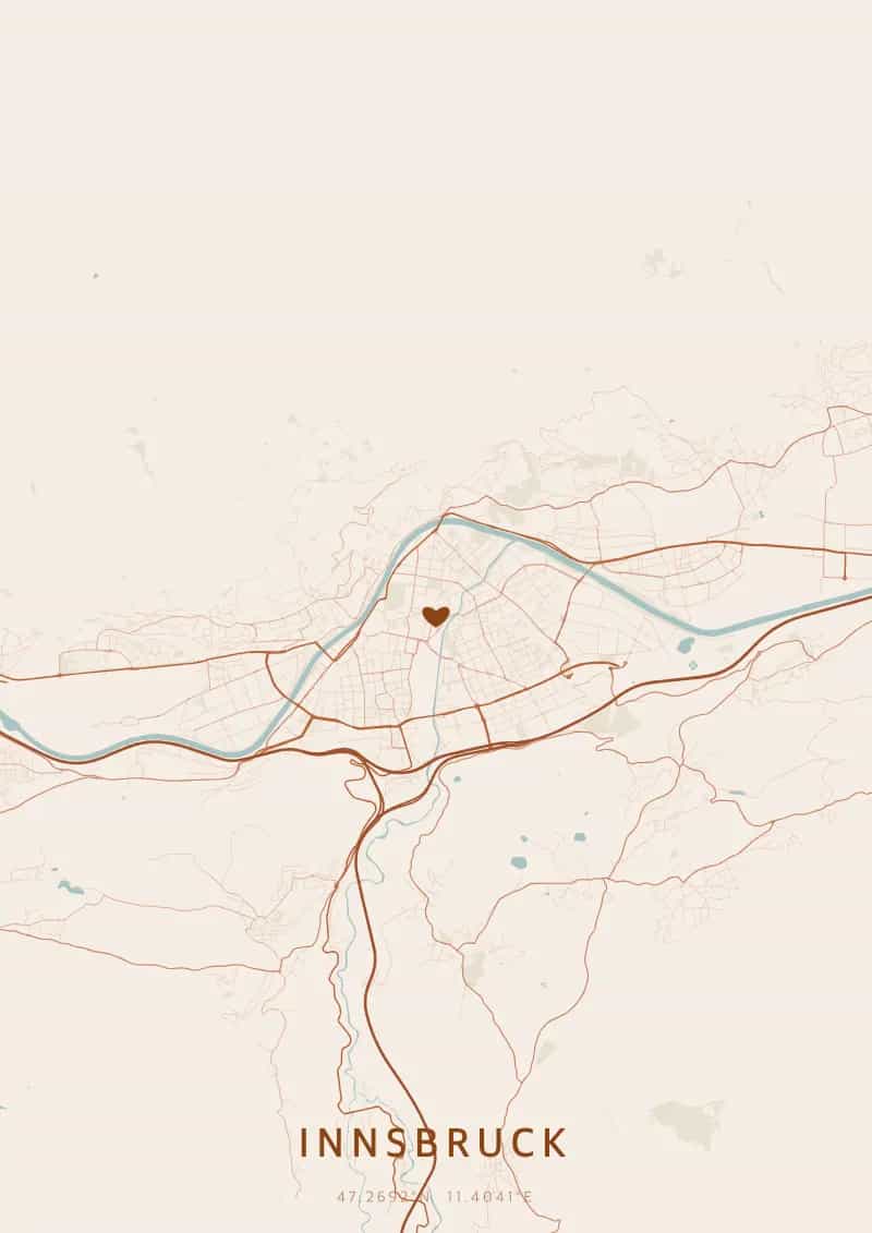
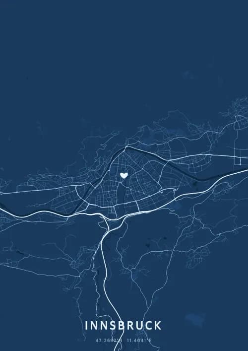
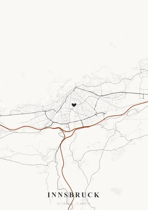
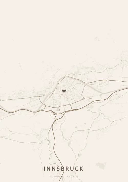
An OwnHomeMap city poster of Innsbruck is a decorative rendering of the supported roads, water features, and green-space polygons returned for the selected area by the active map-data source. Coverage varies by place and source response, so the generated preview—not this page—is the record of what the design will contain. It is not a navigation or surveying map.
Report a map-data or preview issue
Personalized City Map Poster of Innsbruck
47.2692°N, 11.4041°E
At the heart of the Tyrolean Alps, Innsbruck reveals its streets between snow-capped peaks and the Golden Roof. Gift a Innsbruck city map poster — a present as grand as the illuminated Nordkette beneath the Alpine plan.
Famous Landmarks
Golden Roof
47.2692°N, 11.4041°E
The Golden Roof, built in 1500 for Emperor Maximilian I, is a balcony adorned with 2,657 fire-gilded copper tiles overlooking the old town. From this balcony, the emperor watched spectacles and tournaments in the square below. The building now houses a museum dedicated to Maximilian and medieval Tyrolean history.
Imperial Palace
47.2692°N, 11.4041°E
The Hofburg in Innsbruck is an imperial palace built in the 15th century and expanded by Empress Maria Theresa in the 18th century in Rococo style. Its 30 state rooms include the Giant's Hall adorned with Habsburg dynasty portraits. It is one of Austria's three most important imperial palaces, alongside those in Vienna and Salzburg.
Nordkette
47.2692°N, 11.4041°E
The Nordkette is a limestone mountain range reaching 2,334 metres, accessible directly from Innsbruck city centre via a three-stage cable car. It offers a 360-degree panorama of the Tyrolean Alps and the Inn Valley. In winter it is a popular ski area, and in summer a hiking paradise with views over the city.
Why gift a city map poster of Innsbruck?
Gifting a city map poster of Innsbruck means capturing a moment between Alpine peaks and imperial heritage. Whether it was a first meeting in the medieval old town, a panorama from the Nordkette, or a stroll along the Inn at dusk, this poster immortalizes the streets of that grand instant. A gift as majestic as the snow-capped summits framing the city.
The map of Innsbruck
At 47° north latitude in the Inn Valley, Innsbruck stretches lengthwise between the Nordkette range to the north and the Patscherkofel to the south, creating an elongated street plan along the Inn river. The compact historic centre around Herzog-Friedrich-Strasse and the Golden Roof contrasts with residential districts climbing the valley slopes. This narrow valley geography gives the map a spectacular elongated format.
Frequently asked questions
What does a Innsbruck city map poster show?
A Innsbruck city map poster uses the supported roads, water features, and green-space polygons returned for the selected area by the active map-data source. Coverage varies by place and source response, so review the generated preview before ordering. You can personalize the composition with a title, date, and coordinates.
What are the best themes for a Innsbruck poster?
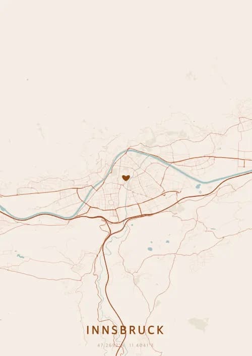
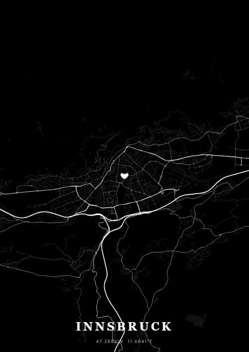
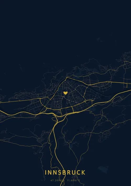
OwnHomeMap offers several visual themes. Available examples for Innsbruck include Midnight Blue for a dark, elegant look, Terracotta for a warm palette, Blueprint for an architectural style, and Noir for a monochrome design. Preview the current themes in the design tool before purchasing.
How accurate is the Innsbruck map?
The poster uses the streets, parks, and waterways returned for Innsbruck by the active map-data source. Coverage and detail vary by location and source response, so review the generated preview before ordering.
Can I get a Innsbruck poster as a gift?
Yes, a Innsbruck city map poster makes a meaningful gift for anyone with a connection to the city — whether they were born there, got married, studied, or simply have cherished memories of Innsbruck. You can add a personal inscription, choose from multiple sizes, and select either a digital PNG file or a printed poster.
Create your city map poster of Innsbruck
From €12.00
Create my city map poster