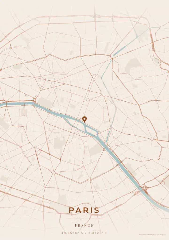
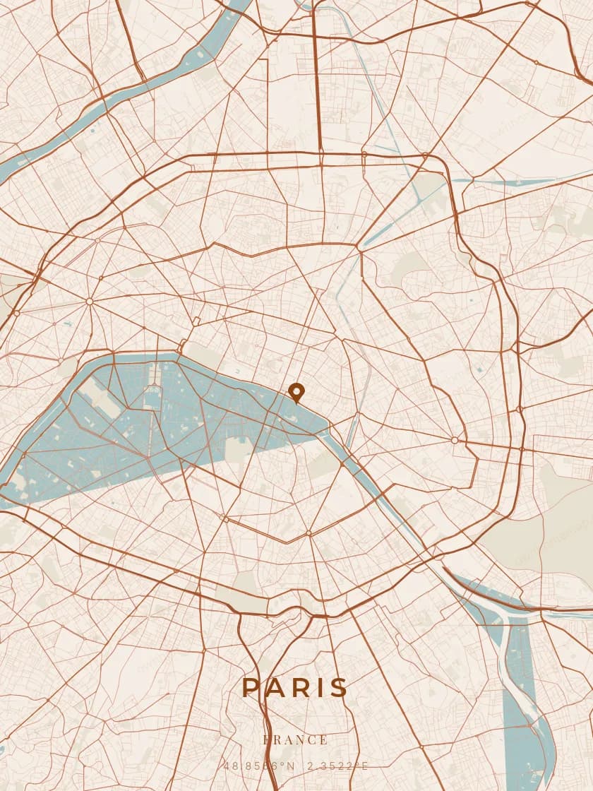
An OwnHomeMap city poster of Philadelphia is a decorative rendering of the supported roads, water features, and green-space polygons returned for the selected area by the active map-data source. Coverage varies by place and source response, so the generated preview—not this page—is the record of what the design will contain. It is not a navigation or surveying map.
Report a map-data or preview issue
Personalized City Map Poster of Philadelphia
39.9526°N, 75.1652°W
City of Brotherly Love and birthplace of American democracy, Philadelphia reveals its treasures between Independence Hall and the art museum steps immortalized by Rocky. Gift a Philadelphia city map poster — a present as patriotic and moving as the Liberty Bell through the streets of Pennsylvania.
Famous Landmarks
Independence Hall
39.9526°N, 75.1652°W
Independence Hall is the building where the Declaration of Independence was signed in 1776 and the United States Constitution in 1787. This Georgian red-brick masterpiece, a UNESCO World Heritage Site, is the very symbol of the birth of the American nation.
Liberty Bell
39.9526°N, 75.1652°W
The Liberty Bell, with its iconic crack, is one of the most recognized symbols of American independence. Cast in 1752 and displayed in a glass pavilion facing Independence Hall, it continues to embody the ideals of liberty and justice for millions of visitors each year.
Philadelphia Museum of Art
39.9526°N, 75.1652°W
The Philadelphia Museum of Art, recognizable by its imposing neoclassical facade and the 72 steps made famous by the film Rocky, houses one of the largest art collections in the United States. Its galleries span 2,000 years of art history, from antiquity to contemporary installations.
Why gift a city map poster of Philadelphia?
Gifting a city map poster of Philadelphia means immortalizing a moment in the city where America was born. Whether it was a first meeting at Rittenhouse Square, a wedding in the historic atmosphere of Old City, or a magical evening on Boathouse Row, this poster captures the streets of your Philadelphia moment. A present as sincere and memorable as the City of Brotherly Love.
The map of Philadelphia
Philadelphia, at 40° north latitude, was one of the first American cities to adopt a grid plan, designed by William Penn in 1682. Its five original squares — including Rittenhouse and Washington — punctuate the regular grid, while the Schuylkill and Delaware rivers frame the historic peninsula. The Benjamin Franklin Parkway, cut diagonally through the grid, elegantly breaks this geometry in the style of the Champs-Élysées.
Frequently asked questions
What does a Philadelphia city map poster show?
A Philadelphia city map poster uses the supported roads, water features, and green-space polygons returned for the selected area by the active map-data source. Coverage varies by place and source response, so review the generated preview before ordering. You can personalize the composition with a title, date, and coordinates.
What are the best themes for a Philadelphia poster?
OwnHomeMap offers several visual themes. Available examples for Philadelphia include Midnight Blue for a dark, elegant look, Terracotta for a warm palette, Blueprint for an architectural style, and Noir for a monochrome design. Preview the current themes in the design tool before purchasing.
How accurate is the Philadelphia map?
The poster uses the streets, parks, and waterways returned for Philadelphia by the active map-data source. Coverage and detail vary by location and source response, so review the generated preview before ordering.
Can I get a Philadelphia poster as a gift?
Yes, a Philadelphia city map poster makes a meaningful gift for anyone with a connection to the city — whether they were born there, got married, studied, or simply have cherished memories of Philadelphia. You can add a personal inscription, choose from multiple sizes, and select either a digital PNG file or a printed poster.
Create your city map poster of Philadelphia
From €12.00
Create my city map poster