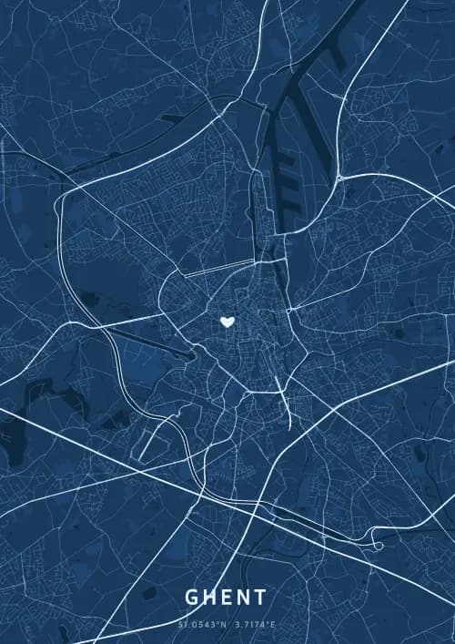
Een stadskaartposter van Gent toont het echte stratennetwerk van Gent, gegenereerd uit OpenStreetMap-data en beschikbaar in 17 thema's.
Gepersonaliseerde stadskaart poster van Gent
51.0543°N, 3.7174°E
Op de samenvloeiing van Leie en Schelde weerspiegelen de straten van Gent zich in de middeleeuwse gevels van de Graslei. Schenk een Gentse stadskaart poster — een cadeau zo lichtgevend als de avondverlichting van het Belfort onder de Vlaamse hemel.
Bekende bezienswaardigheden
Gravensteen
51.0543°N, 3.7174°E
Gravensteen Castle, built in 1180 by Philip of Alsace, is one of the last intact medieval fortresses in Flanders. Surrounded by a moat fed by the River Leie, it served successively as a count's residence, a prison, and a cotton mill. Its battlements offer panoramic views over Ghent's rooftops.
Belfort van Gent
51.0543°N, 3.7174°E
The Ghent Belfry, standing 91 metres tall, is the tallest belfry in Belgium and a UNESCO World Heritage Site. Built between 1313 and 1380, it once housed the city's privileges in an armoured chest. Its golden dragon atop has watched over Ghent for more than six centuries.
Sint-Baafskathedraal
51.0543°N, 3.7174°E
St Bavo's Cathedral, built between the 13th and 16th centuries, is Ghent's largest religious building. It houses the famous Ghent Altarpiece by the Van Eyck brothers, completed in 1432, considered one of the masterpieces of Western art. Its Romanesque crypt dates from the 12th century.
Waarom een stadskaartposter van Gent cadeau geven?
Een stadskaart poster van Gent cadeau doen, is de charme vereeuwigen van een levendige studentenstad waar middeleeuwen en moderniteit elkaar raken. Van de verlichte Graslei tot de Gentse Feesten leeft Gent op het ritme van haar reien en lichten. Een Gentse stadskaart legt de schoonheid van Vlaamse avonden vast.
De kaart van Gent
Op 51,1° noorderbreedte onthult Gent een opvallend middeleeuws stadsplan, gevormd door de samenvloeiing van Leie en Schelde. De waterlopen waaieren uit door het historische centrum en vormen een netwerk van reien met gildehuizen aan de Graslei en Korenlei. Het indrukwekkende Gravensteen en de drie torens van Belfort, Sint-Baafs en Sint-Niklaas accentueren een opmerkelijk dicht stedelijk weefsel.
Veelgestelde vragen
Wat toont een stadskaartposter van Gent?
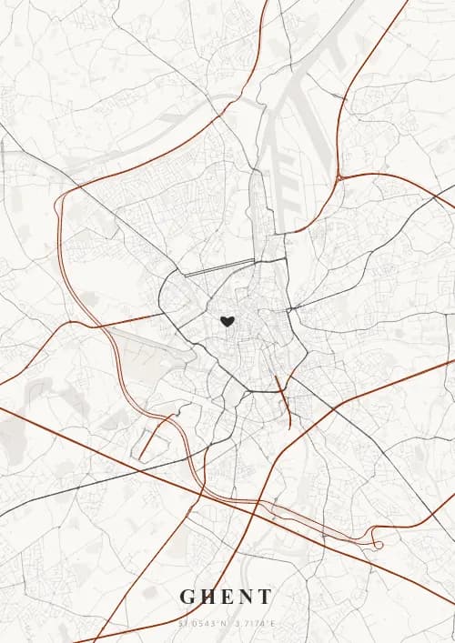
Een stadskaartposter van Gent toont het echte stratennetwerk, de waterwegen en de parken van Gent van bovenaf gezien. De kaart wordt gegenereerd uit OpenStreetMap-data en geeft een gedetailleerde wegenhiërarchie weer — van snelwegen tot kleine woonstraten — elk met eigen kleuren en lijndiktes. Je kunt hem personaliseren met een titel, datum en coördinaten om een bijzonder moment in Gent te vereeuwigen.
Wat zijn de beste thema's voor een poster van Gent?
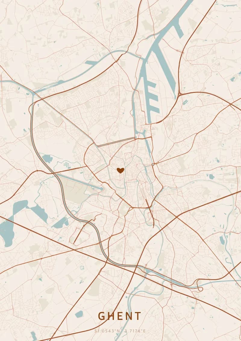
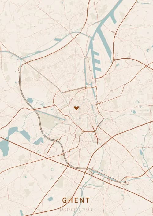
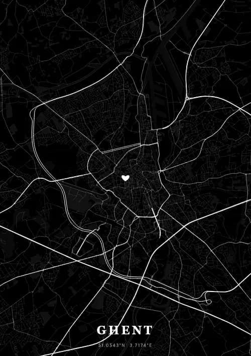
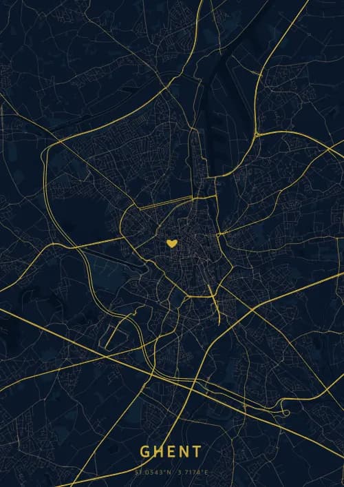
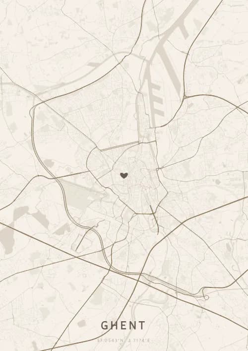
OwnHomeMap biedt 17 unieke visuele thema's. Populaire keuzes voor Gent zijn Midnight Blue voor een klassieke, elegante look, Terracotta voor een warme mediterrane sfeer, Blueprint voor een architecturale stijl en Noir voor een opvallend monochroom ontwerp. Je kunt elk thema in realtime bekijken in onze gratis ontwerptool voordat je koopt.
Hoe nauwkeurig is de kaart van Gent?
Zeer nauwkeurig. De kaart van Gent gebruikt echte cartografische data van OpenStreetMap, de grootste open geografische database ter wereld, onderhouden door meer dan 2 miljoen bijdragers. Grote steden zoals Gent hebben een uitzonderlijk gedetailleerde dekking met duizenden straten, rivieren, parken en wijken in cartografische precisie.
Kan ik een poster van Gent cadeau geven?
Ja, een stadskaartposter van Gent is een betekenisvol cadeau voor iedereen met een band met de stad — of ze er nu geboren zijn, getrouwd zijn, gestudeerd hebben of gewoon dierbare herinneringen aan Gent koesteren. Je kunt een persoonlijke inscriptie toevoegen, kiezen uit meerdere formaten en kiezen voor een directe digitale download of een premium gedrukte poster met optionele lijst.