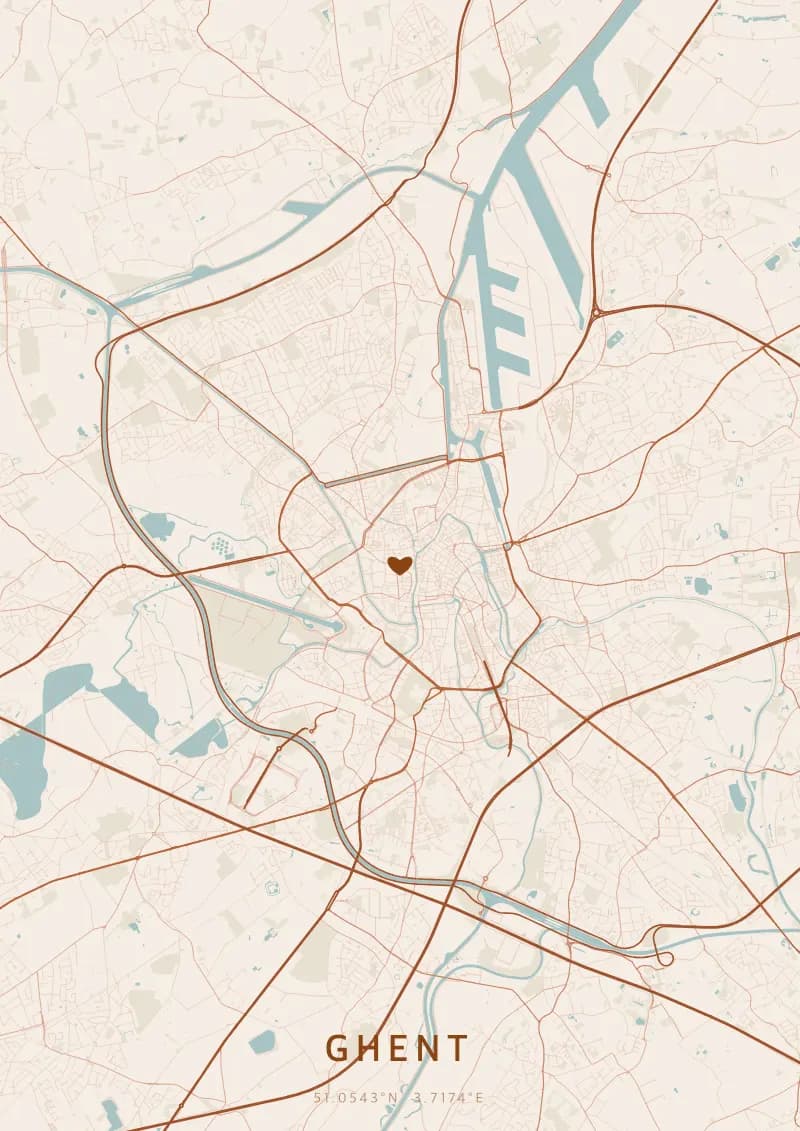
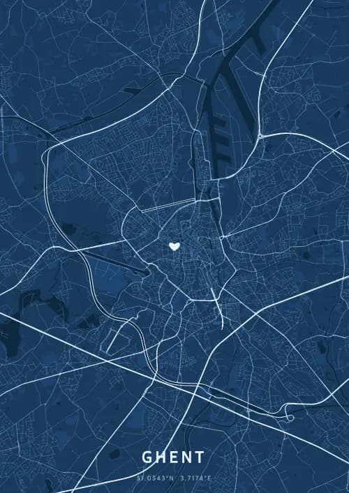
Un poster mappa di Ghent mostra la rete stradale reale di Ghent generata dai dati OpenStreetMap, disponibile in 17 temi.
Personalized City Map Poster of Ghent
51.0543°N, 3.7174°E
At the confluence of the Leie and the Scheldt, the streets of Ghent reflect off the medieval facades of the Graslei. Gift a Ghent city map poster — a present as luminous as the belfry's night lighting beneath the Flemish quartiers.
Luoghi iconici
Gravensteen Castle
51.0543°N, 3.7174°E
Gravensteen Castle, built in 1180 by Philip of Alsace, is one of the last intact medieval fortresses in Flanders. Surrounded by a moat fed by the River Leie, it served successively as a count's residence, a prison, and a cotton mill. Its battlements offer panoramic views over Ghent's rooftops.
Ghent Belfry
51.0543°N, 3.7174°E
The Ghent Belfry, standing 91 metres tall, is the tallest belfry in Belgium and a UNESCO World Heritage Site. Built between 1313 and 1380, it once housed the city's privileges in an armoured chest. Its golden dragon atop has watched over Ghent for more than six centuries.
St Bavo's Cathedral
51.0543°N, 3.7174°E
St Bavo's Cathedral, built between the 13th and 16th centuries, is Ghent's largest religious building. It houses the famous Ghent Altarpiece by the Van Eyck brothers, completed in 1432, considered one of the masterpieces of Western art. Its Romanesque crypt dates from the 12th century.
Perché regalare un poster mappa di Ghent?
Gifting a city map poster of Ghent means immortalizing the charm of a vibrant university city where the Middle Ages meet modernity. From the illuminated Graslei to the Gentse Feesten festival, Ghent pulses with canals and lights. A Ghent city map poster captures the beauty of Flemish nights.
La mappa di Ghent
At 51.1° north latitude, Ghent reveals a striking medieval street plan shaped by the confluence of the Leie and Scheldt rivers. The waterways fan out through the historic centre, creating a network of canals lined with guild houses along the Graslei and Korenlei. The imposing Gravensteen castle and the three towers of the belfry, Saint Bavo's, and Saint Nicholas's punctuate a remarkably dense urban fabric.
Domande frequenti
Cosa mostra un poster mappa di Ghent?
Un poster mappa di Ghent mostra la rete reale di strade, corsi d'acqua e parchi di Ghent vista dall'alto. La mappa è generata dai dati OpenStreetMap e visualizza una gerarchia stradale dettagliata — dalle autostrade fino alle piccole strade residenziali — ciascuna resa con colori e spessori distinti. Puoi personalizzarla con un titolo, una data e le coordinate per commemorare un momento speciale a Ghent.
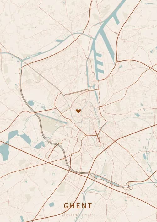
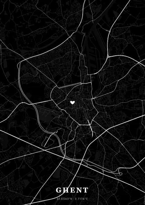
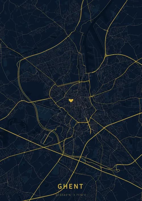
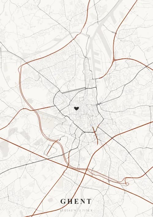
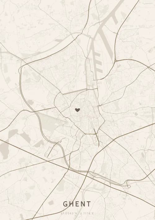
Quali sono i temi migliori per un poster di Ghent?
OwnHomeMap offre 17 temi visivi unici. Le scelte popolari per Ghent includono Midnight Blue per un look classico ed elegante, Terracotta per un'atmosfera mediterranea calda, Blueprint per uno stile architettonico e Noir per un design monocromatico d'impatto. Puoi visualizzare in anteprima ogni tema in tempo reale nel nostro strumento di design gratuito prima dell'acquisto.
Quanto è precisa la mappa di Ghent?
Molto precisa. La mappa di Ghent utilizza dati cartografici reali di OpenStreetMap, il più grande database geografico aperto al mondo, mantenuto da oltre 2 milioni di contributori. Le grandi città come Ghent hanno una copertura eccezionalmente dettagliata, con migliaia di strade, fiumi, parchi e quartieri resi con precisione cartografica.
Posso regalare un poster di Ghent?
Sì, un poster mappa di Ghent è un regalo significativo per chiunque abbia un legame con la città — che ci sia nato, si sia sposato, abbia studiato o conservi semplicemente bei ricordi di Ghent. Puoi aggiungere una dedica personale, scegliere tra diverse dimensioni e optare per un download digitale immediato o un poster stampato premium con cornice opzionale.