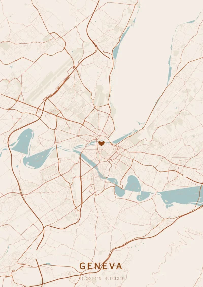
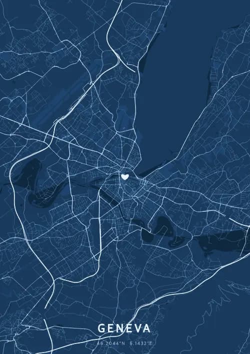
Un poster mappa di Geneva mostra la rete stradale reale di Geneva generata dai dati OpenStreetMap, disponibile in 17 temi.
Personalized City Map Poster of Geneva
46.2044°N, 6.1432°E
On the shores of Lake Geneva, the streets wind along the calm waters at the foot of Mont Blanc. Gift a Geneva city map poster — a present as elegant as the Jet d'Eau rising towards the quartiers above the international city.
Luoghi iconici
Jet d'Eau
46.2044°N, 6.1432°E
The Jet d'Eau propels 500 litres of water per second to a height of 140 metres, making it one of the tallest fountains in the world. Created in 1886 as a hydraulic safety valve, it has become the symbol of Geneva. Visible for kilometres, it illuminates Lake Geneva each evening with powerful floodlights.
Palace of Nations
46.2044°N, 6.1432°E
The Palace of Nations, built between 1929 and 1938, is the European headquarters of the United Nations and the second-largest UN complex after New York. It hosts over 10,000 meetings annually and houses a library of 1 million volumes. Its 46-hectare Ariana Park offers a spectacular view of Lake Geneva and Mont Blanc.
St. Pierre Cathedral
46.2044°N, 6.1432°E
St. Pierre Cathedral, built between 1160 and 1252, is a remarkable blend of Romanesque, Gothic, and neoclassical styles. John Calvin preached the Reformation here from 1536, making Geneva the 'Protestant Rome'. From its towers, accessible via 157 steps, one enjoys a unique panorama of the old town, the lake, and the Alps.
Perché regalare un poster mappa di Geneva?
Gifting a city map poster of Geneva means immortalizing a moment above Lake Geneva and Mont Blanc. Whether it was a proposal before the Jet d'Eau, a walk in the English Garden, or a sunset on the Ouchy waterfront, this poster captures the exact streets of that elegant instant. A gift as international and refined as the city of diplomacy and watchmaking.
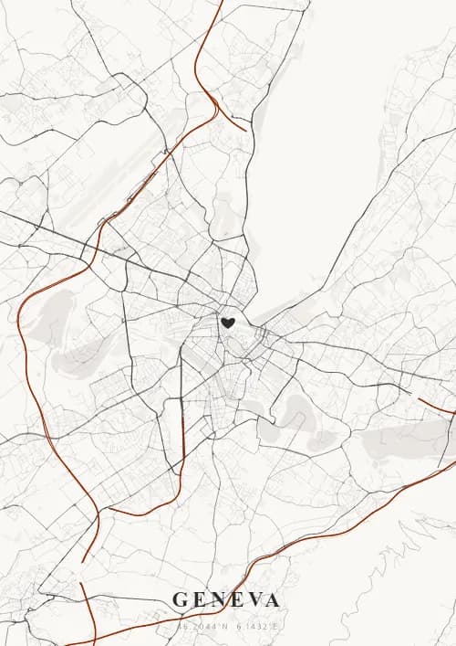
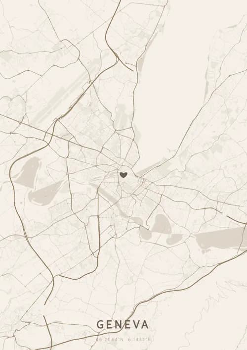
La mappa di Geneva
At 46° north latitude on the shores of Lake Geneva, the city spreads from the southwestern tip of the lake where the Rhone exits. The hilltop Old Town overlooks an elegant network of lakeside quays and parks. The street plan reflects the city's international character, with the international organisation district to the north and the Rive shopping streets to the south. The Jet d'Eau and the Mont-Blanc bridge mark the central axis of a map with remarkable aquatic geometry.
Domande frequenti
Cosa mostra un poster mappa di Geneva?
Un poster mappa di Geneva mostra la rete reale di strade, corsi d'acqua e parchi di Geneva vista dall'alto. La mappa è generata dai dati OpenStreetMap e visualizza una gerarchia stradale dettagliata — dalle autostrade fino alle piccole strade residenziali — ciascuna resa con colori e spessori distinti. Puoi personalizzarla con un titolo, una data e le coordinate per commemorare un momento speciale a Geneva.
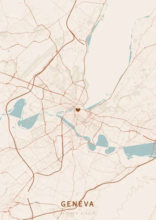
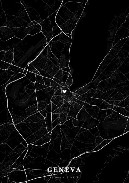
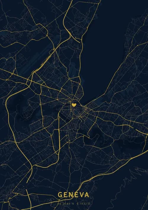
Quali sono i temi migliori per un poster di Geneva?
OwnHomeMap offre 17 temi visivi unici. Le scelte popolari per Geneva includono Midnight Blue per un look classico ed elegante, Terracotta per un'atmosfera mediterranea calda, Blueprint per uno stile architettonico e Noir per un design monocromatico d'impatto. Puoi visualizzare in anteprima ogni tema in tempo reale nel nostro strumento di design gratuito prima dell'acquisto.
Quanto è precisa la mappa di Geneva?
Molto precisa. La mappa di Geneva utilizza dati cartografici reali di OpenStreetMap, il più grande database geografico aperto al mondo, mantenuto da oltre 2 milioni di contributori. Le grandi città come Geneva hanno una copertura eccezionalmente dettagliata, con migliaia di strade, fiumi, parchi e quartieri resi con precisione cartografica.
Posso regalare un poster di Geneva?
Sì, un poster mappa di Geneva è un regalo significativo per chiunque abbia un legame con la città — che ci sia nato, si sia sposato, abbia studiato o conservi semplicemente bei ricordi di Geneva. Puoi aggiungere una dedica personale, scegliere tra diverse dimensioni e optare per un download digitale immediato o un poster stampato premium con cornice opzionale.